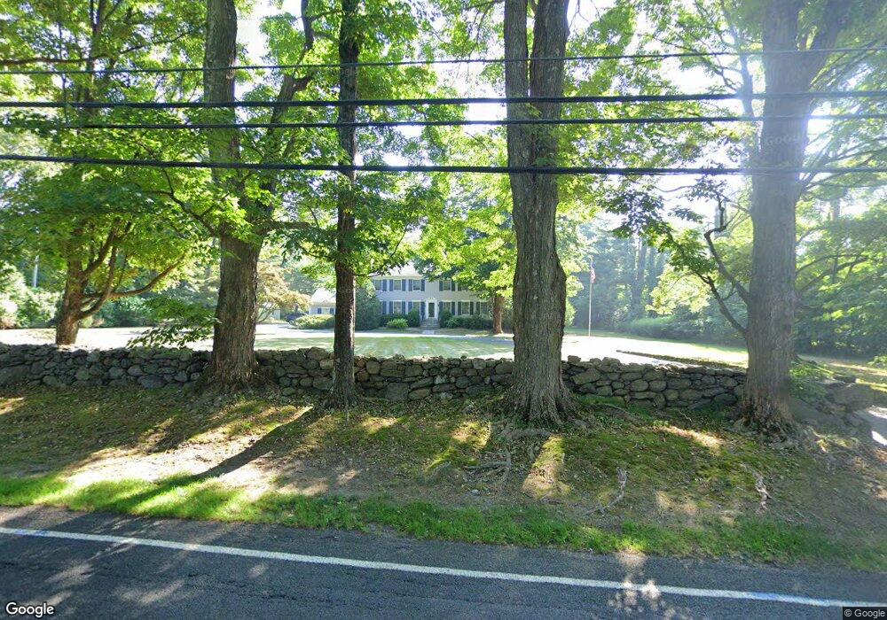
2436 Redding Rd Fairfield, CT 06824
Greenfield Hill NeighborhoodEstimated Value: $1,247,951 - $2,213,000
4
Beds
3
Baths
3,355
Sq Ft
$513/Sq Ft
Est. Value
About This Home
This home is located at 2436 Redding Rd, Fairfield, CT 06824 and is currently estimated at $1,721,488, approximately $513 per square foot. 2436 Redding Rd is a home located in Fairfield County with nearby schools including Burr Elementary School, Tomlinson Middle School, and Fairfield Warde High School.
Ownership History
Date
Name
Owned For
Owner Type
Purchase Details
Closed on
Sep 8, 2010
Sold by
Cummings Richard T
Bought by
Cummings Sally K
Current Estimated Value
Purchase Details
Closed on
Aug 2, 2010
Sold by
Cummings Sally K
Bought by
Cummings Richard T and Cummings Sally K
Purchase Details
Closed on
Aug 21, 1995
Sold by
Jansen Cheryl S
Bought by
Cummings Sally K
Purchase Details
Closed on
Jun 25, 1991
Sold by
King Edgar A
Bought by
Jansen Herbert G and Jansen Cheryl
Create a Home Valuation Report for This Property
The Home Valuation Report is an in-depth analysis detailing your home's value as well as a comparison with similar homes in the area
Home Values in the Area
Average Home Value in this Area
Purchase History
| Date | Buyer | Sale Price | Title Company |
|---|---|---|---|
| Cummings Sally K | -- | -- | |
| Cummings Sally K | -- | -- | |
| Cummings Richard T | -- | -- | |
| Cummings Richard T | -- | -- | |
| Cummings Sally K | $590,000 | -- | |
| Cummings Sally K | $590,000 | -- | |
| Jansen Herbert G | $520,000 | -- |
Source: Public Records
Mortgage History
| Date | Status | Borrower | Loan Amount |
|---|---|---|---|
| Open | Jansen Herbert G | $130,000 | |
| Previous Owner | Jansen Herbert G | $150,000 |
Source: Public Records
Tax History
| Year | Tax Paid | Tax Assessment Tax Assessment Total Assessment is a certain percentage of the fair market value that is determined by local assessors to be the total taxable value of land and additions on the property. | Land | Improvement |
|---|---|---|---|---|
| 2025 | $16,308 | $574,420 | $297,570 | $276,850 |
| 2024 | $16,026 | $574,420 | $297,570 | $276,850 |
| 2023 | $15,802 | $574,420 | $297,570 | $276,850 |
| 2022 | $15,647 | $574,420 | $297,570 | $276,850 |
| 2021 | $3,619 | $574,420 | $297,570 | $276,850 |
| 2020 | $3,683 | $616,560 | $286,510 | $330,050 |
| 2019 | $3,683 | $616,560 | $286,510 | $330,050 |
| 2018 | $16,253 | $616,560 | $286,510 | $330,050 |
| 2017 | $3,649 | $616,560 | $286,510 | $330,050 |
| 2016 | $15,691 | $616,560 | $286,510 | $330,050 |
| 2015 | $15,517 | $625,940 | $318,920 | $307,020 |
| 2014 | $15,273 | $625,940 | $318,920 | $307,020 |
Source: Public Records
Map
Nearby Homes
- 22 Brett Rd
- 158 Coventry Ln
- 4800 Congress St
- 180 Catamount Rd
- 200 Long Meadow Rd
- 3674 Congress St
- 88 Merry Meet Cir
- 212 Fence Row Dr
- 1380 Old Academy Rd
- 312 Towne House Rd
- 1375 Westport Turnpike
- 11 Judges Hollow Rd
- 2177 Cross Hwy
- 85-95 Old Easton Turnpike
- 140 Mile Common Rd
- 2683 Bronson Rd
- 6 Nutcracker Ln
- 110 Queens Grant Dr
- 1 Greenlea Ln
- 9 Greenbrier Rd
- 2416 Redding Rd
- 2514 Redding Rd
- 2440 Redding Rd
- 2493 Redding Rd
- 2388 Redding Rd
- 2540 Redding Rd
- 2495 Redding Rd
- 2401 Redding Rd
- 2384 Redding Rd
- 2550 Redding Rd
- 2576 Redding Rd
- 2345 Redding Rd
- 95 Evergreen Hill Rd
- 2312 Redding Rd
- 125 Evergreen Hill Rd
- 650 Banks North Rd
- 138 Evergreen Hill Rd
- 720 Banks North Rd
- 445 Brett Rd
- 2605 Redding Rd
Your Personal Tour Guide
Ask me questions while you tour the home.