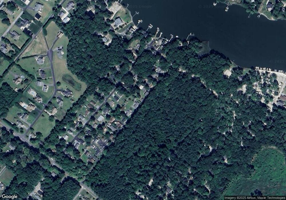
24364 Shady Ln Millsboro, DE 19966
Estimated Value: $76,000 - $189,000
1
Bed
--
Bath
520
Sq Ft
$223/Sq Ft
Est. Value
About This Home
This home is located at 24364 Shady Ln, Millsboro, DE 19966 and is currently estimated at $115,882, approximately $222 per square foot. 24364 Shady Ln is a home with nearby schools including Long Neck Elementary School, Millsboro Middle School, and Sussex Central High School.
Ownership History
Date
Name
Owned For
Owner Type
Purchase Details
Closed on
Sep 30, 2024
Sold by
Updegrove Thomas F and Shubert Christine C
Bought by
Adams Joshua L
Current Estimated Value
Home Financials for this Owner
Home Financials are based on the most recent Mortgage that was taken out on this home.
Original Mortgage
$60,000
Outstanding Balance
$57,600
Interest Rate
5.62%
Mortgage Type
New Conventional
Estimated Equity
$58,282
Purchase Details
Closed on
Aug 21, 2020
Sold by
Updegrove Thomas F
Bought by
Updegrove Thomas F and Updegrove Clarence B
Purchase Details
Closed on
Jul 21, 2020
Sold by
Updegrove Thomas F
Bought by
Updegrove Thomas F and Updegrove Clarence B
Purchase Details
Closed on
May 17, 2000
Bought by
Updegrove Joan Elaine
Create a Home Valuation Report for This Property
The Home Valuation Report is an in-depth analysis detailing your home's value as well as a comparison with similar homes in the area
Home Values in the Area
Average Home Value in this Area
Purchase History
| Date | Buyer | Sale Price | Title Company |
|---|---|---|---|
| Adams Joshua L | $75,000 | None Listed On Document | |
| Adams Joshua L | $75,000 | None Listed On Document | |
| Updegrove Thomas F | -- | None Available | |
| Updegrove Thomas F | -- | None Available | |
| Updegrove Joan Elaine | -- | -- |
Source: Public Records
Mortgage History
| Date | Status | Borrower | Loan Amount |
|---|---|---|---|
| Open | Adams Joshua L | $60,000 | |
| Closed | Adams Joshua L | $60,000 |
Source: Public Records
Tax History Compared to Growth
Tax History
| Year | Tax Paid | Tax Assessment Tax Assessment Total Assessment is a certain percentage of the fair market value that is determined by local assessors to be the total taxable value of land and additions on the property. | Land | Improvement |
|---|---|---|---|---|
| 2025 | $269 | $4,750 | $2,500 | $2,250 |
| 2024 | $196 | $4,750 | $2,500 | $2,250 |
| 2023 | $196 | $4,750 | $2,500 | $2,250 |
| 2022 | $193 | $4,750 | $2,500 | $2,250 |
| 2021 | $187 | $4,750 | $2,500 | $2,250 |
| 2020 | $179 | $4,750 | $2,500 | $2,250 |
| 2019 | $178 | $4,750 | $2,500 | $2,250 |
| 2018 | $180 | $4,750 | $0 | $0 |
| 2017 | $181 | $4,750 | $0 | $0 |
| 2016 | $160 | $4,750 | $0 | $0 |
| 2015 | $164 | $4,750 | $0 | $0 |
| 2014 | $162 | $4,750 | $0 | $0 |
Source: Public Records
Map
Nearby Homes
- 24644 Dogwood Ln
- Lot 1 Canal Drive Extended
- 32383 Austin Dr
- 24151 Creek View Dr
- 24065 Cari Dr
- 24339 Banks Rd
- 32313 E Mulligan Way Unit 4357
- 24965 Crooked Stick Way Unit 4343
- 24606 S Topline Way Unit 4303
- 26178 Milby Cir
- 24602 Topline Way Unit 4305
- 3302 Hawthorne Dr
- 32667 Back Nine Way Unit 3857
- 32675 Back Nine Way Unit 3858
- The Robbins Plan at Serenity at Pinewater Farm
- 25010 Pot Bunker Way Unit 3700
- 25008 Pot Bunker Way Unit 3701
- 3307 Hawthorn Dr
- 5 Blackberry Ln
- 32408 Mariners Way
- 24354 Shady Ln
- 24372 Shady Ln
- 24311 Canal Dr
- 24346 Shady Ln
- 24317 Canal Dr
- 24299 Canal Dr
- 24384 Shady Ln
- 24331 Canal Dr
- 24336 Shady Ln
- 0 NE Canal Dr Unit 24298 1000198958
- 24339 Canal Dr
- 24392 Shady Ln
- 24316 Canal Dr
- 24322 Canal Dr
- 24306 Canal Dr
- 24326 Shady Ln
- 24398 Shady Ln
- 24298 Canal Dr
- 24349 Canal Dr
- 24288 Canal Dr
