2438 Ambrose Rd Creswell, NC 27928
Estimated Value: $88,000 - $201,000
--
Bed
2
Baths
1,200
Sq Ft
$111/Sq Ft
Est. Value
About This Home
This home is located at 2438 Ambrose Rd, Creswell, NC 27928 and is currently estimated at $132,623, approximately $110 per square foot. 2438 Ambrose Rd is a home located in Washington County with nearby schools including Creswell Elementary School and Creswell High.
Ownership History
Date
Name
Owned For
Owner Type
Purchase Details
Closed on
Feb 8, 2018
Sold by
Secure Inc
Bought by
Tarkington Samuel B
Current Estimated Value
Home Financials for this Owner
Home Financials are based on the most recent Mortgage that was taken out on this home.
Original Mortgage
$32,000
Outstanding Balance
$27,101
Interest Rate
3.99%
Mortgage Type
New Conventional
Estimated Equity
$105,522
Purchase Details
Closed on
Aug 16, 2017
Sold by
State Employees Cu
Bought by
Secu Re Inc
Purchase Details
Closed on
Apr 25, 2017
Sold by
Reynolds Ronel M and Reynolds Dawn B
Bought by
State Employees Credit Union
Purchase Details
Closed on
Mar 30, 2001
Bought by
Reynolds Ronel M and Reynolds Dawn B
Create a Home Valuation Report for This Property
The Home Valuation Report is an in-depth analysis detailing your home's value as well as a comparison with similar homes in the area
Home Values in the Area
Average Home Value in this Area
Purchase History
| Date | Buyer | Sale Price | Title Company |
|---|---|---|---|
| Tarkington Samuel B | $40,000 | None Available | |
| Secu Re Inc | $34,000 | None Available | |
| State Employees Credit Union | $108,528 | None Available | |
| Reynolds Ronel M | $30,000 | -- |
Source: Public Records
Mortgage History
| Date | Status | Borrower | Loan Amount |
|---|---|---|---|
| Open | Tarkington Samuel B | $32,000 |
Source: Public Records
Tax History Compared to Growth
Tax History
| Year | Tax Paid | Tax Assessment Tax Assessment Total Assessment is a certain percentage of the fair market value that is determined by local assessors to be the total taxable value of land and additions on the property. | Land | Improvement |
|---|---|---|---|---|
| 2025 | $906 | $66,650 | $20,850 | $45,800 |
| 2024 | $906 | $66,650 | $20,850 | $45,800 |
| 2023 | $972 | $76,350 | $20,850 | $55,500 |
| 2022 | $936 | $0 | $0 | $0 |
| 2021 | $936 | $76,350 | $20,850 | $55,500 |
| 2020 | $968 | $82,650 | $20,850 | $61,800 |
| 2019 | $968 | $82,650 | $20,850 | $61,800 |
| 2018 | $968 | $82,650 | $20,850 | $61,800 |
| 2017 | $957 | $82,650 | $20,850 | $61,800 |
| 2016 | $886 | $82,650 | $20,850 | $61,800 |
| 2015 | $578 | $82,650 | $20,850 | $61,800 |
| 2014 | $578 | $82,650 | $20,850 | $61,800 |
| 2013 | $578 | $82,650 | $20,850 | $61,800 |
Source: Public Records
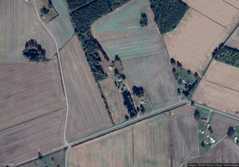
Map
Nearby Homes
- 950 Ambrose Rd
- 8703 Newland Rd
- 500 Weston Rd
- 1102 Mount Tabor Rd
- 2338 Old Cherry Rd
- 109 7th St
- 000 Scuppernong Rd
- 0 Magnolia Cross
- 1373 Tom Pepper Rd
- 1389 Tom Pepper Rd
- 47 Litchfield Rd
- 283 S Fork Creek Rd
- 2409 S Fork Creek Rd
- 0 Cooper Rd
- 702 Jones White Rd
- 191 Ferris Dr
- 283 S Fork Creek Rd
- 777 Arnolds Beach Rd
- 189 Summerfield Rd
- 467 Summerby Rd Unit Lot 1
- 2314 Ambrose Rd
- 2249 Ambrose Rd
- 2632 Ambrose Rd
- 2159 Ambrose Rd
- 2702 Ambrose Rd
- 2773 Ambrose Rd
- 2147 Ambrose Rd
- 2806 Ambrose Rd Unit 1149
- 2843 Ambrose Rd
- 2078 Ambrose Rd
- 2083 Ambrose Rd
- 687 White Rd
- 649 White Rd
- 2881 Ambrose Rd
- 2929 Ambrose Rd
- 2041 Ambrose Rd
- 1970 Ambrose Rd
- 2946 Ambrose Rd
- 471 White Rd
- 2956 Ambrose Rd