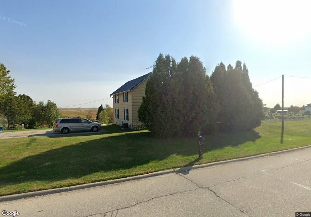
24388 Highway 128 Elkader, IA 52043
Estimated Value: $96,260 - $151,000
2
Beds
2
Baths
1,296
Sq Ft
$92/Sq Ft
Est. Value
About This Home
This home is located at 24388 Highway 128, Elkader, IA 52043 and is currently estimated at $118,815, approximately $91 per square foot. 24388 Highway 128 is a home located in Clayton County with nearby schools including Clayton Ridge Elementary School, Clayton Ridge Middle School, and Clayton Ridge High School.
Ownership History
Date
Name
Owned For
Owner Type
Purchase Details
Closed on
Sep 4, 2009
Sold by
Household Fin Industrial Loan Co Of Iow
Bought by
Cook Judith J
Current Estimated Value
Home Financials for this Owner
Home Financials are based on the most recent Mortgage that was taken out on this home.
Original Mortgage
$24,963
Outstanding Balance
$16,301
Interest Rate
5.32%
Mortgage Type
New Conventional
Estimated Equity
$102,514
Purchase Details
Closed on
Feb 3, 2009
Sold by
Wright Karen L
Bought by
Household Finance Industrial Loan Compan
Create a Home Valuation Report for This Property
The Home Valuation Report is an in-depth analysis detailing your home's value as well as a comparison with similar homes in the area
Home Values in the Area
Average Home Value in this Area
Purchase History
| Date | Buyer | Sale Price | Title Company |
|---|---|---|---|
| Cook Judith J | $32,000 | None Available | |
| Household Finance Industrial Loan Compan | -- | None Available |
Source: Public Records
Mortgage History
| Date | Status | Borrower | Loan Amount |
|---|---|---|---|
| Open | Cook Judith J | $24,963 |
Source: Public Records
Tax History Compared to Growth
Tax History
| Year | Tax Paid | Tax Assessment Tax Assessment Total Assessment is a certain percentage of the fair market value that is determined by local assessors to be the total taxable value of land and additions on the property. | Land | Improvement |
|---|---|---|---|---|
| 2025 | $132 | $62,871 | $18,044 | $44,827 |
| 2024 | $152 | $52,737 | $15,690 | $37,047 |
| 2023 | $86 | $52,737 | $15,690 | $37,047 |
| 2022 | $82 | $45,304 | $15,920 | $29,384 |
| 2021 | $84 | $45,304 | $15,920 | $29,384 |
| 2020 | $84 | $43,285 | $15,920 | $27,365 |
| 2019 | $82 | $43,285 | $15,920 | $27,365 |
| 2018 | $82 | $42,515 | $15,920 | $26,595 |
| 2017 | $84 | $42,515 | $15,920 | $26,595 |
| 2015 | $164 | $47,933 | $25,350 | $22,583 |
| 2014 | $82 | $40,263 | $18,810 | $21,453 |
Source: Public Records
Map
Nearby Homes
- 0 13 Hwy Unit NBR20255145
- 27455 Harbor Rd
- 249 Franzen Ridge Rd
- 0 E Bridge St
- 247 Franzen Ridge Rd
- 302 N 3rd St
- 306 S Monroe St
- 108 Adams Ct
- 117 S Main St
- 502 S Monroe St
- 702 N Main St
- 209 2nd St SW
- 301 N 1st St
- 707 N Main St
- 710 Woodland Dr NW
- 26642 Iowa 13
- 305 S Russell St
- 27766 Highway 13
- 0 Grandview Rd
- xxxx N Front St
- 24392 Highway 128
- 24392 Iowa 128
- 24284 Highway 128
- 24255 Highway 128
- 24207 Highway 128
- 24207 Highway 128
- 24250 Highway 128
- 24216 Highway 128
- 23452 Heron Ave
- 23452 Heron Ave
- 24208 Highway 128
- 24188 Highway 128
- 24121 230 St
- 24121 230th St
- 24071 230th St
- 24071 230th St
- 24085 Highway 128
- 24085 Highway 128
- 23520 Hickory Ave
- 23651 Hickory Ave