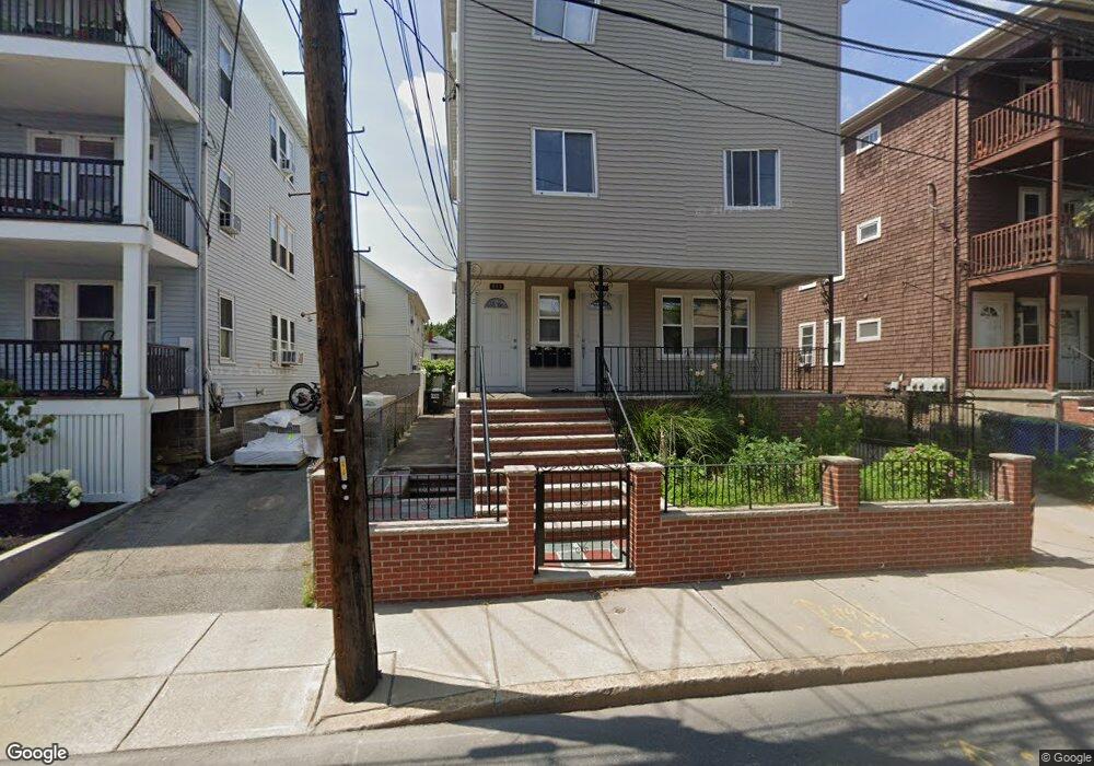
244 Cedar St Somerville, MA 02145
Ball Square NeighborhoodEstimated Value: $1,271,000 - $1,655,000
6
Beds
6
Baths
3,024
Sq Ft
$472/Sq Ft
Est. Value
About This Home
This home is located at 244 Cedar St, Somerville, MA 02145 and is currently estimated at $1,427,000, approximately $471 per square foot. 244 Cedar St is a home located in Middlesex County with nearby schools including Somerville High School, St. Clement Elementary School, and Saint Theresa School.
Ownership History
Date
Name
Owned For
Owner Type
Purchase Details
Closed on
Jul 18, 2016
Sold by
Machado Jose M and Machado Natalia T
Bought by
Machado Ft
Current Estimated Value
Create a Home Valuation Report for This Property
The Home Valuation Report is an in-depth analysis detailing your home's value as well as a comparison with similar homes in the area
Home Values in the Area
Average Home Value in this Area
Purchase History
| Date | Buyer | Sale Price | Title Company |
|---|---|---|---|
| Machado Ft | -- | -- |
Source: Public Records
Tax History
| Year | Tax Paid | Tax Assessment Tax Assessment Total Assessment is a certain percentage of the fair market value that is determined by local assessors to be the total taxable value of land and additions on the property. | Land | Improvement |
|---|---|---|---|---|
| 2025 | $15,289 | $1,401,400 | $529,100 | $872,300 |
| 2024 | $14,341 | $1,363,200 | $529,100 | $834,100 |
| 2023 | $13,997 | $1,353,700 | $529,100 | $824,600 |
| 2022 | $13,362 | $1,312,600 | $503,900 | $808,700 |
| 2021 | $13,045 | $1,280,200 | $500,200 | $780,000 |
| 2020 | $12,920 | $1,280,500 | $500,500 | $780,000 |
| 2019 | $12,269 | $1,140,200 | $455,700 | $684,500 |
| 2018 | $10,374 | $917,200 | $414,200 | $503,000 |
| 2017 | $10,134 | $868,400 | $390,800 | $477,600 |
| 2016 | $9,559 | $762,900 | $349,000 | $413,900 |
| 2015 | $8,882 | $704,400 | $322,300 | $382,100 |
Source: Public Records
Map
Nearby Homes
- 69 Boston Ave
- 13 Warwick St
- 288 Cedar St
- 167 Albion St
- 32 Richardson St
- 156 Albion St Unit 1
- 16 Rogers Ave
- 3 Vinal St
- 595 Broadway Unit 302
- 595 Broadway Unit 202
- 595 Broadway Unit 101
- 8 Albion Terrace
- 496 Medford St
- 474 Broadway Unit 26
- 227 Highland Ave Unit 2
- 227 Highland Ave Unit 3
- 227 Highland Ave Unit 1
- 49 Cherry St Unit 1
- 9 Norwood Ave
- 70 Albion St Unit 3
- 248 Cedar St
- 240 Cedar St
- 240 Cedar St Unit 2
- 252 Cedar St Unit 2
- 252 Cedar St Unit 1
- 252 Cedar St Unit B
- 252 Cedar St Unit 3
- 252 Cedar St
- 236 Cedar St
- 236 Cedar St Unit 3
- 234 Cedar St Unit 1
- 67 Boston Ave
- 65 Boston Ave
- 238 Cedar St Unit 1
- 63 Boston Ave Unit 63
- 63 Boston Ave Unit 1
- 63 Boston Ave
- 71 Boston Ave
- 235 Cedar St
- 239 Cedar St
Your Personal Tour Guide
Ask me questions while you tour the home.