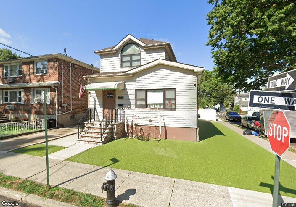
244 Demorest Ave Staten Island, NY 10314
Westerleigh NeighborhoodEstimated Value: $668,895 - $766,000
--
Bed
4
Baths
1,395
Sq Ft
$506/Sq Ft
Est. Value
About This Home
This home is located at 244 Demorest Ave, Staten Island, NY 10314 and is currently estimated at $705,474, approximately $505 per square foot. 244 Demorest Ave is a home located in Richmond County with nearby schools including P.S. 30 Westerleigh, I.S. 51 Edwin Markham, and Port Richmond High School.
Ownership History
Date
Name
Owned For
Owner Type
Purchase Details
Closed on
Oct 13, 2005
Sold by
Carozza Mark and Carozza Francis
Bought by
Olsen Raymond B and Olsen Colleen
Current Estimated Value
Home Financials for this Owner
Home Financials are based on the most recent Mortgage that was taken out on this home.
Original Mortgage
$250,000
Interest Rate
6.15%
Mortgage Type
Fannie Mae Freddie Mac
Create a Home Valuation Report for This Property
The Home Valuation Report is an in-depth analysis detailing your home's value as well as a comparison with similar homes in the area
Home Values in the Area
Average Home Value in this Area
Purchase History
| Date | Buyer | Sale Price | Title Company |
|---|---|---|---|
| Olsen Raymond B | $385,000 | None Available |
Source: Public Records
Mortgage History
| Date | Status | Borrower | Loan Amount |
|---|---|---|---|
| Previous Owner | Olsen Raymond B | $250,000 |
Source: Public Records
Tax History Compared to Growth
Tax History
| Year | Tax Paid | Tax Assessment Tax Assessment Total Assessment is a certain percentage of the fair market value that is determined by local assessors to be the total taxable value of land and additions on the property. | Land | Improvement |
|---|---|---|---|---|
| 2025 | $5,824 | $49,200 | $9,126 | $40,074 |
| 2024 | $6,105 | $46,140 | $9,328 | $36,812 |
| 2023 | $5,889 | $30,395 | $10,018 | $20,377 |
| 2022 | $5,612 | $34,920 | $14,160 | $20,760 |
| 2021 | $5,591 | $36,600 | $14,160 | $22,440 |
| 2020 | $3,376 | $32,700 | $14,160 | $18,540 |
| 2019 | $3,084 | $33,540 | $14,160 | $19,380 |
| 2018 | $4,866 | $25,329 | $10,732 | $14,597 |
| 2017 | $4,720 | $24,624 | $9,108 | $15,516 |
| 2016 | $4,356 | $23,341 | $11,128 | $12,213 |
| 2015 | $3,343 | $22,020 | $11,820 | $10,200 |
| 2014 | $3,343 | $19,008 | $11,522 | $7,486 |
Source: Public Records
Map
Nearby Homes
- 249 Dickie Ave
- 284 Bidwell Ave
- 204 Demorest Ave
- 251 Saint John Ave
- 290 Woolley Ave
- 279 Saint John Ave
- 292 Woolley Ave
- 127 Glascoe Ave
- 282 Willard Ave
- 202 Watchogue Rd
- 0 Willard Ave
- 366 Neal Dow Ave
- 307 Clinton B Fiske Ave
- 307 Fiske Ave
- 116 Bidwell Ave
- 63 Avon Ln
- 75 Muller Ave
- 26 Iowa Place
- 27 Frederick St
- 101 Delmore St
- 248 Demorest Ave
- 239 Bidwell Ave
- 252 Demorest Ave
- 224 Demorest Ave
- 247 Bidwell Ave
- 249 Bidwell Ave
- 225 Bidwell Ave
- 243 Demorest Ave
- 254 Demorest Ave
- 220 Demorest Ave
- 247 Demorest Ave
- 251 Demorest Ave
- 151 Leonard Ave
- 265 Bidwell Ave
- 221 Bidwell Ave
- 218 Demorest Ave
- 256 Demorest Ave
- 253 Demorest Ave
- 221 Demorest Ave
- 269 Bidwell Ave