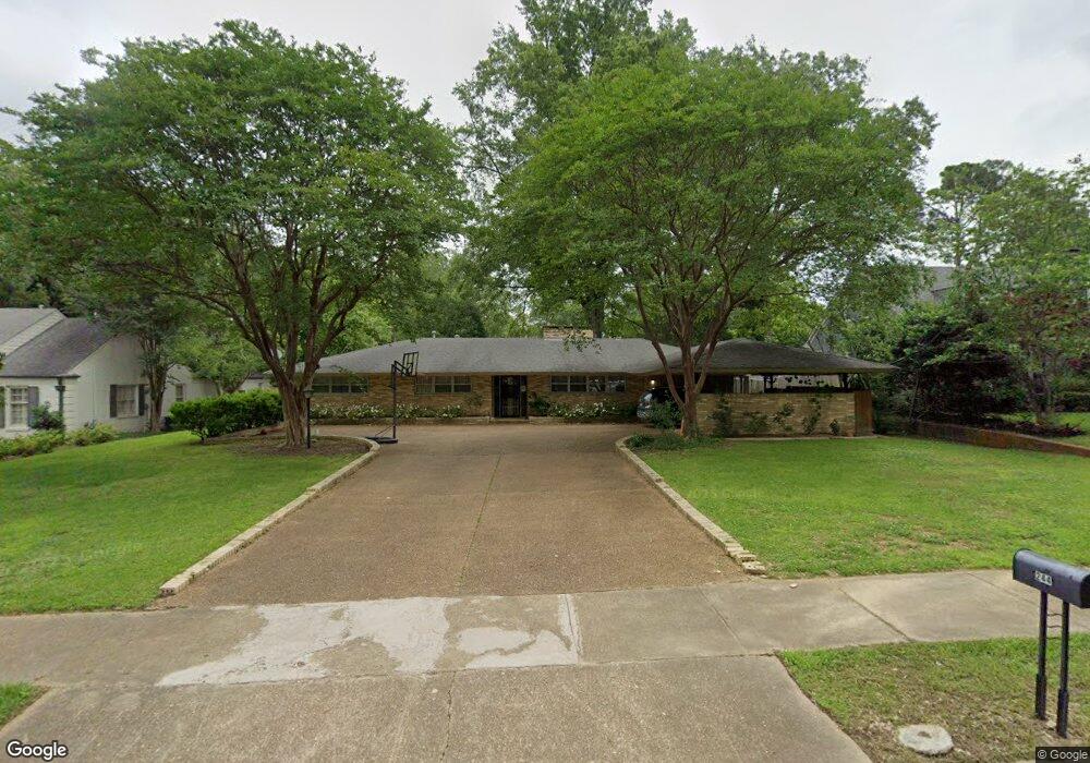
244 S Grove Park Rd Memphis, TN 38117
Audubon Park NeighborhoodEstimated Value: $352,000 - $529,000
3
Beds
2
Baths
2,106
Sq Ft
$200/Sq Ft
Est. Value
About This Home
This home is located at 244 S Grove Park Rd, Memphis, TN 38117 and is currently estimated at $422,217, approximately $200 per square foot. 244 S Grove Park Rd is a home located in Shelby County with nearby schools including White Station Elementary School, White Station High, and White Station Middle.
Ownership History
Date
Name
Owned For
Owner Type
Purchase Details
Closed on
Nov 22, 2021
Sold by
Henderson Roy T
Bought by
Henderosn Roy Thomas and Henderosn Carol D
Current Estimated Value
Purchase Details
Closed on
Apr 19, 2021
Sold by
Hicks Ann L and Mcewen Catherine L
Bought by
Henderson Roy T
Purchase Details
Closed on
Sep 6, 2012
Sold by
Henderson Roy T and Griesbeck Angie Henderson
Bought by
Hicks Ann L and Mcewen Catherine L
Create a Home Valuation Report for This Property
The Home Valuation Report is an in-depth analysis detailing your home's value as well as a comparison with similar homes in the area
Home Values in the Area
Average Home Value in this Area
Purchase History
| Date | Buyer | Sale Price | Title Company |
|---|---|---|---|
| Henderosn Roy Thomas | -- | None Available | |
| Henderson Roy T | $170,000 | Closetrak Llc | |
| Hicks Ann L | -- | None Available |
Source: Public Records
Tax History Compared to Growth
Tax History
| Year | Tax Paid | Tax Assessment Tax Assessment Total Assessment is a certain percentage of the fair market value that is determined by local assessors to be the total taxable value of land and additions on the property. | Land | Improvement |
|---|---|---|---|---|
| 2025 | $2,487 | $86,175 | $37,300 | $48,875 |
| 2024 | $2,487 | $73,375 | $36,350 | $37,025 |
| 2023 | $4,470 | $73,375 | $36,350 | $37,025 |
| 2022 | $4,470 | $73,375 | $36,350 | $37,025 |
| 2021 | $4,522 | $73,375 | $36,350 | $37,025 |
| 2020 | $4,962 | $68,475 | $36,350 | $32,125 |
| 2019 | $2,188 | $68,475 | $36,350 | $32,125 |
| 2018 | $2,188 | $68,475 | $36,350 | $32,125 |
| 2017 | $2,240 | $68,475 | $36,350 | $32,125 |
| 2016 | $2,513 | $57,500 | $0 | $0 |
| 2014 | $2,513 | $78,825 | $0 | $0 |
Source: Public Records
Map
Nearby Homes
- 271 Wakefield Dr
- 326 Cherry Cir E
- 196 E Cherry Cir
- 4563 Aldersgate Rd
- 427 S Perkins Rd Unit 427-2
- 154 Perkins Extension
- 4654 Hemlock Ln
- 137 Perkins Extension
- 4400 Poplar Ave Unit 45
- 4400 Poplar Ave Unit 48
- 4400 Poplar Ave Unit 25
- 194 S Perkins Rd
- 130 Greenbriar Dr
- 4359 W Cherry Place Dr
- 405 S Perkins Rd Unit 430
- 135 Cherry Rd
- 371 W Cherry Cir
- 378 Caraway Cove Unit 10A
- 4286 Poplar Ave
- 453 S Perkins Rd Unit 453-1
- 254 S Grove Park Rd
- 234 S Grove Park Rd
- 251 Wakefield Dr
- 264 S Grove Park Rd
- 241 Wakefield Dr
- 261 Wakefield Dr
- 226 S Grove Park Rd
- 251 S Grove Park Rd
- 241 S Grove Park Rd
- 261 S Grove Park Rd
- 231 Wakefield Dr
- 231 S Grove Park Rd
- 210 S Grove Park Rd
- 271 S Grove Park Rd
- 225 S Grove Park Rd
- 254 Wakefield Dr
- 284 S Grove Park Rd
- 238 Wakefield Dr
- 281 Wakefield Dr
- 279 S Grove Park Rd