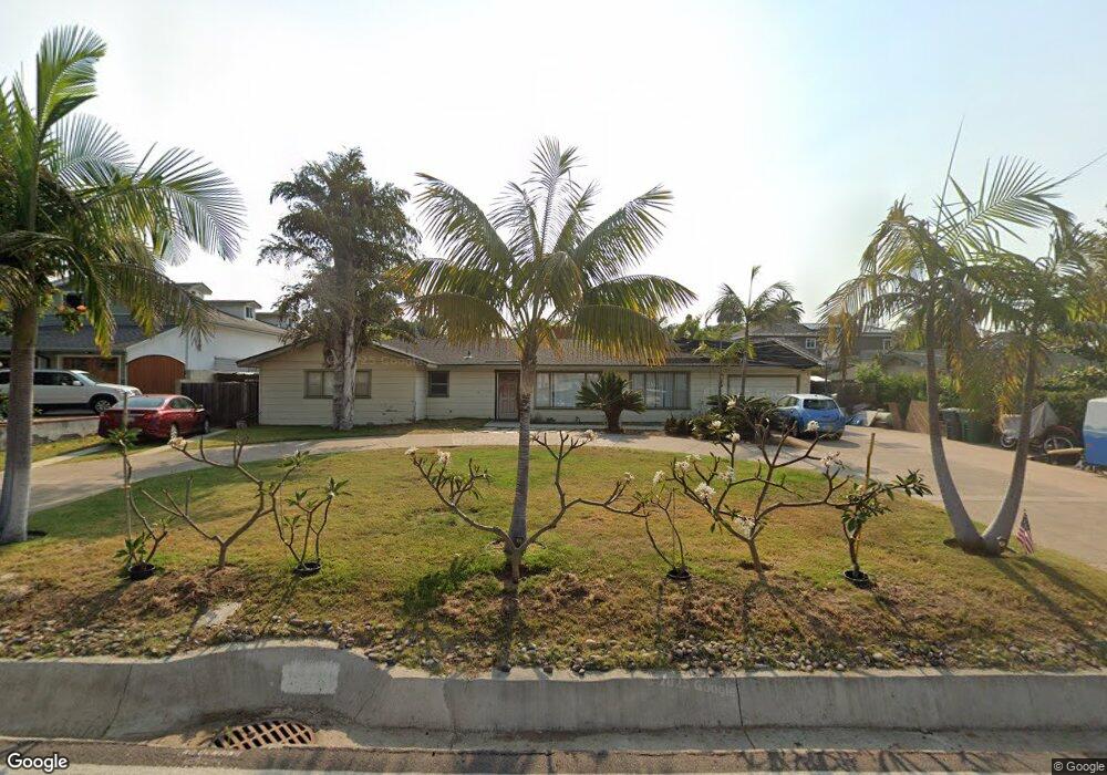
2440 Pio Pico Dr Carlsbad, CA 92008
Olde Carlsbad NeighborhoodEstimated Value: $1,411,000 - $1,675,000
4
Beds
2
Baths
1,695
Sq Ft
$877/Sq Ft
Est. Value
About This Home
This home is located at 2440 Pio Pico Dr, Carlsbad, CA 92008 and is currently estimated at $1,486,897, approximately $877 per square foot. 2440 Pio Pico Dr is a home located in San Diego County with nearby schools including Buena Vista Elementary, Carlsbad High School, and Sage Creek High.
Ownership History
Date
Name
Owned For
Owner Type
Purchase Details
Closed on
Nov 20, 2019
Sold by
Ingham Sandra Franklin and Ingham Sandra F
Bought by
Ingham Sandra Franklin and The Sandra Ingham Revocable Li
Current Estimated Value
Create a Home Valuation Report for This Property
The Home Valuation Report is an in-depth analysis detailing your home's value as well as a comparison with similar homes in the area
Home Values in the Area
Average Home Value in this Area
Purchase History
| Date | Buyer | Sale Price | Title Company |
|---|---|---|---|
| Ingham Sandra Franklin | -- | None Available |
Source: Public Records
Tax History Compared to Growth
Tax History
| Year | Tax Paid | Tax Assessment Tax Assessment Total Assessment is a certain percentage of the fair market value that is determined by local assessors to be the total taxable value of land and additions on the property. | Land | Improvement |
|---|---|---|---|---|
| 2025 | $3,070 | $292,814 | $156,171 | $136,643 |
| 2024 | $3,070 | $287,073 | $153,109 | $133,964 |
| 2023 | $3,052 | $281,445 | $150,107 | $131,338 |
| 2022 | $3,004 | $275,927 | $147,164 | $128,763 |
| 2021 | $2,980 | $270,518 | $144,279 | $126,239 |
| 2020 | $2,960 | $267,745 | $142,800 | $124,945 |
| 2019 | $2,906 | $262,496 | $140,000 | $122,496 |
| 2018 | $2,785 | $257,350 | $137,255 | $120,095 |
| 2017 | $90 | $252,305 | $134,564 | $117,741 |
| 2016 | $2,628 | $247,359 | $131,926 | $115,433 |
| 2015 | $2,616 | $243,645 | $129,945 | $113,700 |
| 2014 | $2,573 | $238,873 | $127,400 | $111,473 |
Source: Public Records
Map
Nearby Homes
- 1280 Forest Ave
- 2435 Tuttle St
- 1080 Buena Place
- 1107 Las Flores Dr
- 2475 Jefferson St Unit 103
- 2525 Jefferson St Unit K
- 2525 Jefferson St Unit B
- 2535 Jefferson St Unit 10
- 2910 Highland Dr
- 1010 Grand Ave
- 774 Laguna Dr
- 800 Grand Ave Unit 105
- 2664 Roosevelt St
- 2672 Roosevelt St
- 2670 Roosevelt St
- 2062 Avenue of The Trees
- 543 Laguna Dr Unit 3
- 725 Grand Ave
- 2829 Forest View Way
- 2732 Forest Park Ln
- 2450 Pio Pico Dr
- 1318 Chuparosa Way
- 2420 Pio Pico Dr
- 1314 Chuparosa Way
- 2445 Pio Pico Dr
- 1265 Forest Ave
- 2480 Pio Pico Dr
- 1320 Chuparosa Way
- 1310 Chuparosa Way
- 1290 Las Flores Dr
- 2435 Pio Pico Dr
- 1277 Forest Ave
- 2441 Pio Pico Dr
- 1289 Forest Ave
- 1278 Las Flores Dr Unit 82
- 2401 Pio Pico Dr
- 1289 Fores 1289 Forest Ave
- 1289 Fores 1289 Forest Ave
- 2340 Moana Place
- 2392 Pio Pico Dr