2441 Highway 65 Unit A Sheffield, IA 50475
Estimated Value: $292,000 - $523,166
5
Beds
4
Baths
2,077
Sq Ft
$186/Sq Ft
Est. Value
About This Home
This home is located at 2441 Highway 65 Unit A, Sheffield, IA 50475 and is currently estimated at $386,042, approximately $185 per square foot. 2441 Highway 65 Unit A is a home located in Franklin County with nearby schools including West Fork High School.
Ownership History
Date
Name
Owned For
Owner Type
Purchase Details
Closed on
Oct 24, 2021
Sold by
Sheppard Shelley R and Sheppard Stephen L
Bought by
Timm Robert M and Timm Jorja K
Current Estimated Value
Home Financials for this Owner
Home Financials are based on the most recent Mortgage that was taken out on this home.
Original Mortgage
$324,800
Outstanding Balance
$296,187
Interest Rate
2.8%
Mortgage Type
New Conventional
Estimated Equity
$89,855
Create a Home Valuation Report for This Property
The Home Valuation Report is an in-depth analysis detailing your home's value as well as a comparison with similar homes in the area
Home Values in the Area
Average Home Value in this Area
Purchase History
| Date | Buyer | Sale Price | Title Company |
|---|---|---|---|
| Timm Robert M | $406,000 | Laird Law Firm Plc |
Source: Public Records
Mortgage History
| Date | Status | Borrower | Loan Amount |
|---|---|---|---|
| Open | Timm Robert M | $324,800 |
Source: Public Records
Tax History Compared to Growth
Tax History
| Year | Tax Paid | Tax Assessment Tax Assessment Total Assessment is a certain percentage of the fair market value that is determined by local assessors to be the total taxable value of land and additions on the property. | Land | Improvement |
|---|---|---|---|---|
| 2025 | $6,978 | $440,300 | $26,700 | $413,600 |
| 2024 | $6,978 | $409,200 | $26,700 | $382,500 |
| 2023 | $7,476 | $409,200 | $26,700 | $382,500 |
| 2022 | $6,274 | $389,400 | $26,700 | $362,700 |
| 2021 | $6,274 | $313,100 | $26,700 | $286,400 |
| 2020 | $6,552 | $301,100 | $26,700 | $274,400 |
| 2019 | $5,634 | $307,000 | $0 | $0 |
| 2018 | $5,430 | $307,000 | $0 | $0 |
| 2017 | $5,430 | $288,400 | $0 | $0 |
| 2016 | $5,210 | $288,400 | $0 | $0 |
| 2015 | $5,210 | $294,000 | $0 | $0 |
| 2014 | $5,318 | $294,000 | $0 | $0 |
Source: Public Records
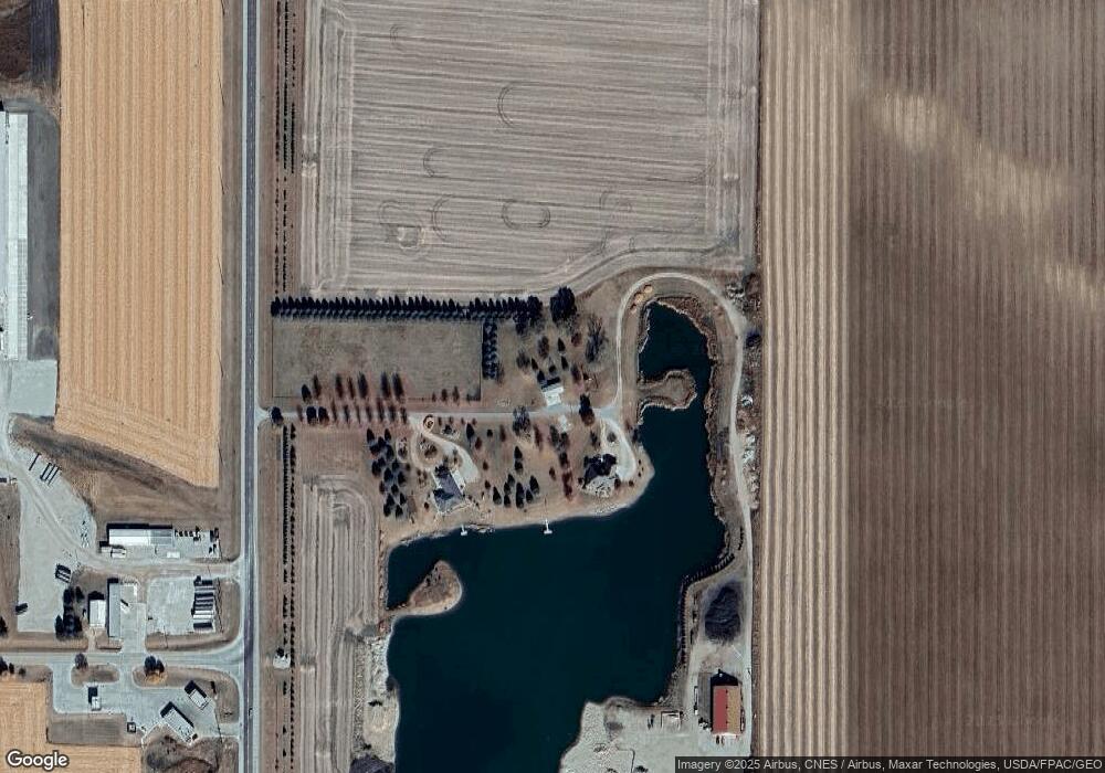
Map
Nearby Homes
- 222 Thompson St
- 421 Sherman St
- 601 Gilman St
- 119 N 6th St
- 319 N 6th St
- 608 Sherman St
- 319 S Lincoln St
- 202 Brickyard Ct
- 200 Brickyard Ct
- 206 Brickyard Ct
- 411 Brickyard Rd
- 415 Brickyard Rd
- 423 Brickyard Rd
- 427 Brickyard Rd
- 429 Brickyard Rd
- 422 Brickyard Rd
- 420 Brickyard Rd
- 418 Brickyard Rd
- 416 Brickyard Rd
- 414 Brickyard Rd
- 2441 Highway 65
- 699 E Gilman St
- 2395 Highway 65 Hwy
- 100 Bennett Dr
- 1555 255th St
- 110 Oakwood Dr Unit 12
- 114 Oakwood Dr Unit 16
- 107 Oakwood Dr
- 109 Oakwood Dr Unit 11
- 113 Oakwood Dr Unit 15
- 108 W Crescent Dr
- 112 W Crescent Dr
- 106 W Crescent Dr
- 114 W Crescent Dr
- 110 W Crescent Dr
- 104 W Crescent Dr
- 102 W Crescent Dr
- 306 E Gilman St
- 116 W Crescent Dr
- 107 W Crescent Dr