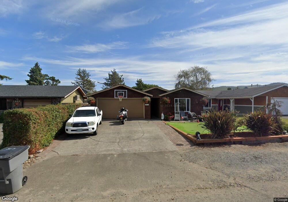
2441 Pine St Seaside, OR 97138
Estimated Value: $426,000 - $464,000
3
Beds
1
Bath
1,344
Sq Ft
$337/Sq Ft
Est. Value
About This Home
This home is located at 2441 Pine St, Seaside, OR 97138 and is currently estimated at $452,631, approximately $336 per square foot. 2441 Pine St is a home located in Clatsop County with nearby schools including Seaside High School.
Ownership History
Date
Name
Owned For
Owner Type
Purchase Details
Closed on
Dec 29, 2016
Sold by
Nofield Cindy J
Bought by
Nofield Richard T
Current Estimated Value
Home Financials for this Owner
Home Financials are based on the most recent Mortgage that was taken out on this home.
Original Mortgage
$184,000
Interest Rate
3.94%
Mortgage Type
New Conventional
Purchase Details
Closed on
Aug 5, 2005
Sold by
Shuler Cindy J and Nofield Cindy J
Bought by
Nofield Richard T and Nofield Cindy J
Home Financials for this Owner
Home Financials are based on the most recent Mortgage that was taken out on this home.
Original Mortgage
$148,000
Interest Rate
5.48%
Mortgage Type
New Conventional
Create a Home Valuation Report for This Property
The Home Valuation Report is an in-depth analysis detailing your home's value as well as a comparison with similar homes in the area
Home Values in the Area
Average Home Value in this Area
Purchase History
| Date | Buyer | Sale Price | Title Company |
|---|---|---|---|
| Nofield Richard T | -- | Ticor Title Company Of Or | |
| Nofield Richard T | -- | Ticor Title Ins Co |
Source: Public Records
Mortgage History
| Date | Status | Borrower | Loan Amount |
|---|---|---|---|
| Closed | Nofield Richard T | $184,000 | |
| Closed | Nofield Richard T | $148,000 |
Source: Public Records
Tax History Compared to Growth
Tax History
| Year | Tax Paid | Tax Assessment Tax Assessment Total Assessment is a certain percentage of the fair market value that is determined by local assessors to be the total taxable value of land and additions on the property. | Land | Improvement |
|---|---|---|---|---|
| 2024 | $2,909 | $202,525 | -- | -- |
| 2023 | $2,823 | $196,627 | $0 | $0 |
| 2022 | $2,746 | $190,901 | $0 | $0 |
| 2021 | $2,688 | $185,342 | $0 | $0 |
| 2020 | $2,625 | $179,944 | $0 | $0 |
| 2019 | $2,554 | $174,703 | $0 | $0 |
| 2018 | $2,452 | $169,615 | $0 | $0 |
| 2017 | $2,340 | $164,676 | $0 | $0 |
| 2016 | $2,059 | $159,881 | $46,859 | $113,022 |
| 2015 | $2,005 | $155,226 | $45,495 | $109,731 |
| 2014 | $1,999 | $150,705 | $0 | $0 |
| 2013 | -- | $146,317 | $0 | $0 |
Source: Public Records
Map
Nearby Homes
- 2469 Pine St
- 802 25th Ave
- 000 Neawanna St
- 623 Indian Way
- 2549 Neawanna St
- 2624 Neawanna St
- 2657 Highway 101 N Unit 42
- 814 17th Ave
- 924 Little Beach Dr
- 782 Woodland Ct
- 0 N Wahanna Rd
- 0 Vacant Land Unit 159249124
- 821 13th Ave
- 0 Wellington Ave Unit 25-48
- 0 Wellington Ave Unit 1202
- 1265 D St
- 717 12th Ave
- 337 16th Ave
- 310 15th Ave
- 739 11th Ave