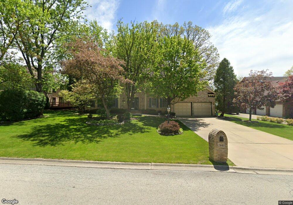
2441 Saint Andrews Dr Olympia Fields, IL 60461
Estimated Value: $453,000 - $521,000
4
Beds
3
Baths
3,800
Sq Ft
$128/Sq Ft
Est. Value
About This Home
This home is located at 2441 Saint Andrews Dr, Olympia Fields, IL 60461 and is currently estimated at $485,864, approximately $127 per square foot. 2441 Saint Andrews Dr is a home located in Cook County with nearby schools including Western Avenue Elementary School, Parker Junior High School, and Infant Jesus of Prague School.
Ownership History
Date
Name
Owned For
Owner Type
Purchase Details
Closed on
Jul 20, 1994
Sold by
Donald Myrtis and Sullivan Donald Myrtis
Bought by
Donald Willie L
Current Estimated Value
Home Financials for this Owner
Home Financials are based on the most recent Mortgage that was taken out on this home.
Original Mortgage
$335,200
Interest Rate
8.37%
Create a Home Valuation Report for This Property
The Home Valuation Report is an in-depth analysis detailing your home's value as well as a comparison with similar homes in the area
Home Values in the Area
Average Home Value in this Area
Purchase History
| Date | Buyer | Sale Price | Title Company |
|---|---|---|---|
| Donald Willie L | -- | -- |
Source: Public Records
Mortgage History
| Date | Status | Borrower | Loan Amount |
|---|---|---|---|
| Closed | Donald Willie L | $335,200 |
Source: Public Records
Tax History Compared to Growth
Tax History
| Year | Tax Paid | Tax Assessment Tax Assessment Total Assessment is a certain percentage of the fair market value that is determined by local assessors to be the total taxable value of land and additions on the property. | Land | Improvement |
|---|---|---|---|---|
| 2024 | $15,318 | $37,000 | $9,000 | $28,000 |
| 2023 | $15,315 | $37,000 | $9,000 | $28,000 |
| 2022 | $15,315 | $28,657 | $7,875 | $20,782 |
| 2021 | $15,341 | $28,656 | $7,875 | $20,781 |
| 2020 | $14,124 | $28,656 | $7,875 | $20,781 |
| 2019 | $16,076 | $31,804 | $7,125 | $24,679 |
| 2018 | $15,641 | $31,804 | $7,125 | $24,679 |
| 2017 | $12,355 | $31,804 | $7,125 | $24,679 |
| 2016 | $15,194 | $33,729 | $6,375 | $27,354 |
| 2015 | $15,124 | $33,729 | $6,375 | $27,354 |
| 2014 | $14,773 | $33,729 | $6,375 | $27,354 |
| 2013 | $14,945 | $37,076 | $6,375 | $30,701 |
Source: Public Records
Map
Nearby Homes
- 2450 Saint Andrews Dr
- 20194 Augusta Dr
- 634 Lexington Dr
- 20015 Delphi Dr
- 2904 Athena Ct
- 2908 Athena Ct
- 531 W Winchester Rd
- 2716 Chariot Ln
- 213 Cove Dr
- 2700 Chariot Ln
- 540 W Winchester Rd
- 823 Bradoc St
- 523 8th St
- 1833 Pheasant Ct
- 419 Longwood Dr
- 1430 Brassie Ave
- 2937 Kathleen Ln
- 20313 Kedzie Ave
- 1418 Western Ave
- 353 202nd St
- 2451 Saint Andrews Dr
- 20184 Augusta Dr
- 2440 Saint Andrews Dr
- 20201 Saint Andrews Ct
- 2460 Saint Andrews Dr
- 20204 Augusta Dr
- 2430 Saint Andrews Dr
- 20185 Augusta Dr
- 2471 Saint Andrews Dr
- 20190 Saint Andrews Ct
- 20095 Inverness Ct
- 20085 Inverness Ct
- 2421 Saint Andrews Dr
- 20211 Saint Andrews Ct
- 20214 Augusta Dr
- 20075 Inverness Ct
- 2411 Saint Andrews Dr
- 20205 Augusta Dr
- 20065 Inverness Ct
- 2511 Saint Andrews Dr