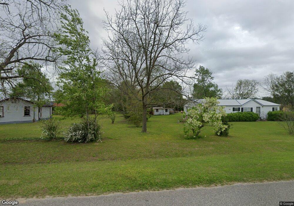
2442 Spence Rd Pelham, GA 31779
Estimated Value: $69,000 - $131,000
2
Beds
1
Bath
1,104
Sq Ft
$81/Sq Ft
Est. Value
About This Home
This home is located at 2442 Spence Rd, Pelham, GA 31779 and is currently estimated at $89,936, approximately $81 per square foot. 2442 Spence Rd is a home located in Grady County.
Ownership History
Date
Name
Owned For
Owner Type
Purchase Details
Closed on
Mar 17, 2021
Sold by
Crestview Realty Llc
Bought by
Barrett Janice
Current Estimated Value
Home Financials for this Owner
Home Financials are based on the most recent Mortgage that was taken out on this home.
Original Mortgage
$50,000
Outstanding Balance
$37,134
Interest Rate
2.8%
Mortgage Type
New Conventional
Estimated Equity
$52,802
Purchase Details
Closed on
Mar 7, 2008
Sold by
Bentley Fam Lp
Bought by
Brivis Enterprise Llc
Purchase Details
Closed on
Jan 26, 1982
Sold by
Bentley Bessie Kate
Bought by
Bentley Family Limited
Purchase Details
Closed on
May 26, 1967
Bought by
Bentley Family Part
Create a Home Valuation Report for This Property
The Home Valuation Report is an in-depth analysis detailing your home's value as well as a comparison with similar homes in the area
Home Values in the Area
Average Home Value in this Area
Purchase History
| Date | Buyer | Sale Price | Title Company |
|---|---|---|---|
| Barrett Janice | $50,000 | -- | |
| Brivis Enterprise Llc | $10,000 | -- | |
| Bentley Family Limited | -- | -- | |
| Bentley Family Part | -- | -- |
Source: Public Records
Mortgage History
| Date | Status | Borrower | Loan Amount |
|---|---|---|---|
| Open | Barrett Janice | $50,000 |
Source: Public Records
Tax History Compared to Growth
Tax History
| Year | Tax Paid | Tax Assessment Tax Assessment Total Assessment is a certain percentage of the fair market value that is determined by local assessors to be the total taxable value of land and additions on the property. | Land | Improvement |
|---|---|---|---|---|
| 2024 | $717 | $23,296 | $2,502 | $20,794 |
| 2023 | $399 | $12,971 | $3,147 | $9,824 |
| 2022 | $399 | $12,971 | $3,147 | $9,824 |
| 2021 | $401 | $12,971 | $3,147 | $9,824 |
| 2020 | $402 | $12,971 | $3,147 | $9,824 |
| 2019 | $402 | $12,971 | $3,147 | $9,824 |
| 2018 | $377 | $12,971 | $3,147 | $9,824 |
| 2017 | $359 | $12,971 | $3,147 | $9,824 |
| 2016 | $324 | $11,627 | $3,147 | $8,480 |
| 2015 | -- | $11,627 | $3,147 | $8,480 |
| 2014 | $320 | $11,627 | $3,147 | $8,480 |
| 2013 | -- | $14,934 | $6,854 | $8,080 |
Source: Public Records
Map
Nearby Homes
- 835 Mill Pond Rd
- 387 Lakeshore Rd
- 0 Old Ga Highway 3
- 443 Stewart St SW
- 425 Hollis St SW
- 389 Stewart St SW
- 410 Hollis St SW
- 5854 Mount Olive Rd
- 3** Youngs Mill Rd
- 277 Saunders St SW
- 135 Baggs Ave SE
- 183 Baggs Ave SE
- 1197 U S 19
- 1181 U S 19
- 209 McDonald St SW
- 375 Baggs Ave SE
- 212 Hand Ave W
- 00 Laverne Ln
- 354 Bennett St NW
- 199 Carroll St NE
- 3030 Spence Rd
- 3041 Spence Rd
- 00 County Line Rd
- 0 Old Thomasville Rd
- 3068 Spence Rd
- 3108 Spence Rd
- 00 Mill Pond Rd
- 2316 Spence Rd
- 3162 Spence Rd
- 3840 Drew Ln
- 3172 Spence Rd
- 3863 County Line Rd E
- 3186 Spence Rd
- 3199 Spence Rd
- 3808 Drew Ln
- 3206 Spence Rd
- 2211 Old Newton Rd
- 1035 Mill Pond Rd
- 994 Mill Pond Rd
- 2498 County Line Rd E Unit L2