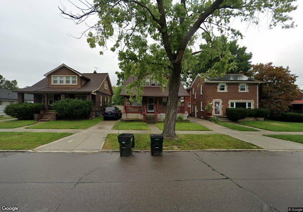
2443 E Outer Dr Unit Bldg-Unit Detroit, MI 48234
Farwell NeighborhoodEstimated Value: $79,000 - $86,000
Studio
2
Baths
1,414
Sq Ft
$59/Sq Ft
Est. Value
About This Home
This home is located at 2443 E Outer Dr Unit Bldg-Unit, Detroit, MI 48234 and is currently estimated at $83,563, approximately $59 per square foot. 2443 E Outer Dr Unit Bldg-Unit is a home located in Wayne County with nearby schools including Mason Academy, Edward 'Duke' Ellington Conservatory of Music and Art, and Charles L. Spain Elementary-Middle School.
Ownership History
Date
Name
Owned For
Owner Type
Purchase Details
Closed on
May 16, 2022
Sold by
Kerry Grushoff
Bought by
Lone Rock Owner I Llc
Current Estimated Value
Purchase Details
Closed on
Jul 6, 2017
Sold by
Jones Micah and Brown Jenina
Bought by
Ziv Llc
Purchase Details
Closed on
May 2, 2013
Sold by
Graham Robert D
Bought by
Brown Jenina and Jones Micah
Purchase Details
Closed on
Jan 5, 2005
Sold by
Vollmer Lisa D and Bartnicki Eleanor
Bought by
Graham Robert D
Create a Home Valuation Report for This Property
The Home Valuation Report is an in-depth analysis detailing your home's value as well as a comparison with similar homes in the area
Home Values in the Area
Average Home Value in this Area
Purchase History
| Date | Buyer | Sale Price | Title Company |
|---|---|---|---|
| Lone Rock Owner I Llc | $70,000 | New Title Company Name | |
| Ziv Llc | $40,000 | None Available | |
| Brown Jenina | $6,357 | Title Connect Llc | |
| Graham Robert D | $56,000 | None Available |
Source: Public Records
Tax History
| Year | Tax Paid | Tax Assessment Tax Assessment Total Assessment is a certain percentage of the fair market value that is determined by local assessors to be the total taxable value of land and additions on the property. | Land | Improvement |
|---|---|---|---|---|
| 2025 | $2,349 | $29,900 | $0 | $0 |
| 2024 | $2,322 | $32,700 | $0 | $0 |
| 2023 | $2,257 | $26,200 | $0 | $0 |
| 2022 | $1,042 | $17,700 | $0 | $0 |
| 2021 | $1,016 | $14,200 | $0 | $0 |
| 2020 | $1,016 | $12,300 | $0 | $0 |
| 2019 | $1,001 | $9,800 | $0 | $0 |
| 2018 | $887 | $8,400 | $0 | $0 |
| 2017 | $142 | $7,500 | $0 | $0 |
| 2016 | $1,058 | $21,300 | $0 | $0 |
| 2015 | $1,080 | $10,800 | $0 | $0 |
| 2013 | $1,354 | $13,542 | $0 | $0 |
| 2010 | -- | $19,855 | $1,312 | $18,543 |
Source: Public Records
Map
Nearby Homes
- 2480 E Outer Dr
- 19951 Sunset St
- 19718 Dean St
- 19700 Binder St
- 19690 Wexford St
- 19444 Ryan Rd
- 19665 Justine St
- 20120 Norwood St
- 20161 Yonka St
- 19360 Ryan Rd
- 19619 Norwood St
- 19632 Eureka St
- 19327 Sunset St
- 19392 Justine St
- 20426 Wexford St
- 20409 Yonka St
- 19694 Gallagher St
- 19255 Binder St
- 19227 Ryan Rd
- 19219 Dean St
- 2443 E Outer Dr
- 2451 E Outer Dr
- 2435 E Outer Dr
- 2459 E Outer Dr
- 2423 E Outer Dr
- 19919 Dean St
- 19918 Ryan Rd
- 19925 Dean St
- 19926 Ryan Rd
- 19929 Dean St
- 19930 Ryan Rd
- 2481 E Outer Dr
- 19935 Dean St
- 19918 Dean St
- 19939 Dean St Unit Bldg-Unit
- 19939 Dean St
- 19939 Dean Ave
- 19747 Dean St
- 19940 Ryan Rd
- 2434 E Outer Dr
Your Personal Tour Guide
Ask me questions while you tour the home.