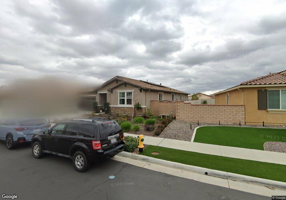
24433 Division Dr Menifee, CA 92584
Audie Murphy Ranch NeighborhoodEstimated Value: $618,551 - $682,000
3
Beds
3
Baths
2,284
Sq Ft
$283/Sq Ft
Est. Value
About This Home
This home is located at 24433 Division Dr, Menifee, CA 92584 and is currently estimated at $645,888, approximately $282 per square foot. 24433 Division Dr is a home with nearby schools including Taawila Elementary School, Hans Christensen Middle School, and Pinacate Middle School.
Ownership History
Date
Name
Owned For
Owner Type
Purchase Details
Closed on
Jun 7, 2021
Sold by
Thompson Timothy Frank and Thompson Mary Elizabeth
Bought by
Thompson Timothy Frank and Thompson Mary Elizabeth
Current Estimated Value
Purchase Details
Closed on
Aug 7, 2019
Sold by
Richmond American Homes Of Maryland Inc
Bought by
Thompson Timothy Frank and Thompson Mary Elizabeth
Home Financials for this Owner
Home Financials are based on the most recent Mortgage that was taken out on this home.
Original Mortgage
$409,377
Interest Rate
3.7%
Mortgage Type
New Conventional
Create a Home Valuation Report for This Property
The Home Valuation Report is an in-depth analysis detailing your home's value as well as a comparison with similar homes in the area
Home Values in the Area
Average Home Value in this Area
Purchase History
| Date | Buyer | Sale Price | Title Company |
|---|---|---|---|
| Thompson Timothy Frank | -- | None Available | |
| Thompson Timothy Frank | $455,000 | Fntg Builder Services |
Source: Public Records
Mortgage History
| Date | Status | Borrower | Loan Amount |
|---|---|---|---|
| Previous Owner | Thompson Timothy Frank | $409,377 |
Source: Public Records
Tax History
| Year | Tax Paid | Tax Assessment Tax Assessment Total Assessment is a certain percentage of the fair market value that is determined by local assessors to be the total taxable value of land and additions on the property. | Land | Improvement |
|---|---|---|---|---|
| 2025 | $9,262 | $497,453 | $82,019 | $415,434 |
| 2023 | $9,262 | $478,138 | $78,835 | $399,303 |
| 2022 | $9,031 | $468,764 | $77,290 | $391,474 |
| 2021 | $8,916 | $459,574 | $75,775 | $383,799 |
| 2020 | $8,755 | $454,863 | $74,999 | $379,864 |
| 2019 | $1,515 | $128,292 | $128,292 | $0 |
Source: Public Records
Map
Nearby Homes
- 29807 Saddle Ranch Place
- 29819 Saddle Ranch Place
- 24524 Division Dr
- 24334 Fair Oaks Ct
- 24605 Hero Cir
- 29710 Western Front Dr
- 24456 Reserve Ct
- 24406 Montgomery Way
- 29981 Western Front Dr
- 24802 Sandy Trail Place
- 24668 Legion Ct
- 84 Goetz Rd
- 30097 Big Country Dr
- 29543 Laredo Cir
- 30082 Stargazer Way
- 29355 Santa Ynez Cir
- 30079 Stargazer Way
- 29458 Laredo Cir
- 30210 Old Corral Cir
- 23930 Beverly Dr
- 24445 Division Dr
- 24411 Division Dr
- 24457 Division Dr
- 24399 Division Dr
- 24380 Division Dr
- 24432 Sabaton Cir
- 24444 Sabaton Cir
- 24416 Division Dr
- 24469 Division Dr
- 24420 Sabaton Cir
- 24456 Sabaton Cir
- 24428 Division Dr
- 24440 Division Dr
- 24387 Division Dr
- 24404 Division Dr
- 24452 Division Dr
- 24468 Sabaton Cir
- 24464 Division Dr
- 24481 Division Dr
- 24504 Sabaton Cir
Your Personal Tour Guide
Ask me questions while you tour the home.