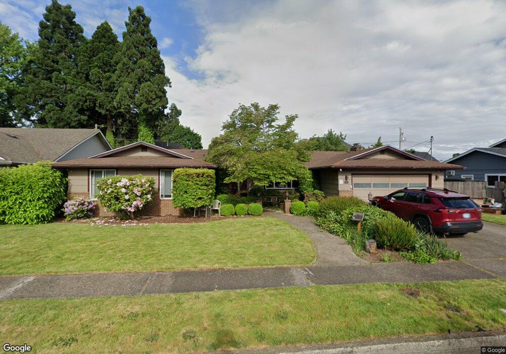
2444 Dalton Dr Eugene, OR 97404
Santa Clara NeighborhoodEstimated Value: $486,000 - $536,000
4
Beds
3
Baths
2,019
Sq Ft
$257/Sq Ft
Est. Value
About This Home
This home is located at 2444 Dalton Dr, Eugene, OR 97404 and is currently estimated at $519,273, approximately $257 per square foot. 2444 Dalton Dr is a home located in Lane County with nearby schools including Spring Creek Elementary School, Madison Middle School, and North Eugene High School.
Ownership History
Date
Name
Owned For
Owner Type
Purchase Details
Closed on
May 23, 2022
Sold by
Lynn Kirkpatrick-Bair Nancy
Bought by
Kirpatrick-Bair Nancy Lynn and Kirkpatrick Bonnie Gae
Current Estimated Value
Home Financials for this Owner
Home Financials are based on the most recent Mortgage that was taken out on this home.
Original Mortgage
$287,500
Outstanding Balance
$271,538
Interest Rate
5.25%
Mortgage Type
New Conventional
Estimated Equity
$247,735
Purchase Details
Closed on
Aug 10, 2011
Sold by
Karnowsky William Neil
Bought by
Bair Francis C and Bair Nancy L
Home Financials for this Owner
Home Financials are based on the most recent Mortgage that was taken out on this home.
Original Mortgage
$177,925
Interest Rate
4.46%
Mortgage Type
Purchase Money Mortgage
Purchase Details
Closed on
Apr 6, 2006
Sold by
Karnowsky William Neil
Bought by
Karnowsky William Neil and William Neil Karnowsky Living Trust
Create a Home Valuation Report for This Property
The Home Valuation Report is an in-depth analysis detailing your home's value as well as a comparison with similar homes in the area
Home Values in the Area
Average Home Value in this Area
Purchase History
| Date | Buyer | Sale Price | Title Company |
|---|---|---|---|
| Kirpatrick-Bair Nancy Lynn | -- | Western Title | |
| Kirkpatrick-Bair Nancy Lynn | $100,000 | Western Title | |
| Bair Francis C | $177,925 | First American Title | |
| Karnowsky William Neil | -- | None Available |
Source: Public Records
Mortgage History
| Date | Status | Borrower | Loan Amount |
|---|---|---|---|
| Open | Kirkpatrick-Bair Nancy Lynn | $287,500 | |
| Previous Owner | Bair Francis C | $177,925 |
Source: Public Records
Tax History
| Year | Tax Paid | Tax Assessment Tax Assessment Total Assessment is a certain percentage of the fair market value that is determined by local assessors to be the total taxable value of land and additions on the property. | Land | Improvement |
|---|---|---|---|---|
| 2025 | $4,446 | $347,428 | -- | -- |
| 2024 | $4,424 | $337,309 | -- | -- |
| 2023 | $4,424 | $327,485 | $0 | $0 |
| 2022 | $4,158 | $317,947 | $0 | $0 |
| 2021 | $3,812 | $308,687 | $0 | $0 |
| 2020 | $3,718 | $299,697 | $0 | $0 |
| 2019 | $3,537 | $290,968 | $0 | $0 |
| 2018 | $3,218 | $274,266 | $0 | $0 |
| 2017 | $2,965 | $274,266 | $0 | $0 |
| 2016 | $2,834 | $266,278 | $0 | $0 |
| 2015 | $2,736 | $258,522 | $0 | $0 |
| 2014 | $2,574 | $250,992 | $0 | $0 |
Source: Public Records
Map
Nearby Homes
- 303 Lenore Loop
- 2439 Quince St
- 401 Sterling Dr
- 193 Santa Clara Ave
- 215 Jonquil Ave
- 200 Irving Rd
- 541 Durham Ave
- 349 Irving Rd
- 2563 York St
- 1880 Manihi Dr
- 2721 La Darrah St
- 190 Hunsaker Ln
- 2640 Green Villa Ln
- 1755 Brentwood Ave
- 389 Maxwell Rd
- 805 Impala Ave
- 425 Autumn Ave
- 1682 Hemlock St
- 190 River Loop 1
- 463 Salty Way
- 2430 Dalton Dr
- 2460 Dalton Dr
- 2437 Lenore Dr
- 2425 Lenore Dr
- 2457 Lenore Dr
- 2411 Lenore Dr
- 2465 Lenore Dr
- 2412 Dalton Dr
- 2476 Dalton Dr
- 2457 Dalton Dr
- 2425 Dalton Dr
- 2403 Lenore Dr
- 2479 Lenore Dr
- 0 Lenore Dr
- 2473 Dalton Dr
- 2409 Dalton Dr
- 2438 Quince St
- 2492 Dalton Dr
- 2456 Quince St
- 312 Santa Clara Ave
Your Personal Tour Guide
Ask me questions while you tour the home.