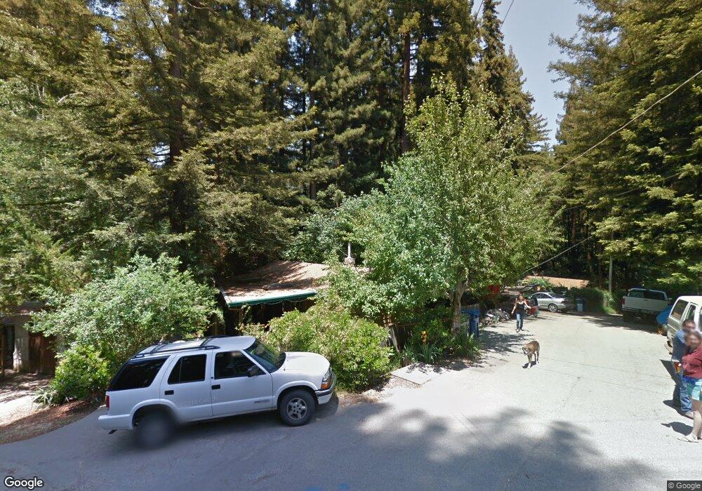
245 Brookside Dr Boulder Creek, CA 95006
Estimated Value: $586,000 - $668,000
3
Beds
1
Bath
950
Sq Ft
$655/Sq Ft
Est. Value
About This Home
This home is located at 245 Brookside Dr, Boulder Creek, CA 95006 and is currently estimated at $622,721, approximately $655 per square foot. 245 Brookside Dr is a home located in Santa Cruz County with nearby schools including Boulder Creek Elementary School, San Lorenzo Valley Middle School, and San Lorenzo Valley High School.
Ownership History
Date
Name
Owned For
Owner Type
Purchase Details
Closed on
Dec 14, 2006
Sold by
Graves Michael and Graves Holley Stewart
Bought by
Pitts Michael R
Current Estimated Value
Home Financials for this Owner
Home Financials are based on the most recent Mortgage that was taken out on this home.
Original Mortgage
$367,200
Outstanding Balance
$218,810
Interest Rate
6.25%
Mortgage Type
Purchase Money Mortgage
Estimated Equity
$403,911
Purchase Details
Closed on
Dec 7, 2006
Sold by
Pitts Michael R
Bought by
Pitts Michael R and Pitts Dawn L
Home Financials for this Owner
Home Financials are based on the most recent Mortgage that was taken out on this home.
Original Mortgage
$367,200
Outstanding Balance
$218,810
Interest Rate
6.25%
Mortgage Type
Purchase Money Mortgage
Estimated Equity
$403,911
Purchase Details
Closed on
Jun 27, 2005
Sold by
Graves Michael
Bought by
Graves Michael and Graves Holley Stewart
Home Financials for this Owner
Home Financials are based on the most recent Mortgage that was taken out on this home.
Original Mortgage
$68,000
Interest Rate
5.58%
Mortgage Type
Credit Line Revolving
Purchase Details
Closed on
Jan 21, 2004
Sold by
Graves Michael
Bought by
Graves Michael and Graves Holley Stewart
Purchase Details
Closed on
Oct 18, 2002
Sold by
Graves Betty Lou
Bought by
Graves Michael
Home Financials for this Owner
Home Financials are based on the most recent Mortgage that was taken out on this home.
Original Mortgage
$315,000
Interest Rate
8.25%
Purchase Details
Closed on
Mar 8, 2000
Sold by
Graves Michael
Bought by
Graves Michael and Graves Betty Lou
Home Financials for this Owner
Home Financials are based on the most recent Mortgage that was taken out on this home.
Original Mortgage
$217,755
Interest Rate
9.5%
Purchase Details
Closed on
Mar 2, 2000
Sold by
Carlucci Patricia A Uw and Carlucci Patricia A
Bought by
Graves Michael
Home Financials for this Owner
Home Financials are based on the most recent Mortgage that was taken out on this home.
Original Mortgage
$217,755
Interest Rate
9.5%
Create a Home Valuation Report for This Property
The Home Valuation Report is an in-depth analysis detailing your home's value as well as a comparison with similar homes in the area
Home Values in the Area
Average Home Value in this Area
Purchase History
| Date | Buyer | Sale Price | Title Company |
|---|---|---|---|
| Pitts Michael R | $459,000 | First American Title Company | |
| Pitts Michael R | -- | Accommodation | |
| Pitts Michael R | -- | First American Title Company | |
| Graves Michael | -- | Financial Title Company | |
| Graves Michael | -- | Financial Title Company | |
| Graves Michael | -- | First American Title Co | |
| Graves Michael | -- | First American Title Co | |
| Graves Michael | -- | -- | |
| Graves Michael | -- | First American Title Co | |
| Graves Michael | $240,000 | First American Title Co | |
| Fox Patricia A Carlucci | -- | First American Title Co |
Source: Public Records
Mortgage History
| Date | Status | Borrower | Loan Amount |
|---|---|---|---|
| Open | Pitts Michael R | $367,200 | |
| Closed | Pitts Michael R | $45,900 | |
| Previous Owner | Graves Michael | $68,000 | |
| Previous Owner | Graves Michael | $315,000 | |
| Previous Owner | Graves Michael | $217,755 | |
| Closed | Graves Michael | $24,195 |
Source: Public Records
Tax History
| Year | Tax Paid | Tax Assessment Tax Assessment Total Assessment is a certain percentage of the fair market value that is determined by local assessors to be the total taxable value of land and additions on the property. | Land | Improvement |
|---|---|---|---|---|
| 2025 | $7,303 | $614,965 | $461,224 | $153,741 |
| 2023 | $7,303 | $591,085 | $443,314 | $147,771 |
| 2022 | $7,131 | $579,496 | $434,622 | $144,874 |
| 2021 | $6,943 | $568,133 | $426,100 | $142,033 |
| 2020 | $6,676 | $562,308 | $421,731 | $140,577 |
| 2019 | $6,331 | $551,283 | $413,462 | $137,821 |
| 2018 | $6,044 | $525,225 | $393,919 | $131,306 |
| 2017 | $5,736 | $495,496 | $371,622 | $123,874 |
| 2016 | $5,198 | $446,393 | $334,795 | $111,598 |
| 2015 | $4,679 | $402,156 | $301,617 | $100,539 |
| 2014 | $3,853 | $326,956 | $245,217 | $81,739 |
Source: Public Records
Map
Nearby Homes
- 14755 Two Bar Rd
- 15101 Two Bar Rd
- 265 Fireside Rd
- 178 Madrona Rd
- 290 Hoot Owl Way
- 1080 Blue Ridge Dr
- 15666 Kings Creek Rd
- 14965 Virginia Ave
- 646 Blue Ridge Dr
- 315 Alder Rd
- 15765 Kings Creek Rd
- 535 Burnside Bend
- 19750 Kings Creek Rd
- 1480 Hillside Dr
- 449 Band Rd
- 950 Middleton Dr
- 15840 Old County Hwy
- 383 Riverview Dr
- 160 Starview Place
- 15194 Big Basin Way
- 225 Brookside Dr
- 255 Brookside Dr
- 215 Brookside Dr
- 225 Terrace Dr
- 14710 Two Bar Rd
- 275 Brookside Dr
- 14700 Two Bar Rd
- 14720 Two Bar Rd
- 205 Brookside Dr
- 222 Terrace Dr
- 281 Brookside Dr
- 255 Terrace Dr
- 0 Brookside Dr
- 310 Brookside Dr
- 14730 Two Bar Rd
- 289 Terrace Dr
- 224 Igo Way
- 287 Brookside Dr
- 165 Brookside Dr
- 180 Brookside Dr
Your Personal Tour Guide
Ask me questions while you tour the home.