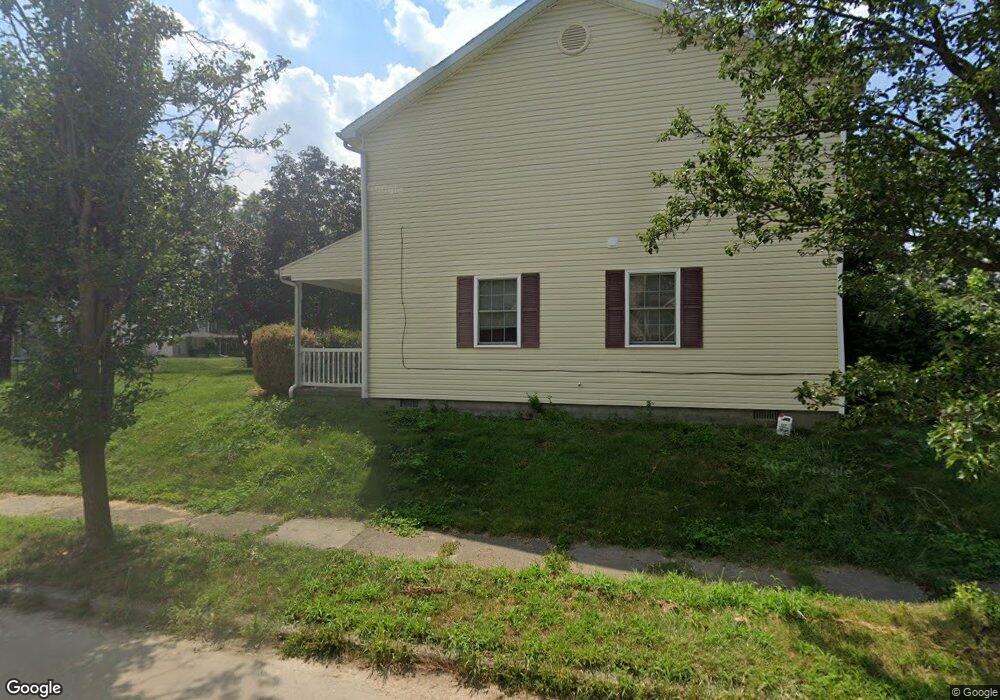
245 E Main St West Carrollton, OH 45449
Estimated Value: $178,000 - $197,000
3
Beds
2
Baths
1,344
Sq Ft
$140/Sq Ft
Est. Value
About This Home
This home is located at 245 E Main St, West Carrollton, OH 45449 and is currently estimated at $188,153, approximately $139 per square foot. 245 E Main St is a home located in Montgomery County with nearby schools including West Carrollton High School, Miami Valley Academies, and Bishop Leibold School.
Ownership History
Date
Name
Owned For
Owner Type
Purchase Details
Closed on
Sep 21, 2004
Sold by
Dayton Ohio Habitat For Humanity Inc
Bought by
Baker Darlene L
Current Estimated Value
Home Financials for this Owner
Home Financials are based on the most recent Mortgage that was taken out on this home.
Original Mortgage
$68,144
Interest Rate
5.78%
Mortgage Type
Seller Take Back
Purchase Details
Closed on
Jul 3, 2003
Sold by
Richard Baldwin and Richard Mickey J
Bought by
Dayton Ohio Habitat For Humanity Inc
Purchase Details
Closed on
Aug 11, 2000
Sold by
Willhoite Glenn
Bought by
Baldwin Richard
Purchase Details
Closed on
Jul 20, 2000
Sold by
Baldwin Richard D
Bought by
Willhoite Glen
Purchase Details
Closed on
Oct 2, 1996
Sold by
Brandly Alice
Bought by
Baldwin Richard and Baldwin Mickey
Create a Home Valuation Report for This Property
The Home Valuation Report is an in-depth analysis detailing your home's value as well as a comparison with similar homes in the area
Home Values in the Area
Average Home Value in this Area
Purchase History
| Date | Buyer | Sale Price | Title Company |
|---|---|---|---|
| Baker Darlene L | $98,000 | None Available | |
| Dayton Ohio Habitat For Humanity Inc | $10,000 | -- | |
| Baldwin Richard | $8,000 | -- | |
| Willhoite Glen | $8,000 | -- | |
| Baldwin Richard | $10,000 | -- |
Source: Public Records
Mortgage History
| Date | Status | Borrower | Loan Amount |
|---|---|---|---|
| Previous Owner | Baker Darlene L | $68,144 |
Source: Public Records
Tax History Compared to Growth
Tax History
| Year | Tax Paid | Tax Assessment Tax Assessment Total Assessment is a certain percentage of the fair market value that is determined by local assessors to be the total taxable value of land and additions on the property. | Land | Improvement |
|---|---|---|---|---|
| 2024 | $3,233 | $51,010 | $6,570 | $44,440 |
| 2023 | $3,233 | $51,010 | $6,570 | $44,440 |
| 2022 | $2,916 | $35,950 | $4,620 | $31,330 |
| 2021 | $2,921 | $35,950 | $4,620 | $31,330 |
| 2020 | $2,921 | $35,950 | $4,620 | $31,330 |
| 2019 | $2,772 | $31,420 | $4,200 | $27,220 |
| 2018 | $2,603 | $31,420 | $4,200 | $27,220 |
| 2017 | $2,586 | $31,420 | $4,200 | $27,220 |
| 2016 | $2,580 | $30,600 | $4,200 | $26,400 |
| 2015 | $2,358 | $30,600 | $4,200 | $26,400 |
| 2014 | $2,358 | $30,600 | $4,200 | $26,400 |
| 2012 | -- | $34,360 | $5,500 | $28,860 |
Source: Public Records
Map
Nearby Homes
- 305 E Central Ave
- 209 E Cottage Ave
- 405 E Pease Ave
- 12 E Main St
- 410 Cedar St
- 21 W Main St
- 234 E Home Ave
- 234 William St
- 44 Savoy Ave
- 628 Burns Ave
- 203 W Pease Ave Unit 205
- 326 Windsor Ct
- 201 S Smith St
- 230 Stadium Ave
- 340 S Elm St
- 121 E Circle Dr
- 26 Southard Ln
- 626 Upland Dr
- 624 Skyview Dr
- 758 Cransberry Dr