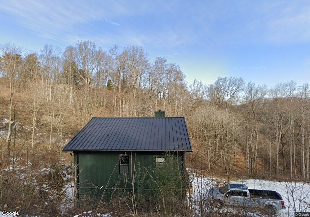
245 Eastview Dr Lancaster, TN 38569
Estimated Value: $343,000 - $422,000
--
Bed
--
Bath
1,024
Sq Ft
$356/Sq Ft
Est. Value
About This Home
This home is located at 245 Eastview Dr, Lancaster, TN 38569 and is currently estimated at $364,668, approximately $356 per square foot. 245 Eastview Dr is a home.
Ownership History
Date
Name
Owned For
Owner Type
Purchase Details
Closed on
Dec 10, 2021
Sold by
Cantrell Edward
Bought by
Morris Anthony
Current Estimated Value
Home Financials for this Owner
Home Financials are based on the most recent Mortgage that was taken out on this home.
Original Mortgage
$40,000
Outstanding Balance
$35,643
Interest Rate
6%
Mortgage Type
New Conventional
Estimated Equity
$329,025
Purchase Details
Closed on
Aug 29, 2019
Sold by
Smith Lee
Bought by
Cantrell Edward
Purchase Details
Closed on
Jun 11, 2009
Sold by
Arney Beulah
Bought by
Smith Lee R
Purchase Details
Closed on
Jan 22, 2004
Sold by
Waterfront Group Inc
Bought by
Arney Beulah
Purchase Details
Closed on
Oct 3, 2001
Sold by
Bogle Ralph
Bought by
Watrfront Group Inc
Purchase Details
Closed on
Oct 2, 2001
Bought by
Waterfront Group Inc Suite 350
Create a Home Valuation Report for This Property
The Home Valuation Report is an in-depth analysis detailing your home's value as well as a comparison with similar homes in the area
Home Values in the Area
Average Home Value in this Area
Purchase History
| Date | Buyer | Sale Price | Title Company |
|---|---|---|---|
| Morris Anthony | $45,000 | -- | |
| Cantrell Edward | -- | -- | |
| Smith Lee R | $40,950 | -- | |
| Arney Beulah | $40,000 | -- | |
| Watrfront Group Inc | $37,800 | -- | |
| Waterfront Group Inc Suite 350 | $27,000 | -- |
Source: Public Records
Mortgage History
| Date | Status | Borrower | Loan Amount |
|---|---|---|---|
| Open | Morris Anthony | $40,000 |
Source: Public Records
Tax History Compared to Growth
Tax History
| Year | Tax Paid | Tax Assessment Tax Assessment Total Assessment is a certain percentage of the fair market value that is determined by local assessors to be the total taxable value of land and additions on the property. | Land | Improvement |
|---|---|---|---|---|
| 2024 | $1,204 | $47,975 | $8,750 | $39,225 |
| 2023 | $175 | $8,750 | $8,750 | $0 |
| 2022 | $151 | $8,750 | $8,750 | $0 |
| 2021 | $151 | $8,750 | $8,750 | $0 |
| 2020 | $285 | $8,750 | $8,750 | $0 |
| 2019 | $285 | $13,400 | $13,400 | $0 |
| 2018 | $246 | $13,400 | $13,400 | $0 |
| 2017 | $246 | $13,400 | $13,400 | $0 |
| 2016 | $246 | $13,400 | $13,400 | $0 |
| 2015 | $217 | $13,400 | $13,400 | $0 |
| 2014 | $223 | $13,750 | $13,750 | $0 |
| 2013 | $223 | $13,750 | $13,750 | $0 |
Source: Public Records
Map
Nearby Homes
- 7100 Dale Ridge Rd Unit A4
- 7100 Dale Ridge Rd
- 56 Harbor Dr
- 120 Bay Dr
- 35 Bayview Dr
- 11 Bay Dr
- 0 Bay View Dr Unit RTC3030507
- 7383 Dale Ridge Rd
- 0 Bayside Dr
- 615 Harbor Dr
- 7720 Dale Ridge Rd
- 183 Baymont Dr
- 110 Village Way
- 77 Baymont Dr
- 0 Long Branch Rd Unit RTC2985993
- 0 Long Branch Rd Unit 238990
- 574 Hayes Ridge Rd
- 425 Hickman Rd
- 448 Dean Acre Ln
- 10 Temperance Cir