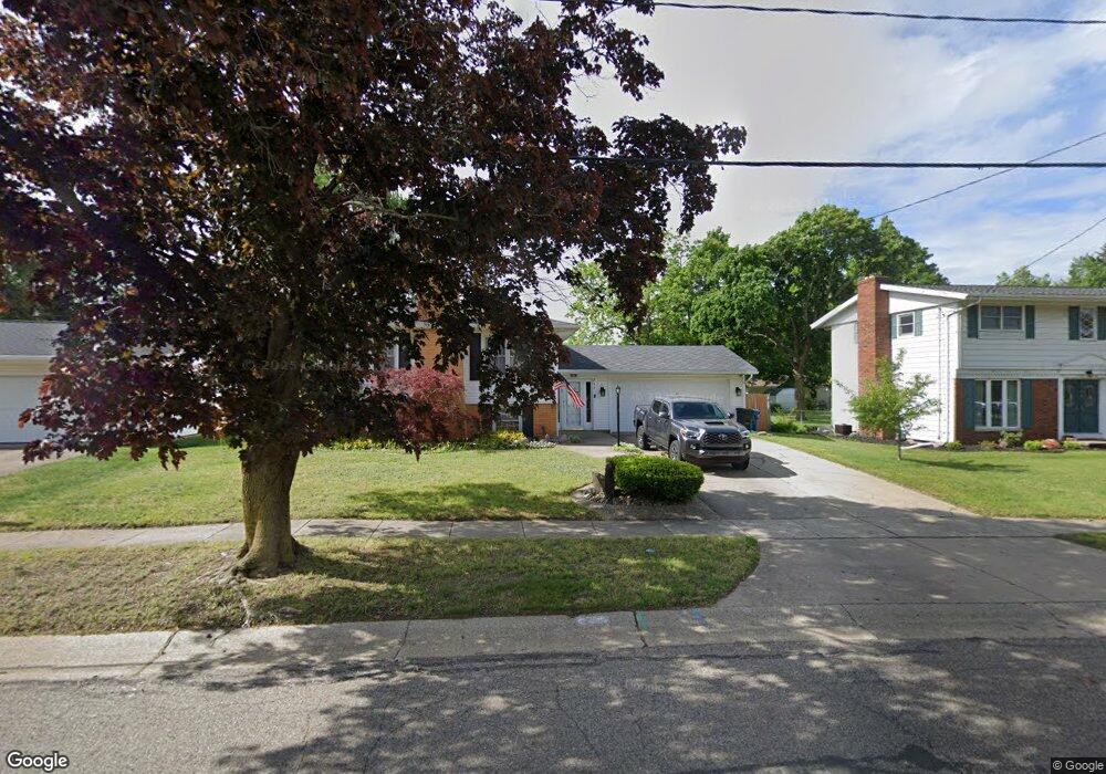
245 Eaton St Battle Creek, MI 49017
Northeast Battle Creek NeighborhoodEstimated Value: $184,000 - $221,000
4
Beds
2
Baths
2,200
Sq Ft
$95/Sq Ft
Est. Value
About This Home
This home is located at 245 Eaton St, Battle Creek, MI 49017 and is currently estimated at $208,900, approximately $94 per square foot. 245 Eaton St is a home located in Calhoun County with nearby schools including Verona Elementary School, Northwestern Middle School, and Battle Creek Central High School.
Ownership History
Date
Name
Owned For
Owner Type
Purchase Details
Closed on
Mar 28, 2007
Sold by
Sirva Relocation Credit Llc
Bought by
Gastian Jon T and Gastian Paula G
Current Estimated Value
Purchase Details
Closed on
Jun 19, 2006
Sold by
Cole Timothy Zachary and Bermudez Rivera Clemencia
Bought by
Sirva Relocation Credit Llc
Purchase Details
Closed on
Dec 27, 2000
Sold by
Geesin Gerald P and Geesin Sharon L
Bought by
Cole Cole T and Cole Bermudez-Rivera C
Create a Home Valuation Report for This Property
The Home Valuation Report is an in-depth analysis detailing your home's value as well as a comparison with similar homes in the area
Home Values in the Area
Average Home Value in this Area
Purchase History
| Date | Buyer | Sale Price | Title Company |
|---|---|---|---|
| Gastian Jon T | $153,000 | Stewart Title Guaranty Co | |
| Sirva Relocation Credit Llc | $153,000 | Stewart Title Detroit | |
| Cole Cole T | $119,000 | -- |
Source: Public Records
Tax History Compared to Growth
Tax History
| Year | Tax Paid | Tax Assessment Tax Assessment Total Assessment is a certain percentage of the fair market value that is determined by local assessors to be the total taxable value of land and additions on the property. | Land | Improvement |
|---|---|---|---|---|
| 2025 | -- | $94,100 | $0 | $0 |
| 2024 | $2,492 | $91,744 | $0 | $0 |
| 2023 | $2,848 | $77,683 | $0 | $0 |
| 2022 | $2,250 | $73,838 | $0 | $0 |
| 2021 | $2,687 | $70,637 | $0 | $0 |
| 2020 | $2,527 | $68,124 | $0 | $0 |
| 2019 | $2,517 | $66,865 | $0 | $0 |
| 2018 | $2,517 | $62,673 | $3,739 | $58,934 |
| 2017 | $2,448 | $53,238 | $0 | $0 |
| 2016 | $2,445 | $52,973 | $0 | $0 |
| 2015 | $2,564 | $52,925 | $3,275 | $49,650 |
| 2014 | $2,564 | $55,636 | $3,275 | $52,361 |
Source: Public Records
Map
Nearby Homes
- 52 Thorncroft Ave
- 561 Garrison Rd
- 0 Hopkins St
- 731 Roosevelt Ave E
- 110 Harriet Ln
- 21 Bradley St
- 0 Capital Ave NE
- 31 Oxford St
- 955 Capital Ave NE
- 274 Central St
- 276 Mckinley Ave N
- 125 Sunset Blvd W
- 292 Hunter St
- 174 East Ave N
- 495 Emmett St E
- V/L Parkview Ave
- 208 Glendale Ave
- 1731 Capital Ave NE
- 261 Emmett St E
- 21 Bryant St
- 251 Eaton St
- 241 Eaton St
- 242 Bradley St
- 238 Bradley St
- 246 Bradley St
- 250 Eaton St
- 244 Eaton St
- 237 Eaton St
- 234 Bradley St
- 252 Bradley St
- 68 Heather Ridge Rd
- 234 Eaton St
- 230 Bradley St
- 231 Eaton St
- 62 Heather Ridge Rd
- 260 Bradley St
- 76 Heather Ridge Rd
- 69 Heather Ridge Rd
- 224 Bradley St
- 241 Bradley St