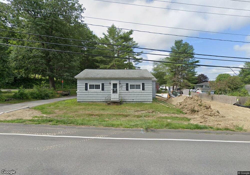
245 Grove St Lewiston, ME 04240
Estimated Value: $213,000 - $322,000
2
Beds
1
Bath
1,327
Sq Ft
$207/Sq Ft
Est. Value
About This Home
This home is located at 245 Grove St, Lewiston, ME 04240 and is currently estimated at $274,489, approximately $206 per square foot. 245 Grove St is a home located in Androscoggin County with nearby schools including Thomas J. McMahon Elementary School, Lewiston High School, and Acadia Academy School.
Ownership History
Date
Name
Owned For
Owner Type
Purchase Details
Closed on
Oct 24, 2011
Sold by
Fnma
Bought by
Couture Donald G
Current Estimated Value
Purchase Details
Closed on
May 24, 2011
Sold by
Phh Mortgage Corp
Bought by
Federal National Mortgage Association
Create a Home Valuation Report for This Property
The Home Valuation Report is an in-depth analysis detailing your home's value as well as a comparison with similar homes in the area
Home Values in the Area
Average Home Value in this Area
Purchase History
| Date | Buyer | Sale Price | Title Company |
|---|---|---|---|
| Couture Donald G | -- | -- | |
| Federal National Mortgage Association | -- | -- |
Source: Public Records
Tax History Compared to Growth
Tax History
| Year | Tax Paid | Tax Assessment Tax Assessment Total Assessment is a certain percentage of the fair market value that is determined by local assessors to be the total taxable value of land and additions on the property. | Land | Improvement |
|---|---|---|---|---|
| 2025 | $2,417 | $73,720 | $17,640 | $56,080 |
| 2024 | $2,342 | $73,720 | $17,640 | $56,080 |
| 2023 | $2,212 | $73,720 | $17,640 | $56,080 |
| 2022 | $2,101 | $73,720 | $17,640 | $56,080 |
| 2021 | $2,083 | $73,720 | $17,640 | $56,080 |
| 2020 | $2,114 | $73,720 | $17,640 | $56,080 |
| 2019 | $2,131 | $73,720 | $17,640 | $56,080 |
| 2018 | $2,114 | $73,720 | $17,640 | $56,080 |
| 2017 | $2,066 | $73,720 | $17,640 | $56,080 |
| 2016 | $2,030 | $73,720 | $17,640 | $56,080 |
| 2015 | $2,018 | $73,720 | $17,640 | $56,080 |
| 2014 | $1,960 | $73,720 | $17,640 | $56,080 |
| 2013 | $1,949 | $73,720 | $17,640 | $56,080 |
Source: Public Records
Map
Nearby Homes