Estimated Value: $214,000 - $337,000
About This Home
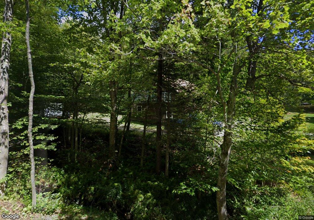
This home is located at 245 Leshure Rd, Rowe, MA 01367 and is currently estimated at $298,565, approximately $327 per square foot. 245 Leshure Rd is a home located in Franklin County with nearby schools including Rowe Elementary School and Mohawk Trail Regional High School.
Ownership History
We collect this data history from publicly available records. To have your information removed, we recommend requesting removal directly through your county’s website.
Purchase Details
Purchase Details
Home Financials for this Owner
Home Financials are based on the most recent Mortgage that was taken out on this home.Purchase Details
Home Financials for this Owner
Home Financials are based on the most recent Mortgage that was taken out on this home.Purchase Details
Home Financials for this Owner
Home Financials are based on the most recent Mortgage that was taken out on this home.Purchase History
We collect this data history from publicly available records. To have your information removed, we recommend requesting removal directly through your county’s website.
| Date | Buyer | Sale Price | Title Company |
|---|---|---|---|
| -- | -- | ||
| -- | -- | ||
| -- | -- | ||
| $75,000 | -- |
Mortgage History
We collect this data history from publicly available records. To have your information removed, we recommend requesting removal directly through your county’s website.
| Date | Status | Borrower | Loan Amount |
|---|---|---|---|
| Previous Owner | $121,200 | ||
| Previous Owner | $122,500 | ||
| Previous Owner | $27,100 | ||
| Previous Owner | $77,000 | ||
| Previous Owner | $67,500 |
Tax History
We collect this data history from publicly available records. To have your information removed, we recommend requesting removal directly through your county’s website.
| Year | Tax Paid | Tax Assessment Tax Assessment Total Assessment is a certain percentage of the fair market value that is determined by local assessors to be the total taxable value of land and additions on the property. | Land | Improvement |
|---|---|---|---|---|
| 2025 | $13 | $244,600 | $54,400 | $190,200 |
| 2024 | $1,166 | $232,800 | $51,800 | $181,000 |
| 2023 | $8 | $227,900 | $46,900 | $181,000 |
| 2022 | $1,229 | $230,600 | $43,700 | $186,900 |
| 2021 | $978 | $183,500 | $43,700 | $139,800 |
| 2020 | $978 | $183,500 | $43,700 | $139,800 |
| 2019 | $891 | $177,900 | $42,100 | $135,800 |
| 2018 | $1,220 | $177,900 | $42,100 | $135,800 |
| 2017 | $1,112 | $179,700 | $37,200 | $142,500 |
| 2016 | $1,084 | $179,700 | $37,200 | $142,500 |
| 2015 | $1,034 | $175,000 | $37,200 | $137,800 |
| 2014 | $1,011 | $166,600 | $29,100 | $137,500 |
Map
- 60 Stone Hill Rd
- 5 Leshures Rd
- 2 Leshures Rd
- 1422 Merrifield Rd
- 0 Number 9 Rd
- Lot 0 Saddada Rd
- 1033 Burrington Hill Rd
- 2245 Burrington Hill Rd
- 2448 Burrington Hill Rd
- 985 Chapel Hill Rd
- 292 Deer Hill Rd
- 70 Deer Hill Dr
- 1192 Chapel Hill Rd
- 712 Stimpson Hill Rd
- Lot 121 Davis Mine Rd
- Lot X Tyanoga Rd
- 233 Poverty Row
- 9 Depot St
- 127 County Rd
- 2173 Vermont 8a
- 232 Leshure Rd
- 3057 Kentfield Rd
- 202 Leshure Rd
- 4 Stone Hill Rd
- 194 Leshure Rd
- Lot 51.1 Stone Hill Rd
- 14 Valley View Ln
- 23 Cross Rd
- 15 Stone Hill Rd
- 189 Potter Rd
- 68 Cross Rd
- 34 Stone Hill Rd
- 49 Cross Rd
- 186 Potter Rd
- 39 Cross Rd
- 16 Shumway Rd
- 171 Potter Rd
- 19 Stone Rd
- 39 Stone Hill Rd
- 172 Potter Rd
Ask me questions while you tour the home.