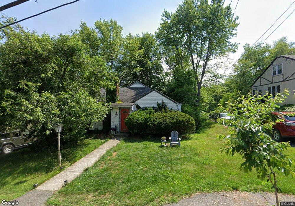
245 Mower St Worcester, MA 01602
West Tatnuck NeighborhoodEstimated Value: $392,473 - $470,000
3
Beds
1
Bath
1,438
Sq Ft
$290/Sq Ft
Est. Value
About This Home
This home is located at 245 Mower St, Worcester, MA 01602 and is currently estimated at $417,618, approximately $290 per square foot. 245 Mower St is a home located in Worcester County with nearby schools including West Tatnuck School, Chandler Magnet, and Jacob Hiatt Magnet School.
Ownership History
Date
Name
Owned For
Owner Type
Purchase Details
Closed on
Oct 19, 2009
Sold by
Fay James E and Fay Catherine R
Bought by
Hesselton Jeffrey J
Current Estimated Value
Home Financials for this Owner
Home Financials are based on the most recent Mortgage that was taken out on this home.
Original Mortgage
$157,102
Outstanding Balance
$102,899
Interest Rate
5.14%
Mortgage Type
Purchase Money Mortgage
Estimated Equity
$314,719
Create a Home Valuation Report for This Property
The Home Valuation Report is an in-depth analysis detailing your home's value as well as a comparison with similar homes in the area
Home Values in the Area
Average Home Value in this Area
Purchase History
| Date | Buyer | Sale Price | Title Company |
|---|---|---|---|
| Hesselton Jeffrey J | $160,000 | -- |
Source: Public Records
Mortgage History
| Date | Status | Borrower | Loan Amount |
|---|---|---|---|
| Open | Hesselton Jeffrey J | $157,102 |
Source: Public Records
Tax History
| Year | Tax Paid | Tax Assessment Tax Assessment Total Assessment is a certain percentage of the fair market value that is determined by local assessors to be the total taxable value of land and additions on the property. | Land | Improvement |
|---|---|---|---|---|
| 2025 | $4,247 | $322,000 | $118,000 | $204,000 |
| 2024 | $4,175 | $303,600 | $118,000 | $185,600 |
| 2023 | $3,994 | $278,500 | $102,600 | $175,900 |
| 2022 | $3,628 | $238,500 | $82,100 | $156,400 |
| 2021 | $3,403 | $209,000 | $65,700 | $143,300 |
| 2020 | $3,344 | $196,700 | $65,700 | $131,000 |
| 2019 | $3,159 | $175,500 | $59,100 | $116,400 |
| 2018 | $3,160 | $167,100 | $59,100 | $108,000 |
| 2017 | $3,066 | $159,500 | $59,100 | $100,400 |
| 2016 | $2,986 | $144,900 | $43,100 | $101,800 |
| 2015 | $2,908 | $144,900 | $43,100 | $101,800 |
| 2014 | $2,831 | $144,900 | $43,100 | $101,800 |
Source: Public Records
Map
Nearby Homes
- 40 Chatanika Ave
- 407 Mower St
- 45 Sussex Ln
- 618 Mill St
- 148A Tory Fort Ln
- 44 Drexel St
- 1066 Pleasant St
- 9 Briarcliff St
- 35 Chesterfield Rd
- 47R Yarnie Unit 4A
- 10 Wrentham Rd Unit 308
- 51 Brantwood Rd
- 1 Ashmore Rd
- 542 Chandler St
- 5 Chartwell Ln Unit 87
- 35 Iowa St
- 7 Tideswell Ln Unit 7
- 14 Baiting Brook Ln Unit 65
- 77 Zenith Dr
- 16 Baiting Brook Ln Unit 64
Your Personal Tour Guide
Ask me questions while you tour the home.