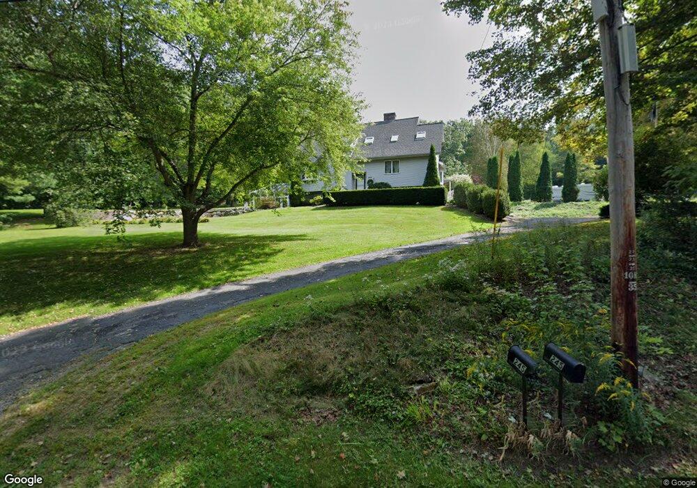
245 Podunk Rd East Brookfield, MA 01515
Estimated Value: $440,000 - $569,000
3
Beds
4
Baths
1,902
Sq Ft
$268/Sq Ft
Est. Value
About This Home
This home is located at 245 Podunk Rd, East Brookfield, MA 01515 and is currently estimated at $509,298, approximately $267 per square foot. 245 Podunk Rd is a home located in Worcester County with nearby schools including David Prouty High School.
Ownership History
Date
Name
Owned For
Owner Type
Purchase Details
Closed on
Sep 16, 2015
Sold by
Cournoyer Patricia A
Bought by
A&P Rt and Cournoyer Arthur W
Current Estimated Value
Purchase Details
Closed on
Mar 11, 2011
Sold by
Cournoyer Arthur W and Cournoyer Patricia A
Bought by
Cournoyer Partricia A
Purchase Details
Closed on
Aug 31, 2004
Sold by
Fiske Albert J
Bought by
Bldrs Cournoyer and Cournoyer Arthur W
Create a Home Valuation Report for This Property
The Home Valuation Report is an in-depth analysis detailing your home's value as well as a comparison with similar homes in the area
Home Values in the Area
Average Home Value in this Area
Purchase History
| Date | Buyer | Sale Price | Title Company |
|---|---|---|---|
| A&P Rt | -- | -- | |
| Cournoyer Partricia A | -- | -- | |
| Bldrs Cournoyer | $45,000 | -- |
Source: Public Records
Tax History Compared to Growth
Tax History
| Year | Tax Paid | Tax Assessment Tax Assessment Total Assessment is a certain percentage of the fair market value that is determined by local assessors to be the total taxable value of land and additions on the property. | Land | Improvement |
|---|---|---|---|---|
| 2025 | $5,544 | $431,800 | $77,000 | $354,800 |
| 2024 | $5,278 | $413,300 | $70,500 | $342,800 |
| 2023 | $4,476 | $341,400 | $64,400 | $277,000 |
| 2022 | $4,694 | $346,900 | $53,900 | $293,000 |
| 2021 | $4,422 | $298,200 | $53,900 | $244,300 |
| 2020 | $4,222 | $284,900 | $53,900 | $231,000 |
| 2019 | $4,328 | $262,800 | $53,900 | $208,900 |
| 2018 | $4,024 | $260,300 | $53,700 | $206,600 |
| 2017 | $3,923 | $241,000 | $49,700 | $191,300 |
| 2016 | $3,908 | $223,800 | $49,700 | $174,100 |
| 2015 | $3,885 | $223,800 | $49,700 | $174,100 |
| 2014 | $3,899 | $223,800 | $49,700 | $174,100 |
Source: Public Records
Map
Nearby Homes
- 0 Podunk Rd L: Subdivision Unit 70583577
- 255 Podunk Rd
- 233 Podunk Rd
- 231 Podunk Rd
- 257 Podunk Rd
- 227 Podunk Rd
- 219 Podunk Rd
- 263 Podunk Rd
- 207 Podunk Rd
- 283 Podunk Rd
- 201 Podunk Rd
- 202 Podunk Rd
- 195 Podunk Rd
- 301 Podunk Rd
- 200 Podunk Rd
- 329 Podunk Rd
- 12E Road b
- 194 Podunk Rd
- 342 Podunk Rd
- 161 Podunk Rd