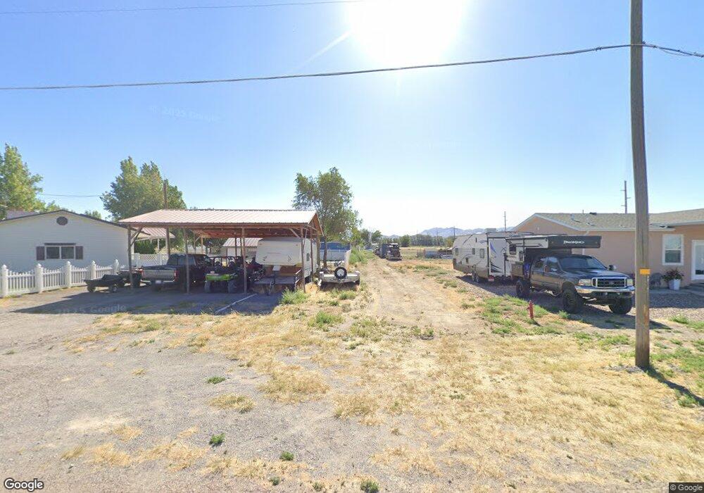
245 S Main St Lynndyl, UT 84640
Estimated Value: $345,000 - $461,216
Studio
--
Bath
--
Sq Ft
26,136
Sq Ft Lot
About This Home
This home is located at 245 S Main St, Lynndyl, UT 84640 and is currently estimated at $407,739. 245 S Main St is a home.
Ownership History
Date
Name
Owned For
Owner Type
Purchase Details
Closed on
Dec 5, 2013
Sold by
Whitaker Roger and Whitaker Johanna K
Bought by
Whitaker Roger and Whitaker Johanna K
Current Estimated Value
Home Financials for this Owner
Home Financials are based on the most recent Mortgage that was taken out on this home.
Original Mortgage
$154,400
Outstanding Balance
$114,100
Interest Rate
4.08%
Mortgage Type
New Conventional
Estimated Equity
$293,639
Purchase Details
Closed on
Nov 26, 2013
Sold by
Middleton Rhea
Bought by
Whitaker Roger and Whhitaker Johanna K
Home Financials for this Owner
Home Financials are based on the most recent Mortgage that was taken out on this home.
Original Mortgage
$154,400
Outstanding Balance
$114,100
Interest Rate
4.08%
Mortgage Type
New Conventional
Estimated Equity
$293,639
Create a Home Valuation Report for This Property
The Home Valuation Report is an in-depth analysis detailing your home's value as well as a comparison with similar homes in the area
Purchase History
| Date | Buyer | Sale Price | Title Company |
|---|---|---|---|
| Whitaker Roger | -- | -- | |
| Whitaker Roger | -- | -- |
Source: Public Records
Mortgage History
| Date | Status | Borrower | Loan Amount |
|---|---|---|---|
| Open | Whitaker Roger | $154,400 |
Source: Public Records
Tax History
| Year | Tax Paid | Tax Assessment Tax Assessment Total Assessment is a certain percentage of the fair market value that is determined by local assessors to be the total taxable value of land and additions on the property. | Land | Improvement |
|---|---|---|---|---|
| 2025 | $2,104 | $275,631 | $32,534 | $243,097 |
| 2024 | $2,104 | $289,768 | $18,770 | $270,998 |
| 2023 | $2,545 | $289,768 | $18,770 | $270,998 |
| 2022 | $1,655 | $155,490 | $15,016 | $140,474 |
| 2021 | $1,457 | $131,991 | $13,057 | $118,934 |
| 2020 | $1,261 | $115,352 | $11,870 | $103,482 |
| 2019 | $1,137 | $104,539 | $10,890 | $93,649 |
| 2018 | $1,099 | $103,549 | $9,900 | $93,649 |
| 2017 | $1,149 | $103,549 | $9,900 | $93,649 |
| 2016 | $1,140 | $107,249 | $7,425 | $99,824 |
| 2015 | $1,141 | $107,249 | $7,425 | $99,824 |
| 2014 | -- | $107,249 | $7,425 | $99,824 |
| 2013 | -- | $121,788 | $7,425 | $114,363 |
Source: Public Records
Map
Nearby Homes
- 58 E 300 South St
- 115 W 200 S
- 73 E 700 S
- 135 E 200 N
- 0 County Road 4616
- Parcel # 8816
- 4909 W 6150 S
- 80 W 470 N
- 50 N 100 Rd E
- 479 E 100 N
- 1565 W Sunflower Ln Unit 3
- 1615 W Sunflower Ln
- 1615 W Sunflower Ln Unit 4
- 1565 W Sunflower Ln
- 0 Tbd Black Rock Rd Unit LotWP001
- 2000 N West Frontage I-15
- 1100 S 725 Rd W
- 310 S 500 West Rd
- 465 S 100 W
- 760 E 700 St S
Your Personal Tour Guide
Ask me questions while you tour the home.