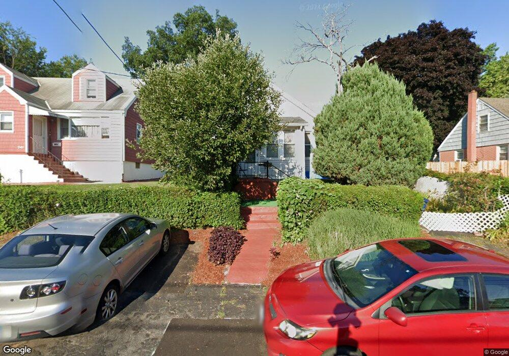
245 Sampson St Bridgeport, CT 06606
Brooklawn-Saint Vincent NeighborhoodEstimated Value: $374,423 - $452,000
4
Beds
1
Bath
1,240
Sq Ft
$340/Sq Ft
Est. Value
About This Home
This home is located at 245 Sampson St, Bridgeport, CT 06606 and is currently estimated at $422,106, approximately $340 per square foot. 245 Sampson St is a home located in Fairfield County with nearby schools including Blackham School, Central High School, and Assumption Catholic School.
Create a Home Valuation Report for This Property
The Home Valuation Report is an in-depth analysis detailing your home's value as well as a comparison with similar homes in the area
Home Values in the Area
Average Home Value in this Area
Tax History
| Year | Tax Paid | Tax Assessment Tax Assessment Total Assessment is a certain percentage of the fair market value that is determined by local assessors to be the total taxable value of land and additions on the property. | Land | Improvement |
|---|---|---|---|---|
| 2025 | $5,864 | $134,950 | $71,670 | $63,280 |
| 2024 | $5,864 | $134,950 | $71,670 | $63,280 |
| 2023 | $5,864 | $134,950 | $71,670 | $63,280 |
| 2022 | $5,864 | $134,950 | $71,670 | $63,280 |
| 2021 | $5,864 | $134,950 | $71,670 | $63,280 |
| 2020 | $4,901 | $90,780 | $37,440 | $53,340 |
| 2019 | $4,901 | $90,780 | $37,440 | $53,340 |
| 2018 | $4,936 | $90,780 | $37,440 | $53,340 |
| 2017 | $4,936 | $90,780 | $37,440 | $53,340 |
| 2016 | $4,936 | $90,780 | $37,440 | $53,340 |
| 2015 | $5,062 | $119,950 | $45,300 | $74,650 |
| 2014 | $5,062 | $119,950 | $45,300 | $74,650 |
Source: Public Records
Map
Nearby Homes
- 11 Myron Ave
- 130 Holroyd St
- 25 Myron Ave
- 125-127 Alexander Dr
- 95 Alexander Ave
- 85-89 Alexander Dr
- 203 Wayne St
- 252 Harlem Ave Unit C4
- 254 Wayne St
- 631 Fairview Ave
- 123 Harlem Ave
- 525 Westfield Ave
- 2625 Park Ave Unit 9R
- 2625 Park Ave Unit 4F
- 405 Westfield Ave
- 2675 Park Ave Unit 26
- 74 Harlem Ave
- 708 Capitol Ave Unit 710
- 92 Lincoln Ave
- 11 Stratfield Place
Your Personal Tour Guide
Ask me questions while you tour the home.