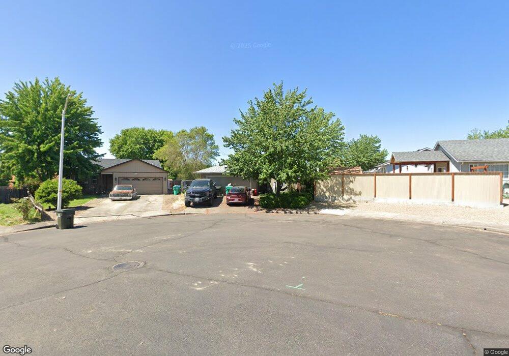
245 Thundercloud Cir Eagle Point, OR 97524
Estimated Value: $318,000 - $333,000
3
Beds
2
Baths
1,053
Sq Ft
$309/Sq Ft
Est. Value
About This Home
This home is located at 245 Thundercloud Cir, Eagle Point, OR 97524 and is currently estimated at $325,530, approximately $309 per square foot. 245 Thundercloud Cir is a home located in Jackson County with nearby schools including Eagle Rock Elementary School, Eagle Point Middle School, and White Mountain Middle School.
Ownership History
Date
Name
Owned For
Owner Type
Purchase Details
Closed on
Oct 10, 2003
Sold by
Oren Ben Dayan Jennifer and Oren Ben Dayan
Bought by
Leonardo Gary A and Leonardo Jane
Current Estimated Value
Home Financials for this Owner
Home Financials are based on the most recent Mortgage that was taken out on this home.
Original Mortgage
$111,900
Outstanding Balance
$51,639
Interest Rate
6.4%
Mortgage Type
Purchase Money Mortgage
Estimated Equity
$273,891
Create a Home Valuation Report for This Property
The Home Valuation Report is an in-depth analysis detailing your home's value as well as a comparison with similar homes in the area
Home Values in the Area
Average Home Value in this Area
Purchase History
| Date | Buyer | Sale Price | Title Company |
|---|---|---|---|
| Leonardo Gary A | $139,900 | Lawyers Title Insurance Corp |
Source: Public Records
Mortgage History
| Date | Status | Borrower | Loan Amount |
|---|---|---|---|
| Open | Leonardo Gary A | $111,900 |
Source: Public Records
Tax History
| Year | Tax Paid | Tax Assessment Tax Assessment Total Assessment is a certain percentage of the fair market value that is determined by local assessors to be the total taxable value of land and additions on the property. | Land | Improvement |
|---|---|---|---|---|
| 2026 | $2,224 | $163,490 | -- | -- |
| 2025 | $2,172 | $158,730 | $105,500 | $53,230 |
| 2024 | $2,172 | $154,110 | $102,430 | $51,680 |
| 2023 | $2,098 | $149,630 | $99,460 | $50,170 |
| 2022 | $2,041 | $149,630 | $99,460 | $50,170 |
| 2021 | $1,981 | $145,280 | $96,570 | $48,710 |
| 2020 | $2,104 | $141,050 | $93,760 | $47,290 |
| 2019 | $2,072 | $132,970 | $88,400 | $44,570 |
| 2018 | $2,033 | $129,100 | $85,830 | $43,270 |
| 2017 | $1,983 | $129,100 | $85,830 | $43,270 |
| 2016 | $1,944 | $121,690 | $80,900 | $40,790 |
| 2015 | $1,881 | $121,690 | $80,900 | $40,790 |
| 2014 | $1,760 | $114,710 | $76,260 | $38,450 |
Source: Public Records
Map
Nearby Homes
- 250 Tierra Cir
- 71 Tracy Ave Unit 71 & 73
- 911 Stonewater Dr
- 917 Stonewater Dr
- 912 Stonewater Dr
- 403 N Deanjou Ave
- 925 Sellwood Dr
- 407 N Deanjou Ave
- 1023 Highlands Dr
- 318 S Buchanan Ave
- 110 Linton Way
- 650 Sarah Ln
- 426 Westminster Dr
- 438 Westminster Dr
- 208 Northview Dr Unit 1B
- 620 S Royal Ave
- 945 Win Way
- 1017 Havenwood Dr
- 0 Crater Lake Hwy
- 407 S Shasta Ave
- 241 Thundercloud Cir
- 246 Tierra Cir
- 257 Thundercloud Cir
- 625 Clearview Way
- 237 Thundercloud Cir
- 242 Tierra Cir
- 240 Thundercloud Cir
- 582 Laurel St
- 590 Laurel St
- 244 Thundercloud Cir
- 570 Laurel St
- 239 Tierra Cir
- 248 Thundercloud Cir
- 598 Laurel St
- 611 Clearview Way
- 548 Laurel St
- 618 Clearview Way
- 624 Clearview Way
- 630 Clearview Way
- 608 Laurel St
Your Personal Tour Guide
Ask me questions while you tour the home.