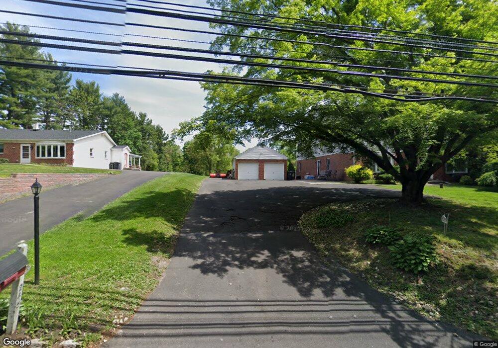
245 W Bristol Rd Southampton, PA 18966
Estimated Value: $744,000 - $1,112,000
4
Beds
3
Baths
4,086
Sq Ft
$217/Sq Ft
Est. Value
About This Home
This home is located at 245 W Bristol Rd, Southampton, PA 18966 and is currently estimated at $888,556, approximately $217 per square foot. 245 W Bristol Rd is a home located in Bucks County with nearby schools including Maureen M. Welch Elementary School, Richboro Middle School, and Council Rock High School - South.
Ownership History
Date
Name
Owned For
Owner Type
Purchase Details
Closed on
Nov 2, 2007
Sold by
Magro Diane D
Bought by
Magro Joseph
Current Estimated Value
Home Financials for this Owner
Home Financials are based on the most recent Mortgage that was taken out on this home.
Original Mortgage
$325,000
Outstanding Balance
$203,819
Interest Rate
6.21%
Mortgage Type
New Conventional
Estimated Equity
$684,737
Purchase Details
Closed on
May 17, 1993
Bought by
Magro Joseph and Magro Diane
Create a Home Valuation Report for This Property
The Home Valuation Report is an in-depth analysis detailing your home's value as well as a comparison with similar homes in the area
Home Values in the Area
Average Home Value in this Area
Purchase History
| Date | Buyer | Sale Price | Title Company |
|---|---|---|---|
| Magro Joseph | -- | None Available | |
| Magro Joseph | $155,000 | -- |
Source: Public Records
Mortgage History
| Date | Status | Borrower | Loan Amount |
|---|---|---|---|
| Open | Magro Joseph | $325,000 |
Source: Public Records
Tax History Compared to Growth
Tax History
| Year | Tax Paid | Tax Assessment Tax Assessment Total Assessment is a certain percentage of the fair market value that is determined by local assessors to be the total taxable value of land and additions on the property. | Land | Improvement |
|---|---|---|---|---|
| 2025 | $8,089 | $42,000 | $7,240 | $34,760 |
| 2024 | $8,089 | $42,000 | $7,240 | $34,760 |
| 2023 | $7,624 | $42,000 | $7,240 | $34,760 |
| 2022 | $7,554 | $42,000 | $7,240 | $34,760 |
| 2021 | $7,315 | $42,000 | $7,240 | $34,760 |
| 2020 | $7,151 | $42,000 | $7,240 | $34,760 |
| 2019 | $6,845 | $42,000 | $7,240 | $34,760 |
| 2018 | $6,723 | $42,000 | $7,240 | $34,760 |
| 2017 | $6,464 | $42,000 | $7,240 | $34,760 |
| 2016 | $6,464 | $42,000 | $7,240 | $34,760 |
| 2015 | -- | $42,000 | $7,240 | $34,760 |
| 2014 | -- | $42,000 | $7,240 | $34,760 |
Source: Public Records
Map
Nearby Homes
- 215 Surrey Rd
- 448 W Bristol Rd
- 29 Devon Rd
- 800 New Rd
- 1310 Dennis Rd
- 290 Hatboro Rd
- 559 Maple Ave
- 18 Daffodil Dr
- 225 Green Dr
- 1031 Willopenn Dr
- 968 Willopenn Dr
- 1020 Pennsylvania Ave
- 249 New Rd
- 371 N 2nd Street Pike
- 564 Byron Rd
- 844 Hostman Ave
- 67 Woodland Dr
- 955 Bristol Rd
- 694 Davisville Rd
- 1495 Estate Ln
- 235 W Bristol Rd
- 255 W Bristol Rd
- 323 Cherry Blossom Dr
- 225 Beaver Rd
- 221 W Bristol Rd
- 217 Beaver Rd
- 311 Cherry Blossom Dr
- 233 Beaver Rd
- 209 Beaver Rd
- 330 Cherry Blossom Dr
- 211 W Bristol Rd
- 243 Beaver Rd
- 200 W Bristol Rd
- 201 W Bristol Rd
- 299 Cherry Blossom Dr
- 320 Cherry Blossom Dr
- 220 Beaver Rd
- 230 Beaver Rd
- 190 W Bristol Rd
- 75 Sunshine Rd