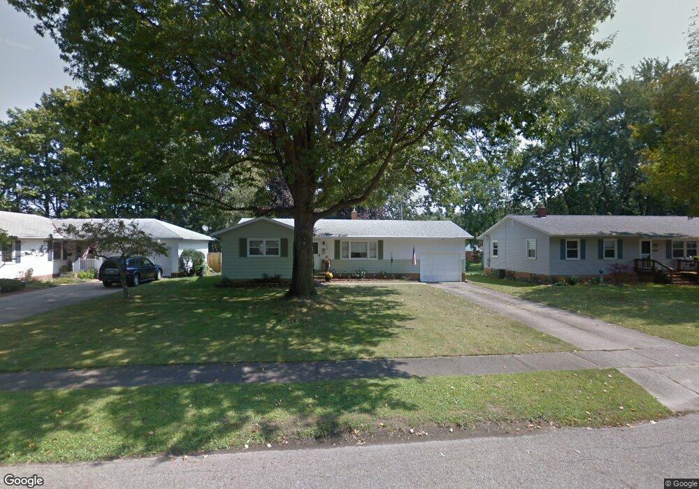
2450 Eastern Ave Alliance, OH 44601
Estimated Value: $151,234 - $190,000
3
Beds
1
Bath
1,104
Sq Ft
$156/Sq Ft
Est. Value
About This Home
This home is located at 2450 Eastern Ave, Alliance, OH 44601 and is currently estimated at $172,559, approximately $156 per square foot. 2450 Eastern Ave is a home located in Stark County with nearby schools including Alliance Elementary School at Rockhill, Alliance Intermediate School at Northside, and Alliance Middle School.
Ownership History
Date
Name
Owned For
Owner Type
Purchase Details
Closed on
Oct 1, 2011
Sold by
Reed Virginia Rose and Reed Karen A
Bought by
Roller Joyce L
Current Estimated Value
Home Financials for this Owner
Home Financials are based on the most recent Mortgage that was taken out on this home.
Original Mortgage
$76,022
Outstanding Balance
$52,224
Interest Rate
4.25%
Mortgage Type
FHA
Estimated Equity
$120,335
Purchase Details
Closed on
Jan 29, 1993
Create a Home Valuation Report for This Property
The Home Valuation Report is an in-depth analysis detailing your home's value as well as a comparison with similar homes in the area
Home Values in the Area
Average Home Value in this Area
Purchase History
| Date | Buyer | Sale Price | Title Company |
|---|---|---|---|
| Roller Joyce L | $78,000 | Heritage Union Title Co Ltd | |
| -- | -- | -- |
Source: Public Records
Mortgage History
| Date | Status | Borrower | Loan Amount |
|---|---|---|---|
| Open | Roller Joyce L | $76,022 |
Source: Public Records
Tax History Compared to Growth
Tax History
| Year | Tax Paid | Tax Assessment Tax Assessment Total Assessment is a certain percentage of the fair market value that is determined by local assessors to be the total taxable value of land and additions on the property. | Land | Improvement |
|---|---|---|---|---|
| 2025 | -- | $38,820 | $14,070 | $24,750 |
| 2024 | -- | $38,820 | $14,070 | $24,750 |
| 2023 | $1,314 | $32,700 | $10,190 | $22,510 |
| 2022 | $661 | $32,700 | $10,190 | $22,510 |
| 2021 | $1,324 | $32,700 | $10,190 | $22,510 |
| 2020 | $1,239 | $28,570 | $8,860 | $19,710 |
| 2019 | $1,221 | $28,570 | $8,860 | $19,710 |
| 2018 | $1,227 | $28,570 | $8,860 | $19,710 |
| 2017 | $1,057 | $24,220 | $7,280 | $16,940 |
| 2016 | $1,066 | $24,220 | $7,280 | $16,940 |
| 2015 | $1,052 | $23,700 | $7,280 | $16,420 |
| 2014 | $1,134 | $24,330 | $7,490 | $16,840 |
| 2013 | $566 | $24,330 | $7,490 | $16,840 |
Source: Public Records
Map
Nearby Homes
- 1059 Oakwood Dr
- 2112 Blenheim Ave
- 2839 S Rockhill Ave
- 2220 Western Ave
- 2050 Federal Ave
- 3101 Ridgehill Ave
- 884 W College Rd
- 1515 S Rockhill Ave
- 0 Winchester St
- 0 Winchester St Unit 5162877
- 1325 W Beech St
- 1201 Overlook Dr
- 1321 Parkway Blvd
- 236 E Milton St
- 1038 Fairview Place
- 277 W Carol St
- 970 Kingsway St
- 112 E College St
- 738 Kingsway St
- 317 E State St
- 2436 Eastern Ave
- 2470 Eastern Ave
- 2449 Pleasant Place
- 2422 Eastern Ave
- 2435 Pleasant Place
- 2461 Pleasant Place
- 2449 Eastern Ave
- 2421 Pleasant Place
- 2435 Eastern Ave
- 2461 Eastern Ave
- 2471 Pleasant Place
- 2500 Eastern Ave
- 2406 Eastern Ave
- 2421 Eastern Ave
- 2471 Eastern Ave
- 2405 Pleasant Place
- 2501 Pleasant Place
- 2508 Eastern Ave
- 2405 Eastern Ave
- 2501 Eastern Ave