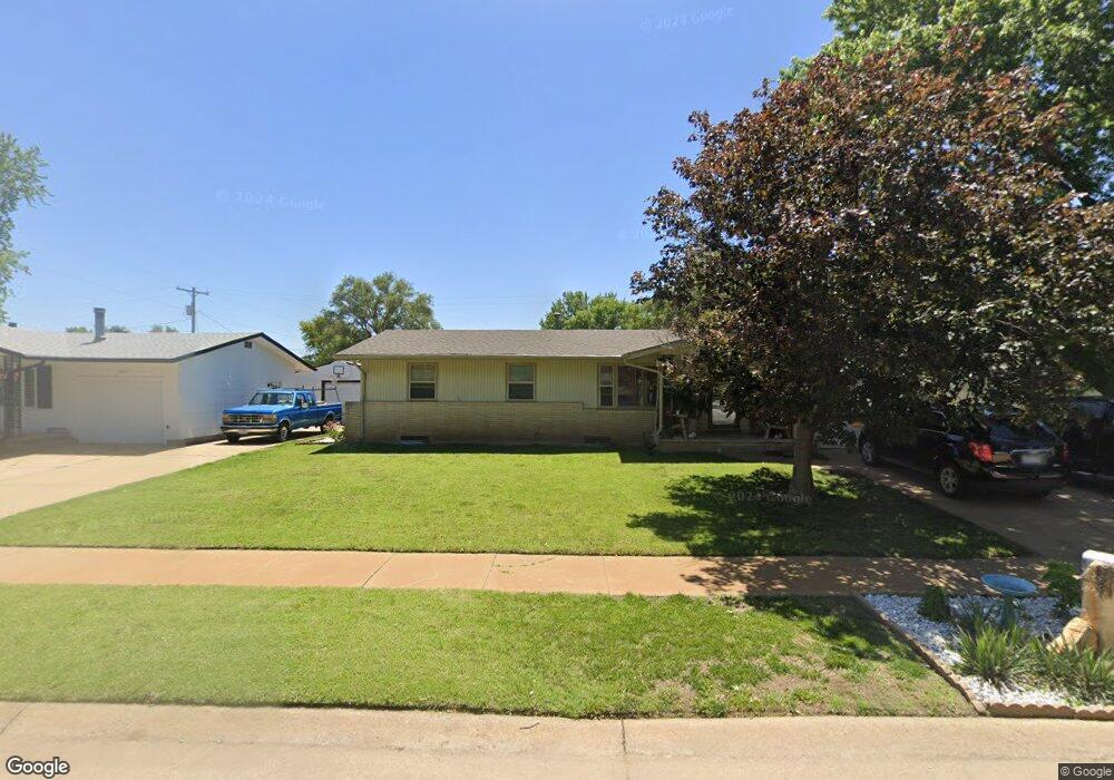
2452 Robin Rd Salina, KS 67401
Estimated Value: $206,673 - $222,000
3
Beds
2
Baths
1,141
Sq Ft
$188/Sq Ft
Est. Value
About This Home
This home is located at 2452 Robin Rd, Salina, KS 67401 and is currently estimated at $214,891, approximately $188 per square foot. 2452 Robin Rd is a home located in Saline County with nearby schools including Coronado Elementary School, Salina South Middle School, and Salina High School South.
Ownership History
Date
Name
Owned For
Owner Type
Purchase Details
Closed on
Apr 4, 2012
Sold by
Smith Lewis H
Bought by
Lewis H Smith Revocable Trust Dated May
Current Estimated Value
Purchase Details
Closed on
Dec 3, 2010
Sold by
Smith Lewis H and Smith Jerold L
Bought by
Smith Philip C and Smith Theresa L
Home Financials for this Owner
Home Financials are based on the most recent Mortgage that was taken out on this home.
Original Mortgage
$40,000
Interest Rate
4.24%
Create a Home Valuation Report for This Property
The Home Valuation Report is an in-depth analysis detailing your home's value as well as a comparison with similar homes in the area
Home Values in the Area
Average Home Value in this Area
Purchase History
| Date | Buyer | Sale Price | Title Company |
|---|---|---|---|
| Lewis H Smith Revocable Trust Dated May | -- | -- | |
| Smith Philip C | -- | None |
Source: Public Records
Mortgage History
| Date | Status | Borrower | Loan Amount |
|---|---|---|---|
| Previous Owner | Smith Philip C | $40,000 |
Source: Public Records
Tax History
| Year | Tax Paid | Tax Assessment Tax Assessment Total Assessment is a certain percentage of the fair market value that is determined by local assessors to be the total taxable value of land and additions on the property. | Land | Improvement |
|---|---|---|---|---|
| 2025 | $2,937 | $22,299 | $1,837 | $20,462 |
| 2024 | $2,836 | $21,620 | $2,552 | $19,068 |
| 2023 | $2,836 | $21,080 | $2,405 | $18,675 |
| 2022 | $2,485 | $18,987 | $2,099 | $16,888 |
| 2021 | $2,409 | $17,698 | $2,211 | $15,487 |
| 2020 | $2,313 | $16,813 | $2,452 | $14,361 |
| 2019 | $2,077 | $16,341 | $2,293 | $14,048 |
| 2018 | $2,170 | $16,019 | $2,293 | $13,726 |
| 2017 | $0 | $15,272 | $2,110 | $13,162 |
| 2016 | $0 | $14,467 | $2,110 | $12,357 |
| 2015 | -- | $14,468 | $2,128 | $12,340 |
| 2013 | -- | $0 | $0 | $0 |
Source: Public Records
Map
Nearby Homes
- 2644 Belmont Blvd
- 2641 Robin Rd
- 712 Colonial Ct
- 2661 Highland Ave
- 2627 Bret Ave
- 2228 Edward St
- 400 Laura St
- 416 Saturn Ave
- 1007 Burr Oak Ln
- 2342 Shalimar Dr
- 2211 S Ohio St
- 656 Joanie Ln
- 1304 Sequoia Dr
- 2037 Roach St
- 2962 Jack Cir
- 2042 Lewis Ave
- 1107 E Wayne Ave
- 2824 Crystal Lake Dr
- 00000 Evening Bay Dr L5 B1
- 00000 Evening Bay Dr L6 B1
Your Personal Tour Guide
Ask me questions while you tour the home.