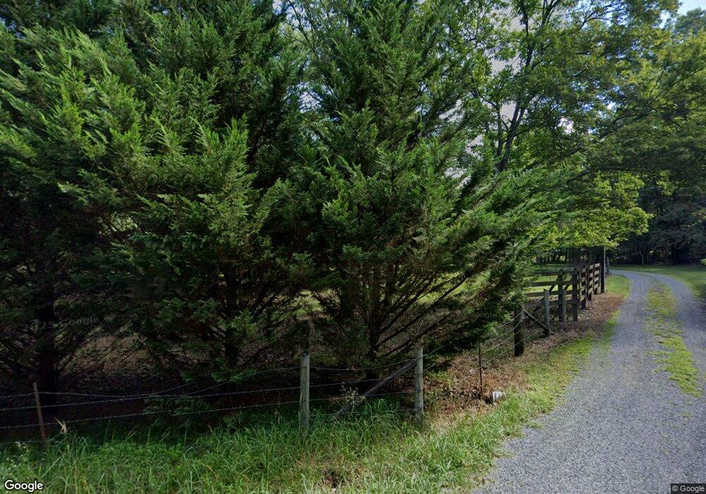
2453 Barker Camp Rd Dunlap, TN 37327
Estimated Value: $504,000 - $794,410
--
Bed
3
Baths
2,596
Sq Ft
$256/Sq Ft
Est. Value
About This Home
This home is located at 2453 Barker Camp Rd, Dunlap, TN 37327 and is currently estimated at $663,470, approximately $255 per square foot. 2453 Barker Camp Rd is a home located in Sequatchie County with nearby schools including Griffith Elementary School, Sequatchie County Middle School, and Sequatchie County High School.
Ownership History
Date
Name
Owned For
Owner Type
Purchase Details
Closed on
Feb 22, 2017
Sold by
Bacon Phillip E and Bacon Wife
Bought by
Bacon Phillip E Jr & Wife Cindy J Trustees
Current Estimated Value
Purchase Details
Closed on
Jan 16, 1996
Bought by
Bacon Phillip E and Wife Cindy J
Purchase Details
Closed on
Jun 17, 1994
Bought by
Millsaps Dale R and Wife Karen L
Create a Home Valuation Report for This Property
The Home Valuation Report is an in-depth analysis detailing your home's value as well as a comparison with similar homes in the area
Home Values in the Area
Average Home Value in this Area
Purchase History
| Date | Buyer | Sale Price | Title Company |
|---|---|---|---|
| Bacon Phillip E Jr & Wife Cindy J Trustees | -- | -- | |
| Bacon Phillip E | $75,000 | -- | |
| Millsaps Dale R | $37,500 | -- |
Source: Public Records
Tax History Compared to Growth
Tax History
| Year | Tax Paid | Tax Assessment Tax Assessment Total Assessment is a certain percentage of the fair market value that is determined by local assessors to be the total taxable value of land and additions on the property. | Land | Improvement |
|---|---|---|---|---|
| 2024 | $2,302 | $125,350 | $14,650 | $110,700 |
| 2023 | $2,302 | $125,350 | $14,650 | $110,700 |
| 2022 | $2,116 | $86,650 | $11,400 | $75,250 |
| 2021 | $2,136 | $87,450 | $11,400 | $76,050 |
| 2020 | $1,727 | $70,725 | $11,400 | $59,325 |
| 2019 | $1,727 | $70,725 | $11,400 | $59,325 |
| 2018 | $1,727 | $70,725 | $11,400 | $59,325 |
| 2017 | $1,727 | $70,725 | $11,400 | $59,325 |
| 2016 | $1,674 | $65,175 | $10,050 | $55,125 |
| 2015 | $1,674 | $65,175 | $10,050 | $55,125 |
| 2014 | $1,670 | $65,000 | $10,050 | $54,950 |
Source: Public Records
Map
Nearby Homes
- 112 Henson Gap Rd
- 100 Henson Gap Rd
- 3086 Poe Rd
- 2996 Mowbray Pike
- 3087 Poe Rd
- 3069 Poe Rd
- 3057 Poe Rd
- 4 Henson Gap Rd
- 406 Green Brier Ln
- 2907 Mowbray Pike
- 2740 Mowbray Pike
- 2664 Mowbray Pike
- 2796 Mowbray Pike
- 2772 Mowbray Pike
- 3075 Poe Rd
- 8957 Big Bend Rd
- 8945 Big Bend Rd
- 2362 Little Bend Rd
- 2593 Boston Branch Cir
- 2345 Little Bend Rd
- 2503 Barker Camp Rd
- 0 Barker Camp Rd Unit 1173117
- 0 Barker Camp Rd Unit RTC2350582
- 0 Barker Camp Rd Unit RTC2731303
- 0 Barker Camp Rd Unit 1057614
- 0 Barker Camp Rd Unit 1259816
- 0 Barker Camp Rd Unit 1256009
- 0 Barker Camp Rd Unit 1232893
- 0 Barker Camp Rd Unit 1215610
- 0 Barker Camp Rd Unit 1093256
- 0 Barker Camp Rd Unit 1036917
- 0 Barker Camp Rd Unit 987274
- 0 Barker Camp Rd Unit 20193642
- 2336 Barker Camp Rd
- 2334 Barker Camp Rd
- 2478 Barker Camp Rd
- 1832 Barker Camp Rd
- 2675 Barker Camp Rd
- 2285 Barker Camp Rd
- 2710 Barker Camp Rd
