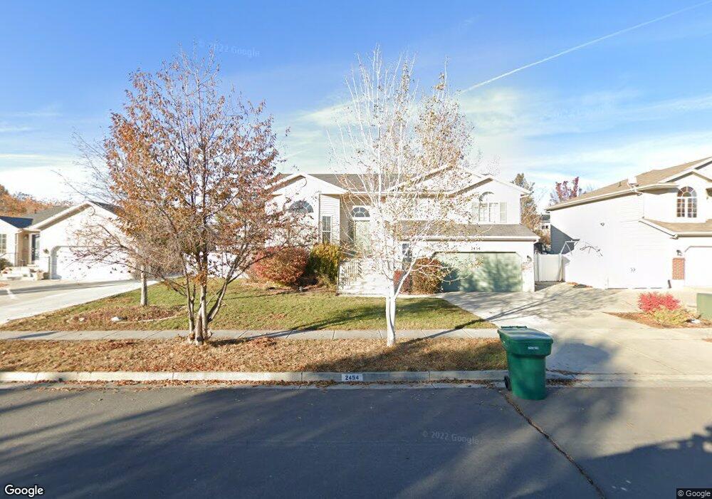
2454 W 1225 N Layton, UT 84041
Estimated Value: $504,000 - $555,000
3
Beds
2
Baths
1,530
Sq Ft
$342/Sq Ft
Est. Value
About This Home
This home is located at 2454 W 1225 N, Layton, UT 84041 and is currently estimated at $523,448, approximately $342 per square foot. 2454 W 1225 N is a home located in Davis County with nearby schools including Ellison Park School, Shoreline Junior High School, and Layton High School.
Ownership History
Date
Name
Owned For
Owner Type
Purchase Details
Closed on
Aug 2, 2021
Sold by
Pham Annette Z
Bought by
Pham Annette Z and Pham Truyen T
Current Estimated Value
Home Financials for this Owner
Home Financials are based on the most recent Mortgage that was taken out on this home.
Original Mortgage
$88,000
Outstanding Balance
$54,505
Interest Rate
3%
Mortgage Type
New Conventional
Estimated Equity
$468,943
Purchase Details
Closed on
Feb 24, 2004
Sold by
Woodside Homes Corp
Bought by
Pham Annette Z
Home Financials for this Owner
Home Financials are based on the most recent Mortgage that was taken out on this home.
Original Mortgage
$167,571
Interest Rate
5.62%
Mortgage Type
FHA
Create a Home Valuation Report for This Property
The Home Valuation Report is an in-depth analysis detailing your home's value as well as a comparison with similar homes in the area
Home Values in the Area
Average Home Value in this Area
Purchase History
| Date | Buyer | Sale Price | Title Company |
|---|---|---|---|
| Pham Annette Z | -- | Accommodation | |
| Pham Annette Z | -- | Us Title Of Utah |
Source: Public Records
Mortgage History
| Date | Status | Borrower | Loan Amount |
|---|---|---|---|
| Open | Pham Annette Z | $88,000 | |
| Closed | Pham Annette Z | $167,571 |
Source: Public Records
Tax History Compared to Growth
Tax History
| Year | Tax Paid | Tax Assessment Tax Assessment Total Assessment is a certain percentage of the fair market value that is determined by local assessors to be the total taxable value of land and additions on the property. | Land | Improvement |
|---|---|---|---|---|
| 2025 | $2,578 | $270,600 | $114,173 | $156,427 |
| 2024 | $2,575 | $272,250 | $125,611 | $146,639 |
| 2023 | $2,473 | $461,000 | $125,669 | $335,331 |
| 2022 | $2,690 | $272,250 | $77,663 | $194,587 |
| 2021 | $2,358 | $356,000 | $116,514 | $239,486 |
| 2020 | $2,127 | $308,000 | $98,253 | $209,747 |
| 2019 | $2,080 | $295,000 | $100,366 | $194,634 |
| 2018 | $1,868 | $266,000 | $88,078 | $177,922 |
| 2016 | $1,640 | $120,450 | $34,829 | $85,621 |
| 2015 | $1,648 | $114,895 | $34,829 | $80,066 |
| 2014 | $1,664 | $118,611 | $34,829 | $83,782 |
| 2013 | -- | $107,185 | $28,952 | $78,233 |
Source: Public Records
Map
Nearby Homes
- 2543 W 1275 N
- 1071 Jamie-Matt Cir
- 2438 W 1400 N
- 2631 W 1075 N
- 1477 N 2375 W
- 2115 W 1225 N
- 1430 N 2100 W
- 2114 S 825 E
- 2828 Brady Way
- 818 N 2625 W
- 1491 N 1875 W
- 1491 N 1875 W Unit 158
- 1487 N 1875 W
- 1487 N 1875 W Unit 159
- 1452 N 1875 W Unit 146
- 1483 N 1875 W
- 1479 N 1875 W
- 1479 N 1875 W Unit 161
- 1463 N 1875 W Unit 165
- 1463 N 1875 W