
Seller's Agent in 2025
James Nava
Keller Williams Group One Inc.
(775) 527-2015
5 in this area
229 Total Sales
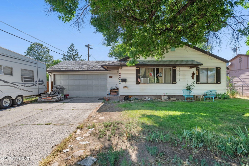
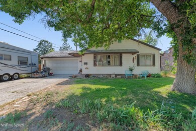
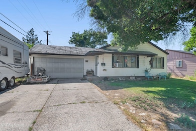
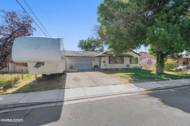
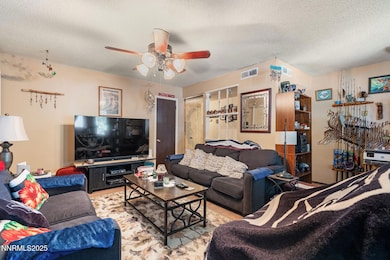
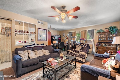
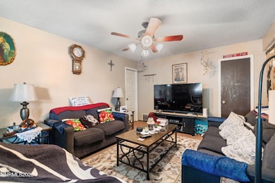
INVESTOR SPECIAL!! This home is located in the heart of Sparks close to nearby schools, shopping, restaurants and more! With the right love and care this property can be reimagined into a cozy sweet home. Built in the 1960's this charming 4 bedroom 1.5 bath house makes for a great rental or an awesome fix and flip opportunity. Great bones in a great location! Check it out before it's too late!
Last Agent to Sell the Property
Keller Williams Group One Inc. License #S.180112 Listed on: 06/13/2025
Last Buyer's Agent
Keller Williams Group One Inc. License #S.180112 Listed on: 06/13/2025
| Date | Type | Sale Price | Title Company |
|---|---|---|---|
| Bargain Sale Deed | $250,000 | Stewart Title | |
| Quit Claim Deed | -- | None Available | |
| Interfamily Deed Transfer | -- | None Available | |
| Interfamily Deed Transfer | -- | None Available |
| Date | Status | Loan Amount | Loan Type |
|---|---|---|---|
| Open | $240,000 | Seller Take Back |
| Date | Event | Price | List to Sale | Price per Sq Ft |
|---|---|---|---|---|
| 08/08/2025 08/08/25 | Sold | $250,000 | -33.3% | $209 / Sq Ft |
| 06/13/2025 06/13/25 | For Sale | $375,000 | -- | $314 / Sq Ft |
| Year | Tax Paid | Tax Assessment Tax Assessment Total Assessment is a certain percentage of the fair market value that is determined by local assessors to be the total taxable value of land and additions on the property. | Land | Improvement |
|---|---|---|---|---|
| 2025 | $709 | $50,884 | $33,565 | $17,319 |
| 2024 | $709 | $47,129 | $30,065 | $17,064 |
| 2023 | $689 | $47,126 | $31,325 | $15,801 |
| 2022 | $670 | $39,062 | $26,180 | $12,882 |
| 2021 | $651 | $30,496 | $17,955 | $12,541 |
| 2020 | $630 | $29,242 | $16,940 | $12,302 |
| 2019 | $611 | $27,514 | $15,890 | $11,624 |
| 2018 | $584 | $22,895 | $11,725 | $11,170 |
| 2017 | $567 | $21,360 | $10,395 | $10,965 |
| 2016 | $560 | $20,333 | $9,345 | $10,988 |
| 2015 | $562 | $18,605 | $7,700 | $10,905 |
| 2014 | $545 | $16,725 | $6,440 | $10,285 |
| 2013 | -- | $14,278 | $4,270 | $10,008 |
Seller's Agent in 2025
James Nava
Keller Williams Group One Inc.
(775) 527-2015
5 in this area
229 Total Sales
Source: Northern Nevada Regional MLS
MLS Number: 250051477
APN: 028-223-09
Disclaimer: Certain information contained herein is derived from information provided by parties other than Homes.com. All information provided is deemed reliable, but is not guaranteed to be accurate and should be independently verified.
![]() IDX information is provided exclusively for personal, non-commercial use, and may not be used for any purpose other than to identify prospective properties consumers may be interested in purchasing. Information is deemed reliable but not guaranteed. The content relating to real estate for sale on this web site comes in part from the Broker Reciprocity/ IDX program of the Northern Nevada Regional Multiple Listing Service°. Real estate listings held by brokerage firms other than Ten-X are marked with the Broker Reciprocity logo and detailed information about those listings includes the name of the listing brokerage. Any use of the content other than by a search performed by a consumer looking to purchase or rent real estate is prohibited. © 2025 Northern Nevada Regional Multiple Listing Service® MLS. All rights reserved.
IDX information is provided exclusively for personal, non-commercial use, and may not be used for any purpose other than to identify prospective properties consumers may be interested in purchasing. Information is deemed reliable but not guaranteed. The content relating to real estate for sale on this web site comes in part from the Broker Reciprocity/ IDX program of the Northern Nevada Regional Multiple Listing Service°. Real estate listings held by brokerage firms other than Ten-X are marked with the Broker Reciprocity logo and detailed information about those listings includes the name of the listing brokerage. Any use of the content other than by a search performed by a consumer looking to purchase or rent real estate is prohibited. © 2025 Northern Nevada Regional Multiple Listing Service® MLS. All rights reserved.