24551 New Post Rd Saint Michaels, MD 21663
Estimated Value: $1,686,000 - $3,170,000
Studio
3
Baths
4,903
Sq Ft
$470/Sq Ft
Est. Value
About This Home
This home is located at 24551 New Post Rd, Saint Michaels, MD 21663 and is currently estimated at $2,304,361, approximately $469 per square foot. 24551 New Post Rd is a home located in Talbot County with nearby schools including St. Michaels Elementary School, St. Michaels Middle/High School, and Easton High School.
Ownership History
Date
Name
Owned For
Owner Type
Purchase Details
Closed on
Nov 17, 2005
Sold by
Taylor Charles L
Bought by
Porter Glenn A and Porter Beverly V
Current Estimated Value
Purchase Details
Closed on
May 12, 2005
Sold by
Boudreau James N
Bought by
Taylor Charles L and Taylor Wendy R
Home Financials for this Owner
Home Financials are based on the most recent Mortgage that was taken out on this home.
Original Mortgage
$1,000,000
Interest Rate
6%
Mortgage Type
Adjustable Rate Mortgage/ARM
Purchase Details
Closed on
Aug 16, 1999
Sold by
Darby Real Estate Inc
Bought by
Boudreau James N and Boudreau Linda W
Create a Home Valuation Report for This Property
The Home Valuation Report is an in-depth analysis detailing your home's value as well as a comparison with similar homes in the area
Home Values in the Area
Average Home Value in this Area
Purchase History
| Date | Buyer | Sale Price | Title Company |
|---|---|---|---|
| Porter Glenn A | $655,000 | -- | |
| Taylor Charles L | $585,000 | -- | |
| Boudreau James N | $165,000 | -- |
Source: Public Records
Mortgage History
| Date | Status | Borrower | Loan Amount |
|---|---|---|---|
| Previous Owner | Taylor Charles L | $1,000,000 | |
| Previous Owner | Taylor Charles L | $57,000 |
Source: Public Records
Tax History
| Year | Tax Paid | Tax Assessment Tax Assessment Total Assessment is a certain percentage of the fair market value that is determined by local assessors to be the total taxable value of land and additions on the property. | Land | Improvement |
|---|---|---|---|---|
| 2025 | $9,360 | $1,469,800 | $580,600 | $889,200 |
| 2024 | $9,126 | $1,365,400 | $0 | $0 |
| 2023 | $8,556 | $1,261,000 | $0 | $0 |
| 2022 | $7,854 | $1,156,600 | $447,900 | $708,700 |
| 2021 | $15,276 | $1,127,067 | $0 | $0 |
| 2020 | $14,722 | $1,097,533 | $0 | $0 |
| 2019 | $11,308 | $1,068,000 | $370,900 | $697,100 |
| 2018 | $6,671 | $1,032,833 | $0 | $0 |
| 2017 | $6,404 | $997,667 | $0 | $0 |
| 2016 | $6,245 | $962,500 | $0 | $0 |
| 2015 | $6,158 | $962,500 | $0 | $0 |
| 2014 | $6,158 | $962,500 | $0 | $0 |
Source: Public Records
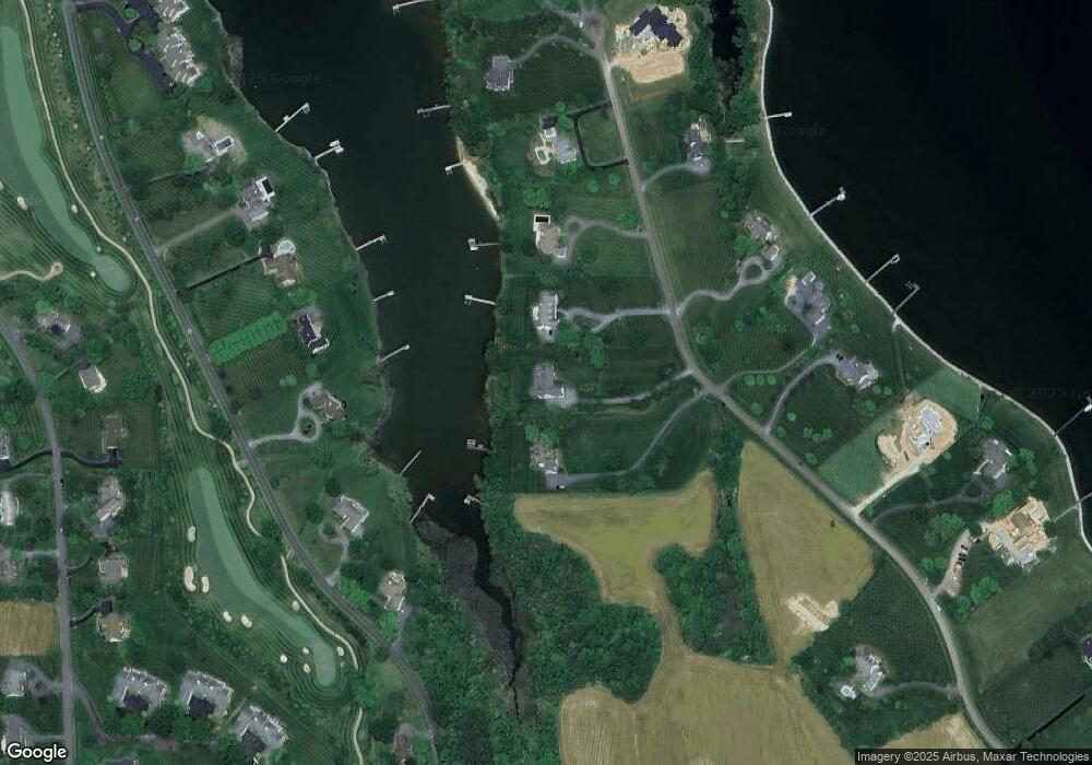
Map
Nearby Homes
- 9545 Quail Hollow Dr Unit 205
- 9518 Quail Hollow Dr Unit 702
- 9791 Pintail Place
- 24354 Widgeon Place Unit 20
- 24345 Widgeon Place Unit 25
- 24700 Deepwater Point Dr Unit 1
- 0 Deepwater Point Dr
- 24749 Swan Rd
- 24822 Swan Rd
- 9206 Martingham Dr
- 9180 Saint Michaels Rd
- 24645 Long Haul Rd
- 228 Perry Cabin Dr Unit 228 / 226
- 101 Brooks Ln
- 216 Brooks Ln
- 408 Spinnaker Ln
- 209 Webb Ln
- 205 Cherry St
- 117 Chesapeake Ave
- 111 Gloria Ave
- 24545 New Post Rd
- 24563 New Post Rd
- 24537 New Post Rd
- 9816 Martingham Cir
- 24519 New Post Rd
- 9822 Martingham Cir
- 9826 Martingham Cir
- 9810 Martingham Cir
- 24548 New Post Rd
- 24564 New Post Rd
- 24526 New Post Rd
- 9806 Martingham Cir
- 24580 New Post Rd
- 24509 New Post Rd
- 0 New Post Rd Unit 1007911954
- 0 New Post Rd Unit 1007091308
- 0 New Post Rd Unit 1006851236
- 0 New Post Rd Unit 1003750319
- 0 New Post Rd Unit TA9945180
- 0 New Post Rd Unit TA8292613
Your Personal Tour Guide
Ask me questions while you tour the home.