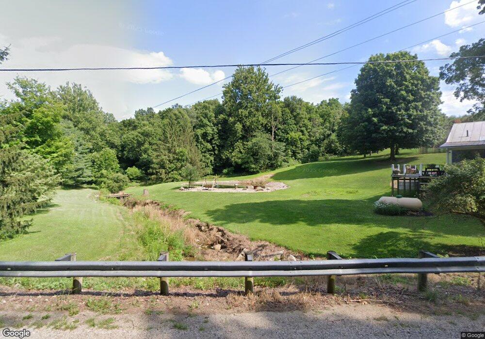
2457 County Road 377 Loudonville, OH 44842
Estimated Value: $244,451 - $344,000
3
Beds
1
Bath
1,560
Sq Ft
$190/Sq Ft
Est. Value
About This Home
This home is located at 2457 County Road 377, Loudonville, OH 44842 and is currently estimated at $297,113, approximately $190 per square foot. 2457 County Road 377 is a home located in Ashland County with nearby schools including McMullen Elementary School, Budd Elementary School, and Loudonville High School.
Ownership History
Date
Name
Owned For
Owner Type
Purchase Details
Closed on
Jun 16, 2016
Sold by
Smith Christopher L
Bought by
Mills Kyle L and Mills Holly L
Current Estimated Value
Home Financials for this Owner
Home Financials are based on the most recent Mortgage that was taken out on this home.
Original Mortgage
$63,750
Outstanding Balance
$28,527
Interest Rate
3.57%
Mortgage Type
New Conventional
Estimated Equity
$268,586
Purchase Details
Closed on
Dec 19, 2007
Bought by
Smith Christopher L
Create a Home Valuation Report for This Property
The Home Valuation Report is an in-depth analysis detailing your home's value as well as a comparison with similar homes in the area
Home Values in the Area
Average Home Value in this Area
Purchase History
| Date | Buyer | Sale Price | Title Company |
|---|---|---|---|
| Mills Kyle L | $85,000 | Attorney Only | |
| Smith Christopher L | $81,000 | -- |
Source: Public Records
Mortgage History
| Date | Status | Borrower | Loan Amount |
|---|---|---|---|
| Open | Mills Kyle L | $63,750 |
Source: Public Records
Tax History Compared to Growth
Tax History
| Year | Tax Paid | Tax Assessment Tax Assessment Total Assessment is a certain percentage of the fair market value that is determined by local assessors to be the total taxable value of land and additions on the property. | Land | Improvement |
|---|---|---|---|---|
| 2024 | $2,216 | $57,180 | $14,030 | $43,150 |
| 2023 | $2,216 | $57,180 | $14,030 | $43,150 |
| 2022 | $1,727 | $39,430 | $9,670 | $29,760 |
| 2021 | $1,751 | $39,430 | $9,670 | $29,760 |
| 2020 | $1,648 | $39,430 | $9,670 | $29,760 |
| 2019 | $1,503 | $36,030 | $9,330 | $26,700 |
| 2018 | $1,512 | $36,030 | $9,330 | $26,700 |
| 2017 | $1,296 | $36,030 | $9,330 | $26,700 |
| 2016 | $1,296 | $31,890 | $8,260 | $23,630 |
| 2015 | $1,287 | $31,890 | $8,260 | $23,630 |
| 2013 | $1,336 | $32,480 | $7,640 | $24,840 |
Source: Public Records
Map
Nearby Homes
- 560 Township Road 2402
- 609 Ohio 95
- 2818 Township Road 2812
- 0 Ashland County Road 2175
- 0 Ashland County Road 2175
- 112 Ohio 95
- 2057 State Route 89
- 1406 Pearl Dr
- 500 Stone Meadow Cir
- 518 Snyder Dr
- 524 N Union St
- 723 Pearl Dr
- 526 E Campbell St
- 333 E Campbell St
- 316 E Campbell St
- 513 N Mount Vernon Ave
- 0 Township Road 925
- 14602 Township Road 469
- 2471 County Road 377
- 2489 County Road 377
- 0 County Road 377
- 2415 County Road 377
- 411 Township Road 2402
- 2500 Township Road 327
- 333 Township Road 2450
- 334 Township Road 2422
- 2464 Township Road 327
- 2458 Township Road 327
- 412 Township Road 2402
- 328 Township Road 2450
- 421 Township Road 2402
- 421 Lake Township Rd
- 457 Twp Rd
- 2436 Township Road 457
- 434 Township Road 2402
- 362 Cr 2575
- 2454 Township Road 457
- 2479 Township Road 327