246 Dover Point Rd Dover, NH 03820
Dover Point NeighborhoodEstimated Value: $1,652,000 - $2,023,896
3
Beds
4
Baths
3,050
Sq Ft
$615/Sq Ft
Est. Value
About This Home
This home is located at 246 Dover Point Rd, Dover, NH 03820 and is currently estimated at $1,876,632, approximately $615 per square foot. 246 Dover Point Rd is a home located in Strafford County with nearby schools including Garrison School, Dover Middle School, and Dover Senior High School.
Ownership History
Date
Name
Owned For
Owner Type
Purchase Details
Closed on
Aug 27, 2002
Sold by
Clark Michael R and Clark Gail L
Bought by
Peterson Stephan L and Peterson Jenifer L
Current Estimated Value
Home Financials for this Owner
Home Financials are based on the most recent Mortgage that was taken out on this home.
Original Mortgage
$524,600
Outstanding Balance
$224,413
Interest Rate
6.57%
Estimated Equity
$1,652,219
Purchase Details
Closed on
Jul 3, 1997
Sold by
Gibbs Stephen
Bought by
Yetman Gail L
Create a Home Valuation Report for This Property
The Home Valuation Report is an in-depth analysis detailing your home's value as well as a comparison with similar homes in the area
Home Values in the Area
Average Home Value in this Area
Purchase History
| Date | Buyer | Sale Price | Title Company |
|---|---|---|---|
| Peterson Stephan L | $860,000 | -- | |
| Yetman Gail L | $141,000 | -- |
Source: Public Records
Mortgage History
| Date | Status | Borrower | Loan Amount |
|---|---|---|---|
| Open | Yetman Gail L | $200,000 | |
| Open | Yetman Gail L | $524,600 |
Source: Public Records
Tax History Compared to Growth
Tax History
| Year | Tax Paid | Tax Assessment Tax Assessment Total Assessment is a certain percentage of the fair market value that is determined by local assessors to be the total taxable value of land and additions on the property. | Land | Improvement |
|---|---|---|---|---|
| 2024 | $29,735 | $1,636,500 | $593,500 | $1,043,000 |
| 2023 | $26,457 | $1,414,800 | $498,400 | $916,400 |
| 2022 | $25,865 | $1,303,700 | $476,700 | $827,000 |
| 2021 | $24,892 | $1,147,100 | $410,000 | $737,100 |
| 2020 | $24,385 | $981,300 | $368,600 | $612,700 |
| 2019 | $23,961 | $951,200 | $351,100 | $600,100 |
| 2018 | $23,113 | $927,500 | $333,400 | $594,100 |
| 2017 | $22,621 | $874,400 | $297,900 | $576,500 |
| 2016 | $21,334 | $811,500 | $295,300 | $516,200 |
| 2015 | $21,235 | $798,000 | $294,500 | $503,500 |
| 2014 | $20,756 | $798,000 | $294,500 | $503,500 |
| 2011 | $18,815 | $749,000 | $273,600 | $475,400 |
Source: Public Records
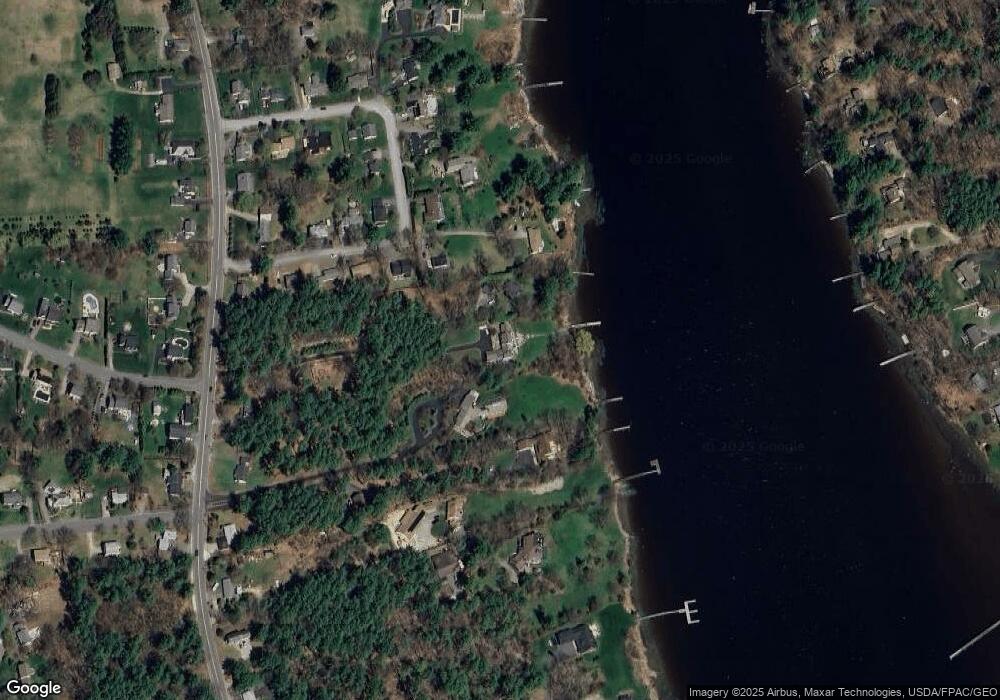
Map
Nearby Homes
- Slip B18 Little Bay
- 4 Shore Ln
- 708 River Rd Unit 2
- 708 River Rd Unit 3
- 25 Fosters Dr
- 41 Clearwater Dr
- 0 Cote Dr Unit 55B
- 348 Dover Point Rd
- 354 Dover Point Rd
- 18 Governor Hill Rd
- 1708 State Rd
- 18 Little Bay Dr
- 69 Polly Ann Trailer Park
- 82 Stacy Ln
- Lot 2 Cedar Tbd
- 10 Pasture Hill Dr
- 3 Greenfield Dr Unit C
- 19 Lenox Dr Unit A
- 9 Old Colony Rd
- 25 Heritage Dr
- 244 Dover Point Rd
- Lot 12 Shore Ln
- 18 Roberts Rd
- 254 Dover Point Rd
- 252 Dover Point Rd
- 16 Roberts Rd
- 20 Roberts Rd
- 20A Roberts Rd
- 19 Roberts Rd
- 14 Roberts Rd
- 22 Roberts Rd
- 21 Roberts Rd
- 5 Forsythia Dr
- 12 Roberts Rd
- 24 Roberts Rd
- 7 Roberts Rd
- 23 Roberts Rd
- 248 Dover Point Rd
- 10A Roberts Rd
- 10 Roberts Rd