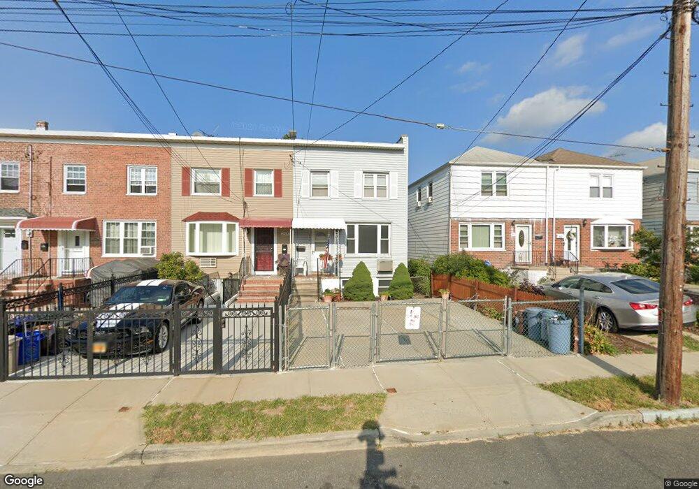
246 Swinton Ave Bronx, NY 10465
Throgs Neck-Edgewater Park NeighborhoodEstimated Value: $577,585 - $679,000
Studio
--
Bath
1,080
Sq Ft
$593/Sq Ft
Est. Value
About This Home
This home is located at 246 Swinton Ave, Bronx, NY 10465 and is currently estimated at $640,396, approximately $592 per square foot. 246 Swinton Ave is a home located in Bronx County with nearby schools including P.S. 72 - Dr. William Dorney, Herbert H Lehman High School, and St. Frances de Chantal School.
Ownership History
Date
Name
Owned For
Owner Type
Purchase Details
Closed on
Jul 28, 1999
Sold by
Kerrigan Linda M and Gregorio Denise M
Bought by
Maldonado Jose
Current Estimated Value
Home Financials for this Owner
Home Financials are based on the most recent Mortgage that was taken out on this home.
Original Mortgage
$165,000
Interest Rate
7.68%
Create a Home Valuation Report for This Property
The Home Valuation Report is an in-depth analysis detailing your home's value as well as a comparison with similar homes in the area
Home Values in the Area
Average Home Value in this Area
Purchase History
| Date | Buyer | Sale Price | Title Company |
|---|---|---|---|
| Maldonado Jose | $185,000 | Lawyers Title Insurance Corp |
Source: Public Records
Mortgage History
| Date | Status | Borrower | Loan Amount |
|---|---|---|---|
| Previous Owner | Maldonado Jose | $165,000 |
Source: Public Records
Tax History
| Year | Tax Paid | Tax Assessment Tax Assessment Total Assessment is a certain percentage of the fair market value that is determined by local assessors to be the total taxable value of land and additions on the property. | Land | Improvement |
|---|---|---|---|---|
| 2025 | $5,419 | $28,598 | $7,394 | $21,204 |
| 2024 | $5,419 | $28,382 | $8,324 | $20,058 |
| 2023 | $5,154 | $26,777 | $7,408 | $19,369 |
| 2022 | $4,756 | $34,740 | $9,960 | $24,780 |
| 2021 | $4,712 | $31,980 | $9,960 | $22,020 |
| 2020 | $4,749 | $30,360 | $9,960 | $20,400 |
| 2019 | $4,655 | $28,500 | $9,960 | $18,540 |
| 2018 | $4,251 | $22,314 | $8,819 | $13,495 |
| 2017 | $3,992 | $21,051 | $8,650 | $12,401 |
| 2016 | $3,660 | $19,860 | $9,960 | $9,900 |
| 2015 | $2,429 | $21,960 | $10,661 | $11,299 |
| 2014 | $2,429 | $21,794 | $9,975 | $11,819 |
Source: Public Records
Map
Nearby Homes
- 249 Calhoun Ave
- 227 Calhoun Ave
- 238 Swinton Ave
- 2832 Harding Ave
- 244 Revere Ave
- 2819 Collis Place
- 4190 E Tremont Ave
- 239 Brinsmade Ave
- 2816 Collis Place
- 4246 E Tremont Ave
- 192 Huntington Ave
- 149 Revere Ave
- 310 Huntington Ave
- 2738 Miles Ave
- 278 Balcom Ave
- 285 Logan Ave
- 2730 Schurz Ave Unit N3 & N4
- 346 Brinsmade Ave
- 269 Balcom Ave
- 2780 Sampson Ave
- 248 Swinton Ave
- 244 Swinton Ave
- 250 Swinton Ave
- 242 Swinton Ave
- 252 Swinton Ave
- 240 Swinton Ave
- 254 Swinton Ave
- 245 Quincy Ave
- 256 Swinton Ave
- 241 Quincy Ave
- 247 Quincy Ave
- 239 Quincy Ave
- 236 Swinton Ave
- 249 Quincy Ave
- 258 Swinton Ave
- 237 Quincy Ave
- 251 Quincy Ave
- 234 Swinton Ave
- 255 Quincy Ave
- 260 Swinton Ave
Your Personal Tour Guide
Ask me questions while you tour the home.