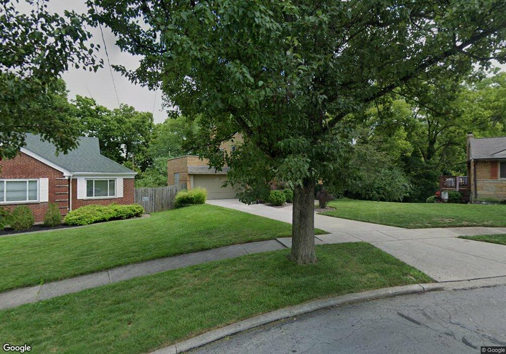
2460 Dunaway Ct Cincinnati, OH 45238
Westwood NeighborhoodEstimated Value: $134,000 - $218,000
3
Beds
3
Baths
1,828
Sq Ft
$104/Sq Ft
Est. Value
About This Home
This home is located at 2460 Dunaway Ct, Cincinnati, OH 45238 and is currently estimated at $189,202, approximately $103 per square foot. 2460 Dunaway Ct is a home located in Hamilton County with nearby schools including Midway Elementary School, Western Hills High School, and Gilbert A. Dater High School.
Ownership History
Date
Name
Owned For
Owner Type
Purchase Details
Closed on
Mar 3, 2009
Sold by
Fifth Third Bank
Bought by
Werling Jeremy M
Current Estimated Value
Purchase Details
Closed on
Apr 25, 1996
Sold by
Hansen William S and Hansen Lisa M
Bought by
Lutz William L and Ford Patsy A
Home Financials for this Owner
Home Financials are based on the most recent Mortgage that was taken out on this home.
Original Mortgage
$88,800
Interest Rate
7.91%
Create a Home Valuation Report for This Property
The Home Valuation Report is an in-depth analysis detailing your home's value as well as a comparison with similar homes in the area
Home Values in the Area
Average Home Value in this Area
Purchase History
| Date | Buyer | Sale Price | Title Company |
|---|---|---|---|
| Werling Jeremy M | $63,000 | Attorney | |
| Lutz William L | $111,000 | -- |
Source: Public Records
Mortgage History
| Date | Status | Borrower | Loan Amount |
|---|---|---|---|
| Previous Owner | Lutz William L | $88,800 |
Source: Public Records
Tax History
| Year | Tax Paid | Tax Assessment Tax Assessment Total Assessment is a certain percentage of the fair market value that is determined by local assessors to be the total taxable value of land and additions on the property. | Land | Improvement |
|---|---|---|---|---|
| 2025 | $3,123 | $50,516 | $9,839 | $40,677 |
| 2023 | $3,098 | $50,516 | $9,839 | $40,677 |
| 2022 | $1,849 | $26,937 | $7,991 | $18,946 |
| 2021 | $1,773 | $26,937 | $7,991 | $18,946 |
| 2020 | $1,825 | $26,937 | $7,991 | $18,946 |
| 2019 | $1,812 | $24,487 | $7,263 | $17,224 |
| 2018 | $1,815 | $24,487 | $7,263 | $17,224 |
| 2017 | $1,724 | $24,487 | $7,263 | $17,224 |
| 2016 | $1,513 | $21,169 | $8,404 | $12,765 |
| 2015 | $1,364 | $21,169 | $8,404 | $12,765 |
| 2014 | $1,374 | $21,169 | $8,404 | $12,765 |
| 2013 | $1,456 | $22,051 | $8,754 | $13,297 |
Source: Public Records
Map
Nearby Homes
- 2640 Gehrum Ln
- 3061 Veazey Ave
- 4730 Hardwick Dr
- 1877 Ashbrook Dr
- 4740 Green Glen Ln
- 4778 Prosperity Place
- 3124 Veazey Ave
- 3011 Westbrook Dr
- 4734 Prosperity Place
- 4730 Prosperity Place
- 3141 W Tower Ave
- 1782 Ashbrook Dr
- 1774 Ashbrook Dr
- 1762 Ashbrook Dr
- 2925 Boudinot Ave
- 2730 Queenswood Dr
- 1758 Tuxworth Ave
- 5020 Sidney Rd
- 2935 Lafeuille Ave
- 4915 Heuwerth Ave
- 2464 Dunaway Ct
- 2825 Veazey Ave
- 2476 Dunaway Ct
- 2833 Veazey Ave
- 2832 Veazey Ave
- 2841 Veazey Ave
- 2840 Veazey Ave
- 2488 Dunaway Ct
- 2849 Veazey Ave
- 2848 Veazey Ave
- 2489 Dunaway Ct
- 2494 Dunaway Ct
- 2857 Veazey Ave
- 2493 Dunaway Ct
- 2856 Veazey Ave
- 2498 Dunaway Ct
- 2497 Dunaway Ct
- 2865 Veazey Ave
- 2706 E Tower Dr
- 2864 Veazey Ave
Your Personal Tour Guide
Ask me questions while you tour the home.