24619 163rd St Leavenworth, KS 66048
Estimated Value: $479,000 - $544,495
6
Beds
3
Baths
1,818
Sq Ft
$285/Sq Ft
Est. Value
About This Home
This home is located at 24619 163rd St, Leavenworth, KS 66048 and is currently estimated at $517,624, approximately $284 per square foot. 24619 163rd St is a home located in Leavenworth County with nearby schools including Lansing Elementary School, Lansing Middle 6-8, and Lansing High 9-12.
Ownership History
Date
Name
Owned For
Owner Type
Purchase Details
Closed on
Jun 7, 2017
Sold by
Campbell Cynthia C
Bought by
Worrall Casey M
Current Estimated Value
Home Financials for this Owner
Home Financials are based on the most recent Mortgage that was taken out on this home.
Original Mortgage
$254,883
Outstanding Balance
$133,874
Interest Rate
4.05%
Mortgage Type
New Conventional
Estimated Equity
$383,750
Create a Home Valuation Report for This Property
The Home Valuation Report is an in-depth analysis detailing your home's value as well as a comparison with similar homes in the area
Home Values in the Area
Average Home Value in this Area
Purchase History
| Date | Buyer | Sale Price | Title Company |
|---|---|---|---|
| Worrall Casey M | $318,603 | Accurate Title Co Llc |
Source: Public Records
Mortgage History
| Date | Status | Borrower | Loan Amount |
|---|---|---|---|
| Open | Worrall Casey M | $254,883 |
Source: Public Records
Tax History Compared to Growth
Tax History
| Year | Tax Paid | Tax Assessment Tax Assessment Total Assessment is a certain percentage of the fair market value that is determined by local assessors to be the total taxable value of land and additions on the property. | Land | Improvement |
|---|---|---|---|---|
| 2025 | $6,655 | $59,504 | $13,151 | $46,353 |
| 2024 | $6,156 | $58,219 | $11,586 | $46,633 |
| 2023 | $6,156 | $56,495 | $11,586 | $44,909 |
| 2022 | $5,669 | $50,272 | $9,805 | $40,467 |
| 2021 | $5,085 | $44,603 | $8,942 | $35,661 |
| 2020 | $4,947 | $42,703 | $8,557 | $34,146 |
| 2019 | $4,766 | $41,071 | $8,171 | $32,900 |
| 2018 | $4,214 | $36,379 | $7,143 | $29,236 |
| 2017 | $4,207 | $36,191 | $7,015 | $29,176 |
| 2016 | $4,232 | $36,459 | $6,889 | $29,570 |
| 2015 | $4,097 | $35,439 | $6,889 | $28,550 |
| 2014 | $4,032 | $35,503 | $6,889 | $28,614 |
Source: Public Records
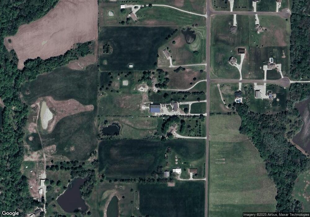
Map
Nearby Homes
- 16430 Dana Ln
- 24450 171st St
- 00000 Gilman Rd
- Lot 6 163rd St
- 25770 Tonganoxie Dr
- 25030 177th Terrace
- 17860 Clearview Dr
- 25055 Woodridge Cir
- 15280 Roger Rd
- 1221 S Desoto Rd
- 833 Rock Creek Dr
- 875 Clearview Dr
- 15331 Price Rd
- 705 Rock Creek Dr
- 000 4-H Rd
- 811 4-H Rd
- 22617 155th St
- 15038 Fairmount Rd
- 14934 Fairmount Rd
- 922 Southfork St
- 24575 163rd St
- 24649 163rd St
- 24673 163rd St
- 24503 163rd St
- 16261 Leo Cir
- 16260 Leo Cir
- 24747 163rd St
- 16221 Leo Cir
- 16261 Hollie Cir
- 16220 Leo Cir
- 24785 163rd St
- 16374 Mcintyre Rd
- 16221 Hollie Cir
- 16420 Mcintyre Rd
- 16260 Hollie Cir
- 16220 Hollie Cir
- 16664 Mcintyre Rd
- 24802 163rd St
- 16421 Mcintyre Rd
- 24830 163rd St