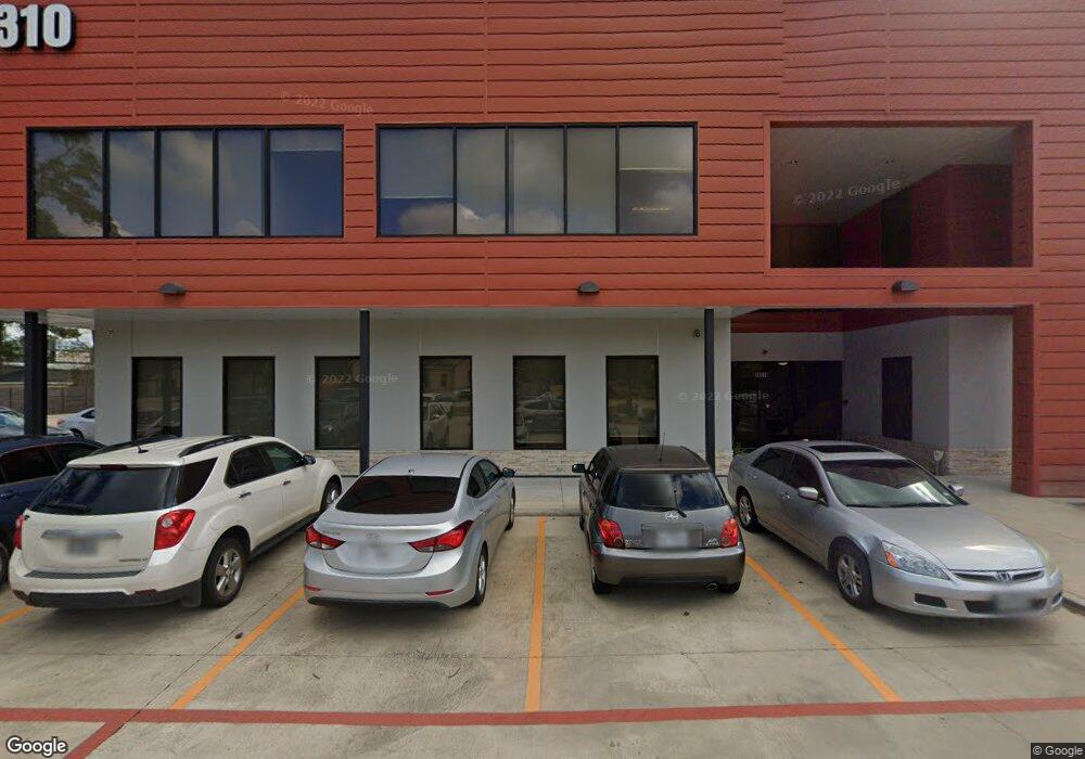
24624 Interstate 45 Oak Ridge North, TX 77386
Estimated Value: $500,251
--
Bed
2
Baths
66,420
Sq Ft
$8/Sq Ft
Est. Value
About This Home
This home is located at 24624 Interstate 45, Oak Ridge North, TX 77386 and is currently priced at $500,251, approximately $7 per square foot. 24624 Interstate 45 is a home located in Montgomery County with nearby schools including A. Davis Ford Elementary School, Vogel Intermediate School, and Irons J High School.
Ownership History
Date
Name
Owned For
Owner Type
Purchase Details
Closed on
May 11, 2007
Sold by
Chalice Well Llc
Bought by
Pha Houston
Current Estimated Value
Purchase Details
Closed on
Jan 4, 2005
Sold by
Fenley Elizabeth Anne
Bought by
Chalice Well Llc
Home Financials for this Owner
Home Financials are based on the most recent Mortgage that was taken out on this home.
Original Mortgage
$55,000
Interest Rate
5.74%
Mortgage Type
Purchase Money Mortgage
Purchase Details
Closed on
Sep 1, 1982
Bought by
Pha Houston
Create a Home Valuation Report for This Property
The Home Valuation Report is an in-depth analysis detailing your home's value as well as a comparison with similar homes in the area
Home Values in the Area
Average Home Value in this Area
Purchase History
| Date | Buyer | Sale Price | Title Company |
|---|---|---|---|
| Pha Houston | -- | -- | |
| Chalice Well Llc | -- | Alamo Title Company | |
| Pha Houston | -- | -- | |
| Pha Houston | -- | -- |
Source: Public Records
Mortgage History
| Date | Status | Borrower | Loan Amount |
|---|---|---|---|
| Previous Owner | Pha Houston | $55,000 |
Source: Public Records
Tax History Compared to Growth
Tax History
| Year | Tax Paid | Tax Assessment Tax Assessment Total Assessment is a certain percentage of the fair market value that is determined by local assessors to be the total taxable value of land and additions on the property. | Land | Improvement |
|---|---|---|---|---|
| 2025 | $151,534 | $10,600,000 | $5,700,900 | $4,899,100 |
| 2024 | $151,752 | $8,743,000 | $3,420,540 | $5,322,460 |
| 2023 | $151,752 | $8,743,000 | $3,420,540 | $5,322,460 |
| 2022 | $162,904 | $8,596,080 | $3,420,540 | $5,175,540 |
| 2021 | $172,669 | $8,596,080 | $3,420,540 | $5,175,540 |
| 2020 | $175,340 | $8,332,860 | $3,420,540 | $4,912,320 |
| 2019 | $151,029 | $6,945,770 | $3,420,540 | $3,525,230 |
| 2018 | $193,746 | $8,910,340 | $3,420,540 | $5,489,800 |
| 2017 | $208,515 | $9,575,460 | $2,280,360 | $7,295,100 |
| 2016 | $220,809 | $10,140,000 | $2,280,360 | $7,859,640 |
| 2015 | $242,783 | $10,161,860 | $2,280,360 | $7,881,500 |
| 2014 | $242,783 | $10,793,250 | $1,254,200 | $9,539,050 |
Source: Public Records
Map
Nearby Homes
- 25206 Spring Ridge Dr
- 25206 #5 Spring Ridge Dr
- 907 Morley Park Ln
- 915 Saginaw Bay Ct
- 25131 Alina Ln
- 25142 Andris Ln
- 24219 Pinecreek Point
- 427 Pinewood Ridge Dr
- 713 Sawdust Rd
- 62 Laughing Brook Ct
- 71 Timberspire Ln
- 1302 Spring Creek Dr
- 1231 Pruitt Rd
- 1010 Stillgate Ct
- 1006 Stillgate Ct
- 323 Spring Woods Dr
- 56 N Morningwood Ct
- 40 N Morningwood Ct
- 25619 Oakridge Forest Ln
- 98 S Dreamweaver Cir
- 210 Spring Hill Dr Unit 110
- 100 Spring Hill Dr Unit 5
- 24426 Interstate 45
- 201 Pruitt Rd
- 201 Pruitt Rd Unit 532
- 201 Pruitt Rd Unit 133
- 201 Pruitt Rd Unit 731
- 201 Pruitt Rd Unit 1130
- 201 Pruitt Rd Unit 832
- 201 Pruitt Rd Unit 821
- 201 Pruitt Rd Unit 924
- 201 Pruitt Rd Unit 435
- 201 Pruitt Rd Unit 621
- 201 Pruitt Rd Unit 615
- 201 Pruitt Rd Unit 331
- 201 Pruitt Rd Unit 334
- 201 Pruitt Rd Unit 222
- 201 Pruitt Rd Unit 221
- 201 Pruitt Rd Unit 213
- 201 Pruitt Rd Unit 234