Estimated Value: $307,000 - $385,931
1
Bed
1
Bath
1,764
Sq Ft
$195/Sq Ft
Est. Value
About This Home
This home is located at 2464 Kerr Rd, Lucas, OH 44843 and is currently estimated at $343,733, approximately $194 per square foot. 2464 Kerr Rd is a home located in Richland County with nearby schools including Lucas Elementary School, Lucas Heritage Middle School, and Lucas High School.
Ownership History
Date
Name
Owned For
Owner Type
Purchase Details
Closed on
Apr 24, 2008
Sold by
Federal Home Loan Mortgage Corporation
Bought by
Becherer David
Current Estimated Value
Purchase Details
Closed on
Mar 31, 2008
Sold by
Ganfield Robert and Abn Amro Mortgage Group Inc
Bought by
Federal Home Loan Mortgage Corporation
Purchase Details
Closed on
Jun 1, 2000
Sold by
Miller Charles W
Bought by
Ganfield Robert W
Home Financials for this Owner
Home Financials are based on the most recent Mortgage that was taken out on this home.
Original Mortgage
$139,500
Interest Rate
7.75%
Mortgage Type
New Conventional
Create a Home Valuation Report for This Property
The Home Valuation Report is an in-depth analysis detailing your home's value as well as a comparison with similar homes in the area
Home Values in the Area
Average Home Value in this Area
Purchase History
| Date | Buyer | Sale Price | Title Company |
|---|---|---|---|
| Becherer David | -- | Attorney | |
| Federal Home Loan Mortgage Corporation | $100,000 | Attorney | |
| Ganfield Robert W | $155,000 | -- |
Source: Public Records
Mortgage History
| Date | Status | Borrower | Loan Amount |
|---|---|---|---|
| Previous Owner | Ganfield Robert W | $139,500 |
Source: Public Records
Tax History Compared to Growth
Tax History
| Year | Tax Paid | Tax Assessment Tax Assessment Total Assessment is a certain percentage of the fair market value that is determined by local assessors to be the total taxable value of land and additions on the property. | Land | Improvement |
|---|---|---|---|---|
| 2024 | $3,504 | $83,370 | $16,850 | $66,520 |
| 2023 | $3,504 | $83,370 | $16,850 | $66,520 |
| 2022 | $3,167 | $67,260 | $15,070 | $52,190 |
| 2021 | $3,173 | $67,260 | $15,070 | $52,190 |
| 2020 | $3,225 | $67,260 | $15,070 | $52,190 |
| 2019 | $2,921 | $57,260 | $12,770 | $44,490 |
| 2018 | $2,567 | $47,780 | $12,770 | $35,010 |
| 2017 | $2,369 | $43,300 | $12,770 | $30,530 |
| 2016 | $2,396 | $44,800 | $11,610 | $33,190 |
| 2015 | $2,395 | $44,800 | $11,610 | $33,190 |
| 2014 | $2,408 | $44,800 | $11,610 | $33,190 |
| 2012 | $1,187 | $44,800 | $11,610 | $33,190 |
Source: Public Records
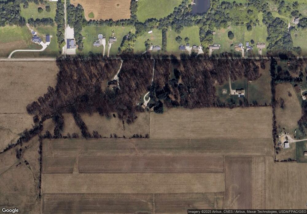
Map
Nearby Homes
- 174 W Main St
- 27 E Main St
- 0 Moffett Rd
- 1679 Pulver Rd
- 0 Mount Zion Rd Unit 9069748
- 0 State Route 39 & I-71 Northeast Quadrant
- 0 State Route 39 & I-71 Southeast Quadrant
- 0 Peterson Rd
- 1875 Mansfield Lucas Rd
- 929 Antionette Dr
- 2061 Washington North Rd
- 2905 Tucker Rd
- 1135 E Hanley Rd
- 0 McBride Road Parcel # 1 Unit 9066028
- 2750 Lutz Ave
- 0 Applegate Rd
- 76 Ford Rd N
- 3261 Moffett Rd
- 0 Mcelroy Rd
- 0 Garver Rd Washington Rd S Unit 20253648