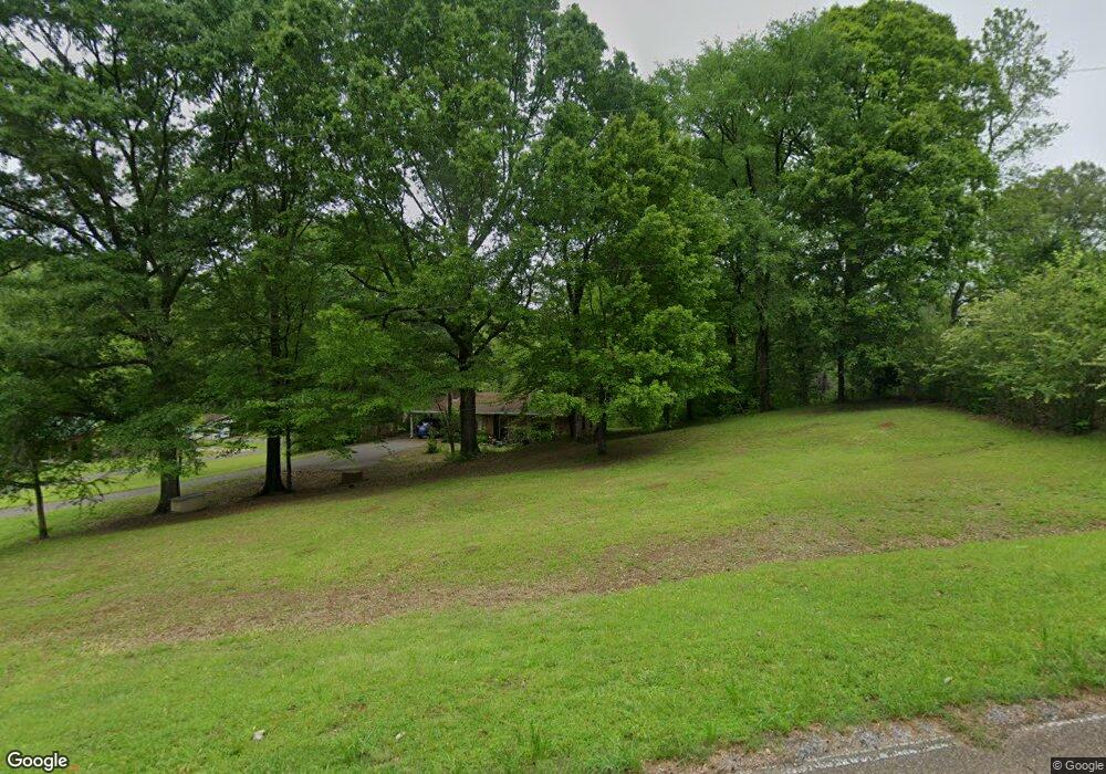
2465 Rifle Range Rd Coldwater, MS 38618
Estimated Value: $159,000 - $312,000
2
Beds
1
Bath
1,050
Sq Ft
$212/Sq Ft
Est. Value
About This Home
This home is located at 2465 Rifle Range Rd, Coldwater, MS 38618 and is currently estimated at $222,550, approximately $211 per square foot. 2465 Rifle Range Rd is a home located in Tate County with nearby schools including Calvary Baptist School.
Ownership History
Date
Name
Owned For
Owner Type
Purchase Details
Closed on
Jun 23, 2006
Sold by
Chigger Ridge Of Mississippi Llc
Bought by
Crawford William M
Current Estimated Value
Home Financials for this Owner
Home Financials are based on the most recent Mortgage that was taken out on this home.
Original Mortgage
$75,600
Outstanding Balance
$43,969
Interest Rate
6.57%
Estimated Equity
$178,581
Purchase Details
Closed on
Apr 21, 2005
Sold by
Skeen Faye G
Bought by
Chigger Ridge Of Mississippi Llc
Create a Home Valuation Report for This Property
The Home Valuation Report is an in-depth analysis detailing your home's value as well as a comparison with similar homes in the area
Home Values in the Area
Average Home Value in this Area
Purchase History
| Date | Buyer | Sale Price | Title Company |
|---|---|---|---|
| Crawford William M | -- | -- | |
| Chigger Ridge Of Mississippi Llc | -- | -- |
Source: Public Records
Mortgage History
| Date | Status | Borrower | Loan Amount |
|---|---|---|---|
| Open | Chigger Ridge Of Mississippi Llc | $75,600 | |
| Closed | Chigger Ridge Of Mississippi Llc | $18,900 |
Source: Public Records
Tax History
| Year | Tax Paid | Tax Assessment Tax Assessment Total Assessment is a certain percentage of the fair market value that is determined by local assessors to be the total taxable value of land and additions on the property. | Land | Improvement |
|---|---|---|---|---|
| 2025 | $563 | $6,857 | $1,600 | $5,257 |
| 2024 | $511 | $5,443 | $1,600 | $3,843 |
| 2023 | $511 | $5,443 | $1,600 | $3,843 |
| 2022 | $496 | $5,443 | $1,600 | $3,843 |
| 2021 | $523 | $5,443 | $1,600 | $3,843 |
| 2020 | $543 | $5,167 | $1,600 | $3,567 |
| 2019 | $571 | $5,167 | $1,600 | $3,567 |
| 2018 | $578 | $5,167 | $1,600 | $3,567 |
| 2017 | $578 | $5,167 | $1,600 | $3,567 |
| 2016 | $579 | $5,062 | $1,600 | $3,462 |
| 2015 | -- | $5,062 | $1,600 | $3,462 |
| 2014 | -- | $5,062 | $1,600 | $3,462 |
| 2013 | -- | $5,062 | $1,600 | $3,462 |
Source: Public Records
Map
Nearby Homes
- 489 Peyton Rd
- On Peyton Rd
- 106 Oakwood Dr
- 448 Oakley Rd
- 586 Central Ave
- 0 Highway 51 N Unit 4136279
- 9170 U S Highway 51
- 114 McGeehee Rd
- 206 Swan Lake Dr
- 0 Flower Cir
- 0 Swan Lake Dr
- 302 Bowden St
- 208 Bowden St
- 00 Swan Lake Dr
- 713 West St
- 429 Quail Ridge Rd
- 0 Stage Rd Unit 4084107
- 152 Oak Manor Dr
- 107 E Tate St
- 203 E Tate St
- 2463 Rifle Range Rd
- 2381 Rifle Range Rd
- 2380 Rifle Range Rd
- 2692 Rifle Range Rd
- 2709 Rifle Range Rd
- 1857 David Rd
- 2276 Rifle Range Rd
- 154 Camille Rd
- 2816 Rifle Range Rd
- 2274 Rifle Range Rd
- 1960 David Rd
- 98 Camille Rd
- 226 Camille Rd
- 1828 David Rd Unit 1
- 1828 David Rd
- 135 Camille Rd
- 386 Camille Rd
- 28 Camille Rd
- 1790 David Rd
- 1752 David Rd
Your Personal Tour Guide
Ask me questions while you tour the home.