2466 Pheasant Ridge St Umatilla, OR 97882
Estimated Value: $220,000 - $279,119
3
Beds
2
Baths
1,120
Sq Ft
$223/Sq Ft
Est. Value
About This Home
This home is located at 2466 Pheasant Ridge St, Umatilla, OR 97882 and is currently estimated at $250,030, approximately $223 per square foot. 2466 Pheasant Ridge St is a home located in Umatilla County with nearby schools including McNary Heights Elementary School, Clara Brownell Middle School, and Umatilla High School.
Ownership History
Date
Name
Owned For
Owner Type
Purchase Details
Closed on
Sep 26, 2024
Sold by
Trott David P
Bought by
Paschal Tiffany and Day Charles T
Current Estimated Value
Home Financials for this Owner
Home Financials are based on the most recent Mortgage that was taken out on this home.
Original Mortgage
$220,924
Outstanding Balance
$218,662
Interest Rate
6.49%
Mortgage Type
FHA
Estimated Equity
$31,368
Create a Home Valuation Report for This Property
The Home Valuation Report is an in-depth analysis detailing your home's value as well as a comparison with similar homes in the area
Home Values in the Area
Average Home Value in this Area
Purchase History
| Date | Buyer | Sale Price | Title Company |
|---|---|---|---|
| Paschal Tiffany | $225,000 | Amerititle |
Source: Public Records
Mortgage History
| Date | Status | Borrower | Loan Amount |
|---|---|---|---|
| Open | Paschal Tiffany | $220,924 |
Source: Public Records
Tax History Compared to Growth
Tax History
| Year | Tax Paid | Tax Assessment Tax Assessment Total Assessment is a certain percentage of the fair market value that is determined by local assessors to be the total taxable value of land and additions on the property. | Land | Improvement |
|---|---|---|---|---|
| 2024 | $2,124 | $129,420 | $37,080 | $92,340 |
| 2023 | $2,040 | $125,660 | $36,000 | $89,660 |
| 2022 | $1,847 | $122,000 | $0 | $0 |
| 2021 | $1,811 | $118,450 | $33,940 | $84,510 |
| 2020 | $1,677 | $115,000 | $32,950 | $82,050 |
| 2018 | $1,751 | $108,410 | $31,050 | $77,360 |
| 2017 | $1,720 | $105,260 | $30,150 | $75,110 |
| 2016 | $1,714 | $102,200 | $29,280 | $72,920 |
| 2015 | $1,671 | $93,540 | $26,800 | $66,740 |
| 2014 | $1,646 | $93,540 | $26,800 | $66,740 |
Source: Public Records
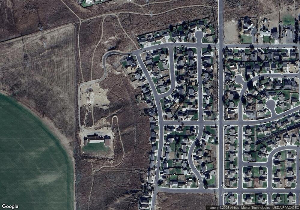
Map
Nearby Homes
- 245 Chukar Cir
- 411 Bobwhite Ave
- 431 Riley Ave
- 25 Roosevelt Ave Unit 12
- 0000 Roosevelt St Unit 7
- 1690 Hayes St Unit 32
- 131 Michelle Ave
- 0 5n2820-00-02205 Unit 637599873
- 107 Michelle Ave
- 370 Monroe St
- 1635 Hayes St
- 110 Truman Ave
- 55 Truman Ave
- 225 Truman Dr
- 000 Jackson St
- 175 Truman Dr
- 546 Taft St
- 578 Taft St
- 497 Taft St
- 513 Taft St
- 2488 Pheasant Ridge St
- 2444 Pheasant Ridge St
- 2522 Pheasant Ridge St
- 2422 Pheasant Ridge St
- 2477 Blue Bird Dr
- 2544 Pheasant Ridge St
- 2388 Pheasant Ridge St
- 2460 Blue Bird Dr
- 2533 Pheasant Ridge St
- 2566 Pheasant Ridge St
- 2433 Pheasant Ridge St
- 2471 Blue Bird Dr
- 2366 Pheasant Ridge St
- 2377 Pheasant Ridge St
- 188 Sparrow Ave
- 2588 Pheasant Ridge St
- 211 Sparrow Ave
- 2355 Pheasant Ridge St
- 2439 Blue Bird Dr
- 0 No Situs Address Unit 20482612