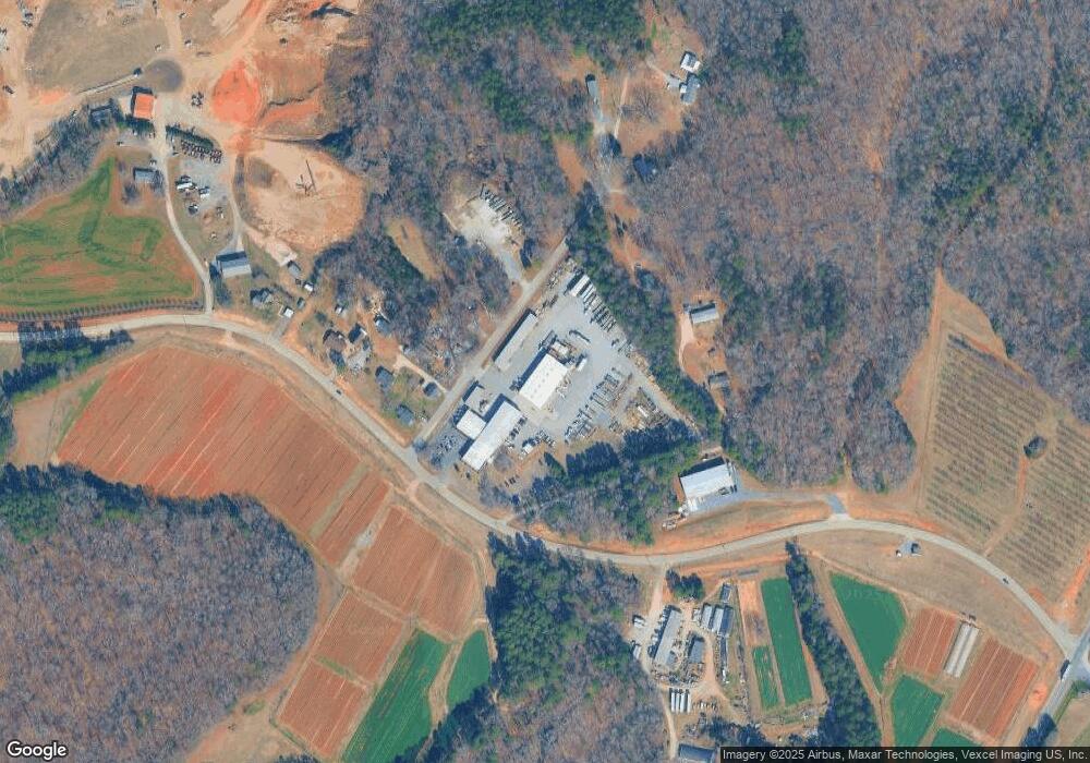
2467 Coltharp Rd Fort Mill, SC 29715
Estimated Value: $276,000 - $407,000
--
Bed
1
Bath
1,488
Sq Ft
$221/Sq Ft
Est. Value
About This Home
This home is located at 2467 Coltharp Rd, Fort Mill, SC 29715 and is currently estimated at $328,687, approximately $220 per square foot. 2467 Coltharp Rd is a home located in York County with nearby schools including Springfield Elementary School, Springfield Middle School, and Nation Ford High School.
Ownership History
Date
Name
Owned For
Owner Type
Purchase Details
Closed on
Feb 10, 2017
Sold by
Taylor Kimberly Ann and Taylor Marvin R
Bought by
Coltharp William Ira and Doris M Coltharp Family Limited Partners
Current Estimated Value
Purchase Details
Closed on
Jul 26, 2012
Sold by
Taylor Kimberly Ann and Taylor Marvin R
Bought by
Taylor Kimberly Ann and Taylor Marvin R
Purchase Details
Closed on
Sep 28, 2006
Sold by
Taylor Marvin R
Bought by
Taylor Kimberly Ann
Create a Home Valuation Report for This Property
The Home Valuation Report is an in-depth analysis detailing your home's value as well as a comparison with similar homes in the area
Home Values in the Area
Average Home Value in this Area
Purchase History
| Date | Buyer | Sale Price | Title Company |
|---|---|---|---|
| Coltharp William Ira | $385,000 | None Available | |
| Taylor Kimberly Ann | -- | -- | |
| Taylor Kimberly Ann | -- | None Available |
Source: Public Records
Tax History Compared to Growth
Tax History
| Year | Tax Paid | Tax Assessment Tax Assessment Total Assessment is a certain percentage of the fair market value that is determined by local assessors to be the total taxable value of land and additions on the property. | Land | Improvement |
|---|---|---|---|---|
| 2024 | $4,533 | $9,177 | $3,546 | $5,631 |
| 2023 | $4,282 | $9,177 | $3,546 | $5,631 |
| 2022 | $3,956 | $9,177 | $3,546 | $5,631 |
| 2021 | -- | $9,177 | $3,546 | $5,631 |
| 2020 | $3,813 | $9,177 | $0 | $0 |
| 2019 | $3,546 | $7,980 | $0 | $0 |
| 2018 | $3,535 | $7,980 | $0 | $0 |
| 2017 | $2,726 | $6,450 | $0 | $0 |
| 2016 | $2,639 | $6,450 | $0 | $0 |
| 2014 | $2,151 | $6,450 | $2,400 | $4,050 |
| 2013 | $2,151 | $6,690 | $2,400 | $4,290 |
Source: Public Records
Map
Nearby Homes
- 000 Us Highway 21
- 414 Hampton Trail Dr
- 240 Hampton Trail Dr
- 5212 Meadowcroft Way
- 571 Palmarosa St Unit 130
- 5401 Meadowcroft Way
- The Falcon Plan at Southbridge - Camryn
- The Knight Plan at Southbridge - Camryn
- 486 Nash St
- 496 Nash St
- 485 Nash St
- 501 Nash St
- 492 Nash St
- 489 Nash St
- 497 Nash St
- 455 Nash St
- 493 Nash St
- 466 Nash St
- 460 Nash St
- York Plan at Southbridge - Grahym
- 2465 Coltharp Rd
- 1920 Luckadoo Rd
- 2461 Coltharp Rd
- 2457 Coltharp Rd
- 1935 Luckadoo Rd
- 2451 Coltharp Rd
- 1976 Luckadoo Rd
- 2503 Coltharp Rd
- 2515 Coltharp Rd
- 2425 Coltharp Rd
- 2000 Luckadoo Rd
- 2001 Luckadoo Rd
- 2010 Luckadoo Rd
- 9.92ac Coltharp Rd
- 2346 Coltharp Rd
- 1528 Highway 21 Bypass
- 1581 Highway 21 Bypass
- 2229 Deerfield Dr
- 2120 Coltharp Rd
- 2151 Coltharp Rd
