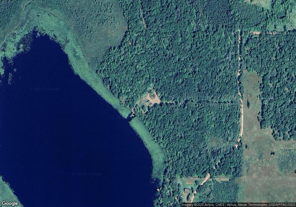
24699 Lower Dean Lake Rd Aitkin, MN 56431
Estimated Value: $487,000 - $605,000
3
Beds
2
Baths
1,240
Sq Ft
$425/Sq Ft
Est. Value
About This Home
This home is located at 24699 Lower Dean Lake Rd, Aitkin, MN 56431 and is currently estimated at $526,478, approximately $424 per square foot. 24699 Lower Dean Lake Rd is a home located in Crow Wing County with nearby schools including Rippleside Elementary School and Aitkin Secondary School.
Ownership History
Date
Name
Owned For
Owner Type
Purchase Details
Closed on
Dec 13, 2013
Sold by
Johnson Delores Delores
Bought by
Fields Mark and Fields Joni
Current Estimated Value
Home Financials for this Owner
Home Financials are based on the most recent Mortgage that was taken out on this home.
Original Mortgage
$168,000
Outstanding Balance
$125,022
Interest Rate
4.1%
Estimated Equity
$401,456
Purchase Details
Closed on
Dec 1, 2013
Sold by
Johnson Delores E
Bought by
Fields Mark A and Fields Joni L
Home Financials for this Owner
Home Financials are based on the most recent Mortgage that was taken out on this home.
Original Mortgage
$168,000
Outstanding Balance
$125,022
Interest Rate
4.1%
Estimated Equity
$401,456
Purchase Details
Closed on
Jun 1, 2004
Sold by
Johnson Ernest and Johnson Delores
Bought by
Northern Lakes Co
Create a Home Valuation Report for This Property
The Home Valuation Report is an in-depth analysis detailing your home's value as well as a comparison with similar homes in the area
Home Values in the Area
Average Home Value in this Area
Purchase History
| Date | Buyer | Sale Price | Title Company |
|---|---|---|---|
| Fields Mark | $210,000 | -- | |
| Fields Mark A | $210,000 | -- | |
| Northern Lakes Co | $7,000 | -- |
Source: Public Records
Mortgage History
| Date | Status | Borrower | Loan Amount |
|---|---|---|---|
| Open | Fields Mark | $168,000 |
Source: Public Records
Tax History Compared to Growth
Tax History
| Year | Tax Paid | Tax Assessment Tax Assessment Total Assessment is a certain percentage of the fair market value that is determined by local assessors to be the total taxable value of land and additions on the property. | Land | Improvement |
|---|---|---|---|---|
| 2025 | $2,590 | $458,200 | $248,300 | $209,900 |
| 2024 | $2,590 | $421,200 | $231,800 | $189,400 |
| 2023 | $2,458 | $378,300 | $183,800 | $194,500 |
| 2022 | $1,528 | $373,600 | $179,800 | $193,800 |
| 2021 | $1,370 | $210,400 | $113,700 | $96,700 |
| 2020 | $1,154 | $208,800 | $118,600 | $90,200 |
| 2019 | $1,406 | $187,100 | $114,600 | $72,500 |
| 2018 | $1,398 | $181,300 | $115,100 | $66,200 |
| 2017 | $2,008 | $180,600 | $115,100 | $65,500 |
| 2016 | $2,032 | $234,200 | $169,200 | $65,000 |
| 2015 | $2,340 | $263,400 | $194,100 | $69,300 |
| 2014 | $1,166 | $268,300 | $197,900 | $70,400 |
Source: Public Records
Map
Nearby Homes
- xxx County Road 32
- TBD Greer Lake Rd
- 21097 Gilmer Rd
- Lot 5 Blk 1, 5 4 Acres County Road 30
- TBD Eagle Ridge Rd
- 24357 Kennedy Dr
- TBD 3.03 Acres Mine Shaft Place
- TBD 2.58 Acres Mine Shaft Place
- TBD 2.67 Acres Tail Track Dr
- TBD 1.94 Acres Tail Track Ln
- TBD 1.61 Acres Tail Track Ln
- 23092 Iron Hub Rd
- 22952 North St
- 25749 Michelle Ln
- 26169 Paddy Ave
- 21533 S Raider Ct
- xxx Roosevelt Ave
- TBD Lot 2 Bunny Ln
- TBD Lot 1 Bunny Ln
- Tract C Olander Rd