Estimated Value: $804,325 - $1,026,000
Studio
--
Bath
1,948
Sq Ft
$465/Sq Ft
Est. Value
About This Home
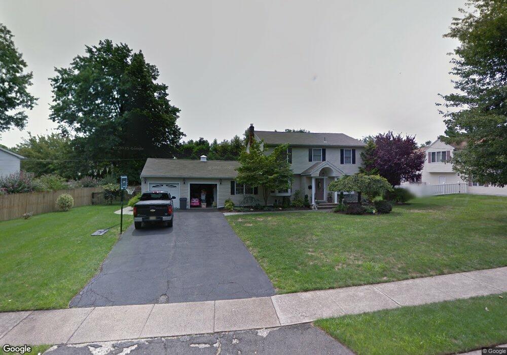
This home is located at 247 Andover Dr, Wayne, NJ 07470 and is currently estimated at $906,331, approximately $465 per square foot. 247 Andover Dr is a home located in Passaic County with nearby schools including John F. Kennedy Elementary School, Anthony Wayne Middle School, and Wayne Hills High School.
Ownership History
Date
Name
Owned For
Owner Type
Purchase Details
Closed on
Jul 30, 2008
Sold by
Riether Harold R and Riether Gloria
Bought by
Licamara Robert and Licamara Bobbi Jean
Current Estimated Value
Home Financials for this Owner
Home Financials are based on the most recent Mortgage that was taken out on this home.
Original Mortgage
$303,000
Outstanding Balance
$196,199
Interest Rate
6.4%
Mortgage Type
New Conventional
Estimated Equity
$710,132
Purchase Details
Closed on
Jul 15, 1996
Sold by
Trentacost Anthony and Trentacost Rose Ann
Bought by
Riether Harold
Home Financials for this Owner
Home Financials are based on the most recent Mortgage that was taken out on this home.
Original Mortgage
$250,000
Interest Rate
8.28%
Purchase Details
Closed on
Aug 1, 1995
Sold by
Solov Joan
Bought by
Trentacoast Anthony and Trentacoast Rose
Create a Home Valuation Report for This Property
The Home Valuation Report is an in-depth analysis detailing your home's value as well as a comparison with similar homes in the area
Home Values in the Area
Average Home Value in this Area
Purchase History
| Date | Buyer | Sale Price | Title Company |
|---|---|---|---|
| Licamara Robert | $627,500 | -- | |
| Riether Harold | $278,000 | -- | |
| Trentacoast Anthony | $178,700 | -- |
Source: Public Records
Mortgage History
| Date | Status | Borrower | Loan Amount |
|---|---|---|---|
| Open | Licamara Robert | $303,000 | |
| Previous Owner | Riether Harold | $250,000 |
Source: Public Records
Tax History
| Year | Tax Paid | Tax Assessment Tax Assessment Total Assessment is a certain percentage of the fair market value that is determined by local assessors to be the total taxable value of land and additions on the property. | Land | Improvement |
|---|---|---|---|---|
| 2025 | $14,128 | $237,600 | $115,200 | $122,400 |
| 2024 | $13,586 | $237,600 | $115,200 | $122,400 |
| 2022 | $13,434 | $237,600 | $115,200 | $122,400 |
| 2021 | $13,420 | $237,600 | $115,200 | $122,400 |
| 2020 | $13,360 | $237,600 | $115,200 | $122,400 |
| 2019 | $13,101 | $237,600 | $115,200 | $122,400 |
| 2018 | $12,985 | $237,600 | $115,200 | $122,400 |
| 2017 | $12,866 | $237,600 | $115,200 | $122,400 |
| 2016 | $12,685 | $237,600 | $115,200 | $122,400 |
| 2015 | $12,533 | $237,600 | $115,200 | $122,400 |
| 2014 | $12,179 | $237,600 | $115,200 | $122,400 |
Source: Public Records
Map
Nearby Homes
- 55 Knox Terrace Unit 1B
- 55 Knox Terrace Unit 1A
- 18 Stanford Place
- 27 Viewpoint Rd
- 32 Augusta Dr
- 27 Stanford Place
- 28 Knox Terrace
- 109 Four Seasons Dr
- 1154 Valley Rd Unit 1A
- 761 Valley Rd
- 511 Four Seasons Dr
- 11 Kimberly Place
- 88 Hinchman Ave
- 39A Atherton Ct Unit A
- 12 Clinton Ln
- 90 Birchwood Terrace
- 2 Eden Place
- 37 Atwood Place
- 146 Garside Ave
- 146 Garside Ave Unit 5
Your Personal Tour Guide
Ask me questions while you tour the home.