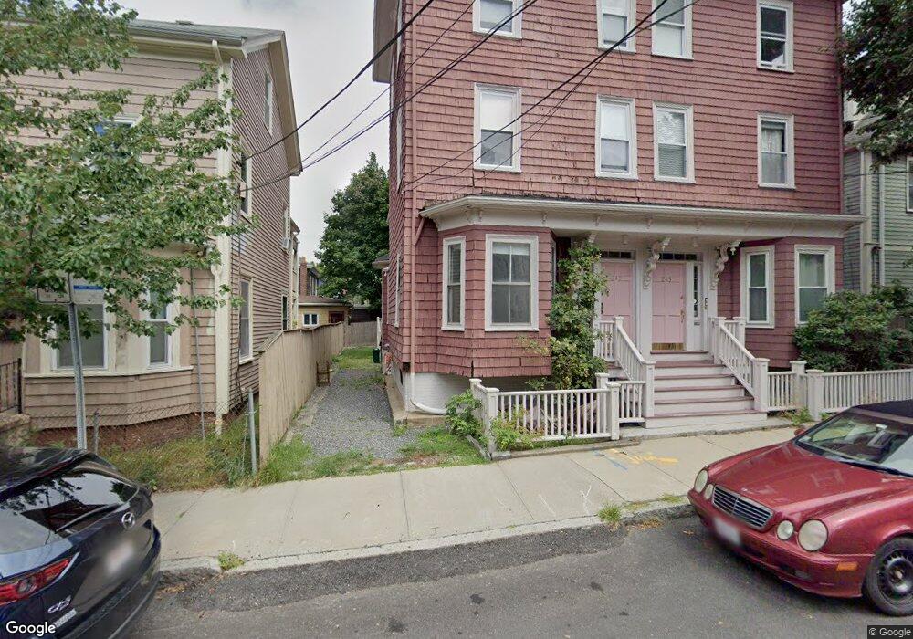
247 Chestnut St Unit 2 Cambridge, MA 02139
Cambridgeport NeighborhoodEstimated Value: $797,000 - $1,069,000
1
Bed
3
Baths
1,180
Sq Ft
$758/Sq Ft
Est. Value
About This Home
This home is located at 247 Chestnut St Unit 2, Cambridge, MA 02139 and is currently estimated at $894,726, approximately $758 per square foot. 247 Chestnut St Unit 2 is a home located in Middlesex County with nearby schools including St Herman Of Alaska Christian School, St. Paul's Choir School, and Boston University Academy.
Ownership History
Date
Name
Owned For
Owner Type
Purchase Details
Closed on
Jun 27, 1995
Sold by
Teeter Martha M
Bought by
Willoughby David
Current Estimated Value
Home Financials for this Owner
Home Financials are based on the most recent Mortgage that was taken out on this home.
Original Mortgage
$108,800
Interest Rate
7.82%
Mortgage Type
Purchase Money Mortgage
Create a Home Valuation Report for This Property
The Home Valuation Report is an in-depth analysis detailing your home's value as well as a comparison with similar homes in the area
Home Values in the Area
Average Home Value in this Area
Purchase History
| Date | Buyer | Sale Price | Title Company |
|---|---|---|---|
| Willoughby David | $136,000 | -- |
Source: Public Records
Mortgage History
| Date | Status | Borrower | Loan Amount |
|---|---|---|---|
| Open | Willoughby David | $35,000 | |
| Closed | Willoughby David | $108,800 |
Source: Public Records
Tax History
| Year | Tax Paid | Tax Assessment Tax Assessment Total Assessment is a certain percentage of the fair market value that is determined by local assessors to be the total taxable value of land and additions on the property. | Land | Improvement |
|---|---|---|---|---|
| 2025 | $4,738 | $746,100 | $0 | $746,100 |
| 2024 | $4,408 | $744,600 | $0 | $744,600 |
| 2023 | $4,196 | $716,000 | $0 | $716,000 |
| 2022 | $4,220 | $712,800 | $0 | $712,800 |
| 2021 | $4,102 | $701,200 | $0 | $701,200 |
| 2020 | $3,904 | $678,900 | $0 | $678,900 |
| 2019 | $3,750 | $631,300 | $0 | $631,300 |
| 2018 | $3,746 | $581,100 | $0 | $581,100 |
| 2017 | $3,532 | $544,200 | $0 | $544,200 |
| 2016 | $3,399 | $486,200 | $0 | $486,200 |
| 2015 | $3,372 | $431,200 | $0 | $431,200 |
| 2014 | $3,334 | $397,900 | $0 | $397,900 |
Source: Public Records
Map
Nearby Homes
- 138 Pleasant St Unit 138
- 151 Magazine St Unit 2
- 180 Magazine St Unit 3
- 174 Hamilton St
- 10 Corporal McTernan St Unit 406
- 13 Howard St Unit 1
- 131 Erie St Unit 2
- 262 Sidney St Unit 3
- 8 Valentine St Unit 8
- 6 Valentine St Unit 10
- 2 Hingham St
- 20 Chestnut St Unit 11
- 39 Cottage St
- 65 Howard St Unit 1
- 22 Magazine
- 6 Watson St Unit 1
- 44-46 Western Ave
- 300 Franklin St Unit 5
- 300 Franklin St Unit 1
- 104-106 Auburn St
- 247 Chestnut St Unit 1
- 245 Chestnut St
- 245 Chestnut St Unit 1
- 249 Chestnut St
- 249 Chestnut St Unit 2
- 25 Whitney Ave Unit 2
- 25 Whitney Ave Unit 1
- 27 Whitney Ave Unit 2
- 27 Whitney Ave Unit 1
- 164 Pleasant St
- 19 Whitney Ave
- 21 Whitney Ave Unit 21
- 162 Pleasant St
- 160 Pleasant St
- 248 Chestnut St
- 248 Chestnut St Unit 248
- 244 Chestnut St Unit 2
- 244 Chestnut St Unit 3
- 15 Whitney Ave
- 158 Pleasant St
Your Personal Tour Guide
Ask me questions while you tour the home.