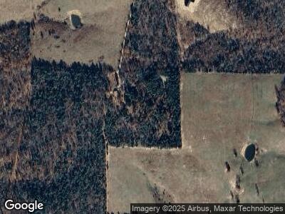
247 Delaney Ln Calico Rock, AR 72519
Estimated Value: $118,000 - $211,000
3
Beds
2
Baths
1,248
Sq Ft
$127/Sq Ft
Est. Value
About This Home
This home is located at 247 Delaney Ln, Calico Rock, AR 72519 and is currently estimated at $158,182, approximately $126 per square foot. 247 Delaney Ln is a home located in Baxter County with nearby schools including Arrie Goforth Elementary School and Norfork High School.
Ownership History
Date
Name
Owned For
Owner Type
Purchase Details
Closed on
May 25, 2018
Sold by
Green Katie N and Green Jordan L
Bought by
Mohr Terry and Mohr Shawnda Jo
Current Estimated Value
Home Financials for this Owner
Home Financials are based on the most recent Mortgage that was taken out on this home.
Original Mortgage
$85,858
Interest Rate
4.4%
Mortgage Type
New Conventional
Purchase Details
Closed on
Apr 9, 2013
Sold by
Sanders Brandon
Bought by
Green Jordan L and Green Katie N
Purchase Details
Closed on
Jan 7, 2008
Sold by
Delaney Tr
Bought by
Sanders Brandon
Create a Home Valuation Report for This Property
The Home Valuation Report is an in-depth analysis detailing your home's value as well as a comparison with similar homes in the area
Home Values in the Area
Average Home Value in this Area
Purchase History
| Date | Buyer | Sale Price | Title Company |
|---|---|---|---|
| Mohr Terry | $85,000 | None Available | |
| Green Jordan L | -- | -- | |
| Sanders Brandon | $50,000 | -- |
Source: Public Records
Mortgage History
| Date | Status | Borrower | Loan Amount |
|---|---|---|---|
| Closed | Lively Remington | $102,725 | |
| Closed | Mohr Charles Terry | $86,800 | |
| Closed | Mohr Terry | $85,858 |
Source: Public Records
Tax History Compared to Growth
Tax History
| Year | Tax Paid | Tax Assessment Tax Assessment Total Assessment is a certain percentage of the fair market value that is determined by local assessors to be the total taxable value of land and additions on the property. | Land | Improvement |
|---|---|---|---|---|
| 2024 | $300 | $16,910 | $1,030 | $15,880 |
| 2023 | $341 | $16,910 | $1,030 | $15,880 |
| 2022 | $357 | $16,910 | $1,030 | $15,880 |
| 2021 | $323 | $13,680 | $930 | $12,750 |
| 2020 | $323 | $13,680 | $930 | $12,750 |
| 2019 | $716 | $13,680 | $930 | $12,750 |
| 2018 | $480 | $13,680 | $930 | $12,750 |
| 2017 | $185 | $13,680 | $930 | $12,750 |
| 2016 | $143 | $10,710 | $1,070 | $9,640 |
| 2015 | $438 | $10,710 | $1,070 | $9,640 |
| 2014 | $493 | $10,710 | $1,070 | $9,640 |
Source: Public Records
Map
Nearby Homes
- 881 Driftwood Dr
- 471 McPhearson Terrace
- 001-00238-012 White Tail Ln
- 0 Tower Ln 72519 Unit 11443596
- 444 Cedar Cabin Ln
- 109 Cr 227
- 45 Old Dolph Rd
- Lots 6,7,8 River Bend Ridge
- 552 Little Creek Ln
- Lot 13 Ozark View Ct
- 47 Ozark View Ct
- Lot 1 Cr 64
- Lot 22 Cr 64
- 929 McPhearson Terrace
- 002-11265-040 McPhearson Terrace
- 1179 Lofton Rd
- 349 McPhearson Terrace
- 349 McPhearson Terrace
- 868 Highway 5
- Lot 2 Cold Water Ct
