247 Denison Way Sevierville, TN 37876
Estimated Value: $595,000 - $668,824
--
Bed
1
Bath
1,800
Sq Ft
$351/Sq Ft
Est. Value
About This Home
This home is located at 247 Denison Way, Sevierville, TN 37876 and is currently estimated at $631,912, approximately $351 per square foot. 247 Denison Way is a home with nearby schools including Catons Chapel Elementary School, Jones Cove Elementary School, and Northview Elementary School.
Ownership History
Date
Name
Owned For
Owner Type
Purchase Details
Closed on
Feb 10, 2012
Sold by
Carithers Robert P
Bought by
Trentham Scotty E and Rentham Lyndie L
Current Estimated Value
Purchase Details
Closed on
Jul 29, 2010
Sold by
Laws Verna A
Bought by
Carithers Robert P
Home Financials for this Owner
Home Financials are based on the most recent Mortgage that was taken out on this home.
Original Mortgage
$37,125
Interest Rate
4.61%
Purchase Details
Closed on
Mar 27, 2009
Sold by
Denison Somerall
Bought by
Laws Verna A
Create a Home Valuation Report for This Property
The Home Valuation Report is an in-depth analysis detailing your home's value as well as a comparison with similar homes in the area
Home Values in the Area
Average Home Value in this Area
Purchase History
| Date | Buyer | Sale Price | Title Company |
|---|---|---|---|
| Trentham Scotty E | $54,000 | -- | |
| Carithers Robert P | $49,500 | -- | |
| Laws Verna A | $47,850 | -- |
Source: Public Records
Mortgage History
| Date | Status | Borrower | Loan Amount |
|---|---|---|---|
| Previous Owner | Laws Verna A | $37,125 |
Source: Public Records
Tax History Compared to Growth
Tax History
| Year | Tax Paid | Tax Assessment Tax Assessment Total Assessment is a certain percentage of the fair market value that is determined by local assessors to be the total taxable value of land and additions on the property. | Land | Improvement |
|---|---|---|---|---|
| 2025 | $1,491 | $100,750 | $12,500 | $88,250 |
| 2024 | $1,491 | $100,750 | $12,500 | $88,250 |
| 2023 | $1,491 | $100,750 | $0 | $0 |
| 2022 | $1,491 | $100,750 | $12,500 | $88,250 |
| 2021 | $1,491 | $100,750 | $12,500 | $88,250 |
| 2020 | $1,518 | $100,750 | $12,500 | $88,250 |
| 2019 | $1,436 | $77,200 | $12,500 | $64,700 |
| 2018 | $1,436 | $77,200 | $12,500 | $64,700 |
| 2017 | $1,436 | $77,200 | $12,500 | $64,700 |
| 2016 | $1,436 | $77,200 | $12,500 | $64,700 |
| 2015 | -- | $73,975 | $0 | $0 |
| 2014 | $1,206 | $73,986 | $0 | $0 |
Source: Public Records
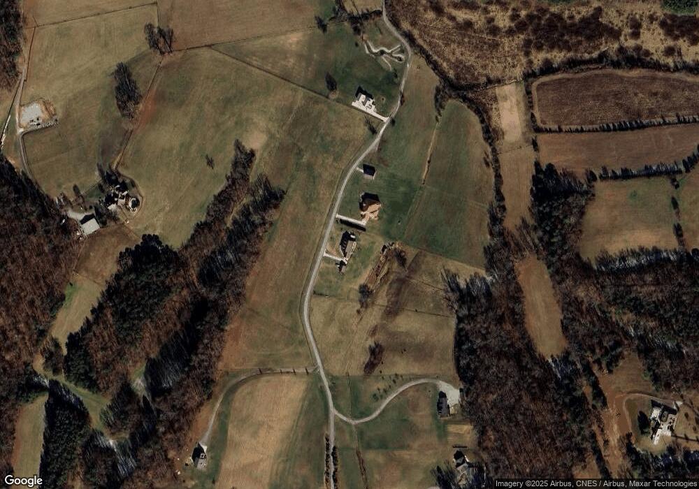
Map
Nearby Homes
- 134 Burning Oaks Dr
- 125 Burning Oaks Dr
- 105 Burning Oaks Dr
- 150 Burning Oaks Dr
- 279 Arrowhead Mountain Way
- 274 Burning Oaks Dr
- 224 Burning Oaks Dr
- 1 Thomas Cross Rd
- 00 Thomas Cross Rd
- 0 Thomas Cross Rd Unit 1312639
- 3650 Phillips Rd
- 223 Burning Oaks Dr
- 320 Muscadine Ct
- 3851 Mistletoe Loop
- 3643 Thomas Cross Rd
- 4151 Newport Hwy
- 4169 Newport Hwy
- 577 Thomas Loop Rd
- 509 Thomas Loop Rd
- 4310 Stonehenge Way
- 000 Denison Way
- 237 Denison Way
- 0 Lot 12 Denison Way Unit 1006240
- 216 Denison Way
- 277 Denison Way
- 280 Hardwork Rd
- 289 Denison Way
- 282 Denison Way
- 296 Denison Way
- 3954 Thomas Cross Rd
- 491 Mary Ruth Way
- 3950 Fox Den Rd
- 3950 Thomas Cross Rd
- 220 Hardwork Rd
- 3980 Thomas Cross Rd
- 3980 Thomas Cross Rd
- 3964 Thomas Cross Rd
- 3838 Thomas Cross Rd
- 3928 Thomas Cross Rd
- 205 Hardwork Rd