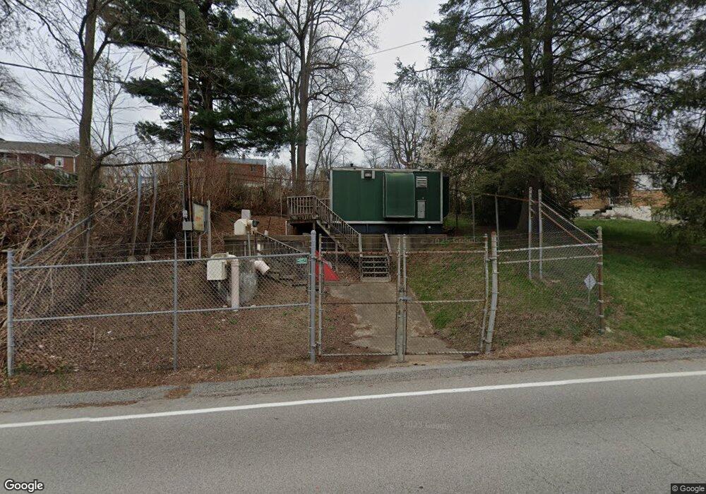
247 Forest Grove Rd Coraopolis, PA 15108
Kennedy Township NeighborhoodEstimated Value: $135,000 - $150,000
2
Beds
1
Bath
672
Sq Ft
$210/Sq Ft
Est. Value
About This Home
This home is located at 247 Forest Grove Rd, Coraopolis, PA 15108 and is currently estimated at $141,113, approximately $209 per square foot. 247 Forest Grove Rd is a home located in Allegheny County with nearby schools including David E. Williams Middle School, Montour Elementary School, and Montour High School.
Ownership History
Date
Name
Owned For
Owner Type
Purchase Details
Closed on
Aug 11, 2020
Sold by
Mcelwain Joseph W and Mc Elwain Ruth
Bought by
Lee Andrew J and Conlon Megan
Current Estimated Value
Home Financials for this Owner
Home Financials are based on the most recent Mortgage that was taken out on this home.
Original Mortgage
$112,670
Outstanding Balance
$99,760
Interest Rate
2.9%
Mortgage Type
New Conventional
Estimated Equity
$41,353
Purchase Details
Closed on
Sep 22, 2008
Sold by
Mayes Lewis
Bought by
Mcelwain Joseph W
Home Financials for this Owner
Home Financials are based on the most recent Mortgage that was taken out on this home.
Original Mortgage
$59,920
Interest Rate
6.54%
Mortgage Type
New Conventional
Purchase Details
Closed on
Oct 12, 1976
Bought by
Kennedy Twp Municipal Sewage Authy
Create a Home Valuation Report for This Property
The Home Valuation Report is an in-depth analysis detailing your home's value as well as a comparison with similar homes in the area
Home Values in the Area
Average Home Value in this Area
Purchase History
| Date | Buyer | Sale Price | Title Company |
|---|---|---|---|
| Lee Andrew J | $118,600 | None Available | |
| Mcelwain Joseph W | $62,434 | -- | |
| Kennedy Twp Municipal Sewage Authy | -- | -- |
Source: Public Records
Mortgage History
| Date | Status | Borrower | Loan Amount |
|---|---|---|---|
| Open | Lee Andrew J | $112,670 | |
| Previous Owner | Mcelwain Joseph W | $59,920 |
Source: Public Records
Tax History Compared to Growth
Tax History
| Year | Tax Paid | Tax Assessment Tax Assessment Total Assessment is a certain percentage of the fair market value that is determined by local assessors to be the total taxable value of land and additions on the property. | Land | Improvement |
|---|---|---|---|---|
| 2025 | $1,567 | $62,200 | $35,200 | $27,000 |
| 2024 | $1,567 | $62,200 | $35,200 | $27,000 |
| 2023 | $1,558 | $62,200 | $35,200 | $27,000 |
| 2022 | $1,558 | $62,200 | $35,200 | $27,000 |
| 2021 | $294 | $62,200 | $35,200 | $27,000 |
| 2020 | $1,107 | $62,200 | $35,200 | $27,000 |
| 2019 | $1,103 | $44,200 | $35,200 | $9,000 |
| 2018 | $209 | $44,200 | $35,200 | $9,000 |
| 2017 | $1,091 | $44,200 | $35,200 | $9,000 |
| 2016 | $209 | $44,200 | $35,200 | $9,000 |
| 2015 | $209 | $44,200 | $35,200 | $9,000 |
| 2014 | $1,044 | $44,200 | $35,200 | $9,000 |
Source: Public Records
Map
Nearby Homes