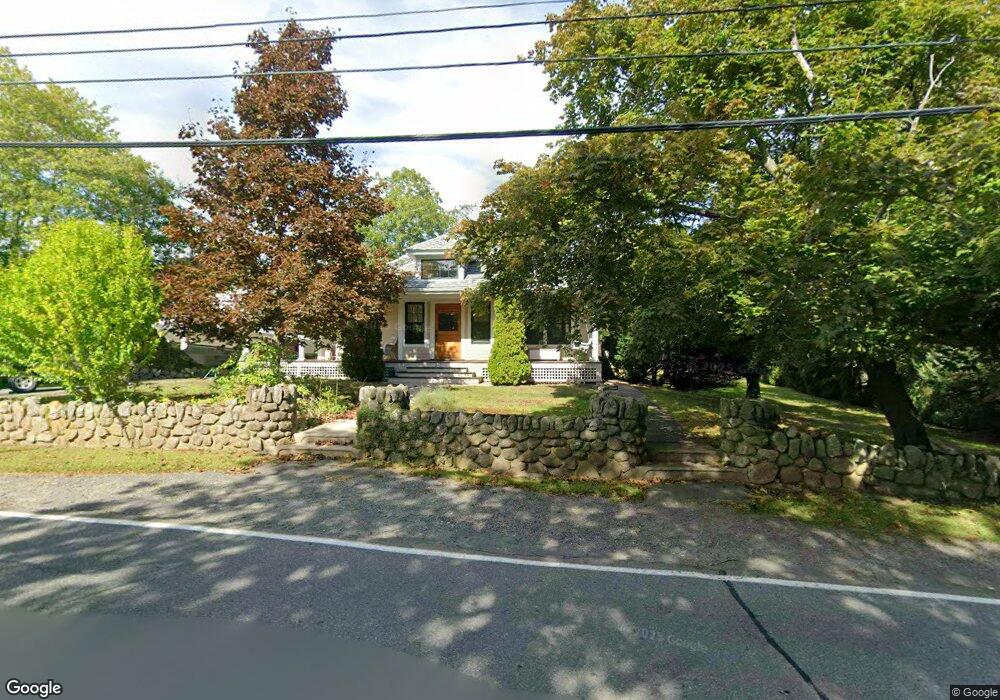
247 Granite St Rockport, MA 01966
Estimated Value: $1,132,000 - $1,415,000
3
Beds
2
Baths
2,581
Sq Ft
$477/Sq Ft
Est. Value
About This Home
This home is located at 247 Granite St, Rockport, MA 01966 and is currently estimated at $1,230,473, approximately $476 per square foot. 247 Granite St is a home located in Essex County with nearby schools including Rockport Elementary School, Rockport Middle School, and Rockport High School.
Ownership History
Date
Name
Owned For
Owner Type
Purchase Details
Closed on
Jul 31, 1992
Sold by
Roller Heinz K and Roller June R
Bought by
Conley Peter F
Current Estimated Value
Home Financials for this Owner
Home Financials are based on the most recent Mortgage that was taken out on this home.
Original Mortgage
$150,000
Interest Rate
8.46%
Mortgage Type
Purchase Money Mortgage
Create a Home Valuation Report for This Property
The Home Valuation Report is an in-depth analysis detailing your home's value as well as a comparison with similar homes in the area
Home Values in the Area
Average Home Value in this Area
Purchase History
| Date | Buyer | Sale Price | Title Company |
|---|---|---|---|
| Conley Peter F | $191,250 | -- | |
| Conley Peter F | $191,250 | -- |
Source: Public Records
Mortgage History
| Date | Status | Borrower | Loan Amount |
|---|---|---|---|
| Open | Conley Peter F | $360,000 | |
| Closed | Conley Peter F | $150,000 | |
| Previous Owner | Conley Peter F | $20,000 |
Source: Public Records
Tax History Compared to Growth
Tax History
| Year | Tax Paid | Tax Assessment Tax Assessment Total Assessment is a certain percentage of the fair market value that is determined by local assessors to be the total taxable value of land and additions on the property. | Land | Improvement |
|---|---|---|---|---|
| 2025 | $8,498 | $970,100 | $322,100 | $648,000 |
| 2024 | $7,673 | $911,300 | $306,800 | $604,500 |
| 2023 | $7,673 | $813,700 | $255,600 | $558,100 |
| 2022 | $7,875 | $736,600 | $227,400 | $509,200 |
| 2021 | $6,838 | $702,100 | $216,600 | $485,500 |
| 2020 | $6,316 | $625,300 | $206,300 | $419,000 |
| 2019 | $5,736 | $581,700 | $202,500 | $379,200 |
| 2018 | $5,881 | $581,700 | $202,500 | $379,200 |
| 2017 | $5,927 | $525,400 | $183,700 | $341,700 |
| 2016 | $6,080 | $540,400 | $178,500 | $361,900 |
| 2015 | $5,754 | $523,100 | $178,500 | $344,600 |
| 2014 | $5,434 | $482,200 | $160,700 | $321,500 |
Source: Public Records
Map
Nearby Homes
- 13 Phillips Ave
- 73 Phillips Ave
- 25 Stockholm Ave
- 165 Granite St
- 2 Wharf Rd
- 2 Norseman Ave
- 2 Boulder Top
- 13 Rowe Point
- 26 Quarry Ridge Ln
- 1 Doctors Run
- 63R Main St Unit 2
- 36 Broadway Ave
- 123 Main St Unit 2
- 2 Mount Pleasant St Unit 3
- 15 High St Unit D
- 6 Mount Locust Place Unit 2
- 5 Allen Ave
- 4 Norwood Ave
- 135 A&B Main St
- 962 Washington St
- 245 Granite St
- 202 Granite St
- 200 Granite St
- 121 Phillips Ave
- 119 Phillips Ave
- 204 Granite St
- 206 Granite St
- 198 Granite St
- 253 Granite St
- 196 Granite St
- 117 Phillips Ave
- 243 Granite St
- 255 Granite St
- 17 Mount Locust Ave
- 78 Curtis St
- 194 Granite St
- 73 Curtis St
- 113 Phillips Ave
- 16 Mount Locust Ave
- 239 Granite St